


|
|
|
|
|
|
| |
| 15-JAN-2008 | |
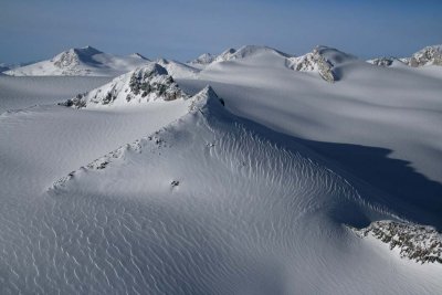
Henderson (50° 52' 30"N, 123° 40' 26"W) is the double summit at R/center.
Mills is at L background. The crags at center/L are unnamed.
Photograph location (est): 50°51'31.49"N 123°37'58.21"W
Copyright 2002-2025, John H. Scurlock, Photographer/Pilot