New Mexico with Panasonic FZ-1000
|
Unusual October Rain and Hail Storm
|
Gallup, NM Inter-Tribal Ceremonial (2015)
|
Mescalero Apache, NM (2015)
|
Aguirre Springs New Mexico (2015)
|
Farm and Ranch Museum (Panasonic LX100)
|
Tortugas: Our Lady of Guadalupe (2014)
|
Silver City, NM (2014)
|
New Mexico State Fairs (2014)
|
Santa Fe, NM (2014)
|
Albuquerque, NM (2014)
|
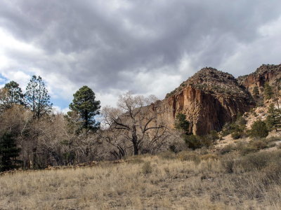
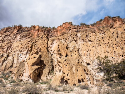
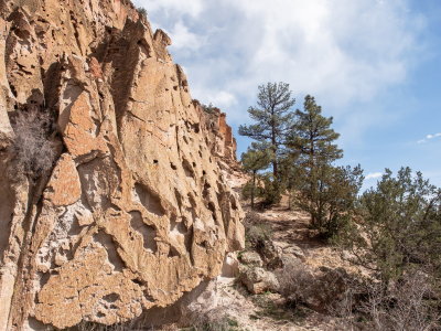
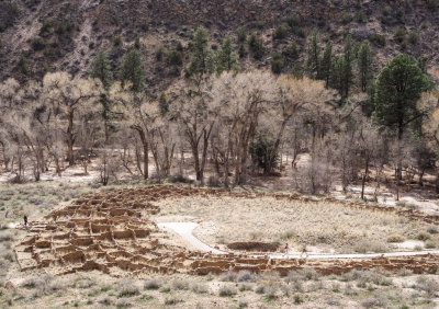
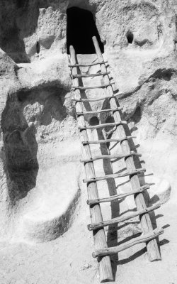
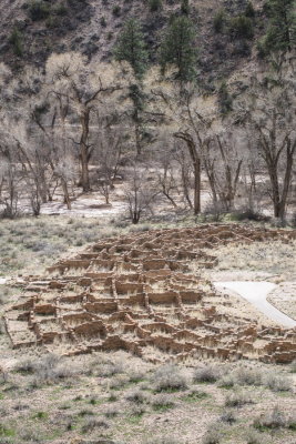
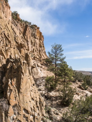
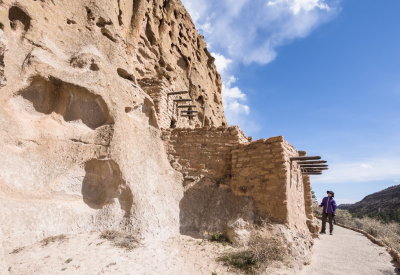
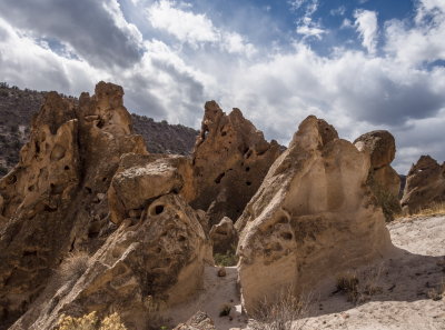
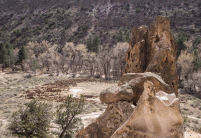
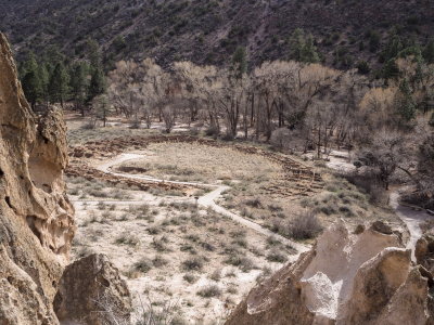
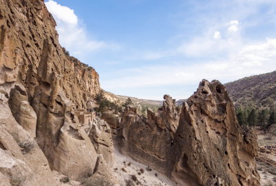
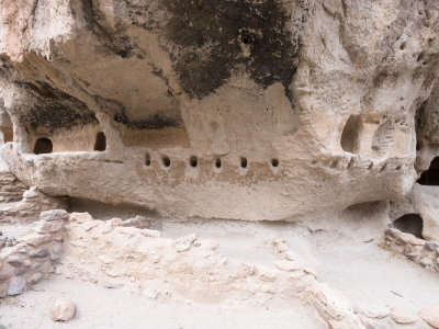
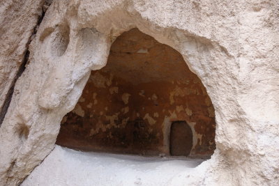
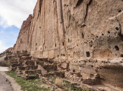
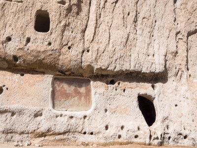
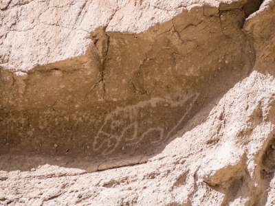
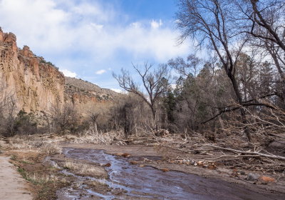
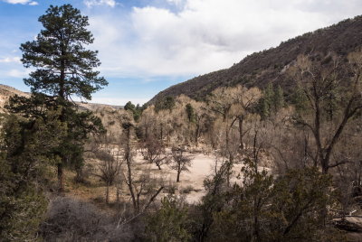
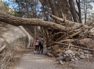
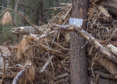
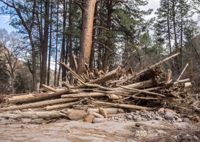
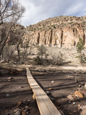
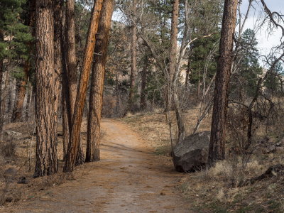
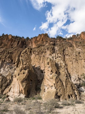
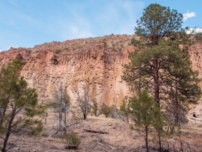
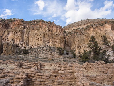
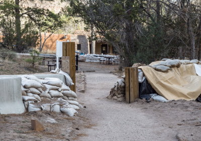
Bandelier National Monument (2014)
|
Broad Canyon, NM
|
Organ Mountains, NM (2013-15)
|
Rodeo: Women's Barrel Racing (2011-13)
|
College Rodeo in NM
|
Historic New Mexico 2011-2014
|
Organ Mountains New Mexico: 2011-13
|
White Sands -- 2013-2015
|
Cinco de Mayo (2011)
|
Dia de los Muertos 2011
|
Taylor Museum #2
|
Cinco de Mayo 2012 (Olympus E-M5)
|
Mesilla music festivals -- Fall 2012
|
Project in Motion and Fire Dancers
|
Taylor Museum #3 -- Nacimientos
|
Historic Structures in Mesilla, NM
|
Cinco de Mayo 2013
|
Car Show in Mesilla, NM (2013)
|
Mesilla, NM festivals Fall 2013
|
Barrel Racing -- Sarah V.
|
J. Paul Taylor's 90th birthday celebration in Mesilla, NM
|
J Paul Taylor Birthday Salute (2012)
|
J. Paul Taylor 93rd birthday salute (2013)
|
J Paul Taylor 94th birthday celebration
Bandelier National Monument (2014)
click on thumbnails for full image