photo sharing and upload picture albums photo forums search pictures popular photos photography help login
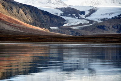
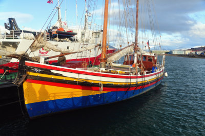
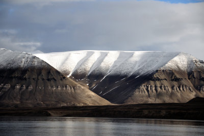
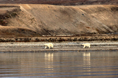
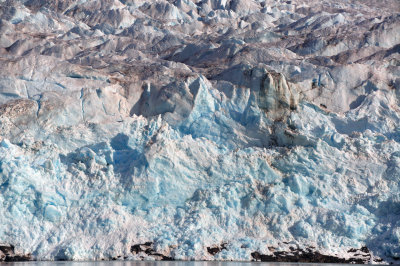
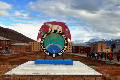
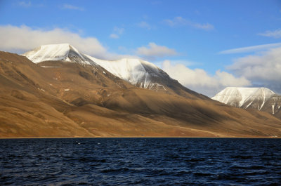
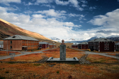
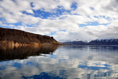
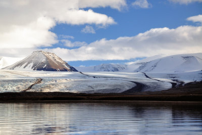
Xavi Barneda | profile | all galleries >> Galleries >> Svalbard tree view | thumbnails | slideshow | map

Svalbard

Some images taken during a trip to Svalbard islands in August 2012.

Svalbard is an archipelago in the Arctic, constituting the northernmost part of Norway. It is located about 400 miles north of mainland Europe, midway between mainland Norway and the North Pole. The group of islands range from 74° to 81° north latitude (inside the Arctic Circle), and from 10° to 35° east longitude. Spitsbergen is the largest island, followed by Nordaustlandet and Edgeøya. The administrative center is Longyearbyen, and other settlements include the Russian mining community of Barentsburg, the research community of Ny-Ålesund and the mining outpost of Sveagruva. The archipelago is administered by the Governor of Svalbard.

The archipelago features an Arctic climate, although with significantly higher temperatures than other areas at the same latitude. The flora take advantage of the long period of midnight sun to compensate for the polar night. Svalbard is a breeding ground for many seabirds, and also features polar bears, reindeer and marine mammals. Seven national parks and twenty-three nature reserves cover two-thirds of the archipelago, protecting the largely untouched, yet fragile, environment. Sixty percent of the archipelago is glacier, and the islands feature many mountains and fjords.
Arctic peace... Arctic rainbow... Midnight sun lighting,,, Fulmar (I)... Fulmar (II)
Take Care... Harbour... DSC_0216.jpg DSC_0274.jpg DSC_0336.jpg
DSC_0222.jpg Polar bears... Ice... DSC_0335.jpg DSC_0235.jpg
Pyramiden... DSC_0333.jpg Pyramiden main avenue... Longyearbyen Soviet symbols...
Snowmobile... Puffin... Icescape... DSC_0276.jpg DSC_0263.jpg
DSC_0166.jpg Red Point... DSC_0325.jpg Mountains, Ice, Sea...just nature... DSC_0277.jpg
DSC_0237.jpg