


|
|
|
|
|
|
| Osman | profile | all galleries >> Galleries >> AKSARAY | tree view | thumbnails | slideshow |
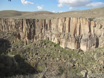
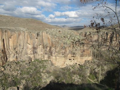
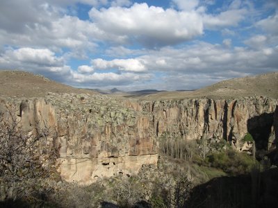
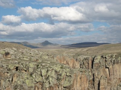
[ Cimeli Vilage and the Eclipse of the Sun ] |
 20110423 036.JPG |
 20110423 037.JPG |
 20110423 038.JPG |
 20110423 039.JPG |
 20110423 040.JPG |
 20110423 041.JPG |
 20110423 042.JPG |
 20110423 043.JPG |
 20110423 044.JPG |
 20110423 045.JPG |
 20110423 046.JPG |
 20110423 047.JPG |
 20110423 048.JPG |
 2010 04 04 037.JPG |
 2010 04 04 045.JPG |
 2010 04 04 047.JPG |
 2010 04 04 048.JPG |
 2010 04 04 049.JPG |
 2010 04 04 050.JPG |
 2010 04 04 051.JPG |
 2010 04 04 052.JPG |
 2010 04 04 053.JPG |
 2010 04 04 054.JPG |
 2010 04 04 057.JPG |
 2010 04 04 064.JPG |
 2010 04 04 065.JPG |
 2010 04 04 066.JPG |
 2010 04 04 067.JPG |
 2010 04 04 069.JPG |
 2010 04 04 070.JPG |
 2010 04 04 071.JPG |
 2010 04 04 072.JPG |
 2010 04 04 073.JPG |
 2010 04 04 074.JPG |
 2010 04 04 075.JPG |
 2010 04 04 076.JPG |
 2010 04 04 077.JPG |
 2010 04 04 078.JPG |
 2010 04 04 079.JPG |
 2010 04 04 082.JPG |
 2010 04 04 085.JPG |
 2010 04 04 086.JPG |
 2010 04 04 093.JPG |
 2010 04 04 094.JPG |
 2010 04 04 097.JPG |
| comment | share |