photo sharing and upload picture albums photo forums search pictures popular photos photography help login
Type your message and click Add Comment
It is best to login or register first but you may post as a guest.
Enter an optional name and contact email address. Name
Name Email
help private comment
Greg Lief | profile | all galleries >> Waterfalls & Rivers >> Mehama area tree view | thumbnails | slideshow

Abiqua Creek | Alsea River | Brice Creek | Butte Creek | Cascadia S.P. | Devil's Staircase | Drift Creek Falls | Gifford Pinchot National Forest | Golden and Silver Falls S.P. | Henline Creek | Jordan Creek | Kentucky Falls | Lacamas Park | Little River | McDowell Creek | Mehama area | Mossbrae Falls | Munson Creek | Niagara Park | North Umpqua River | Oakridge area | Opal Creek | Outlet Falls | Proxy Falls | Rogue River-Siskiyou National Forest | Shoshone Falls | Silver Falls S.P. | Sweet Creek | Testament Falls | Tygh Valley | University Falls | Washougal River | Wilson River

Mehama area

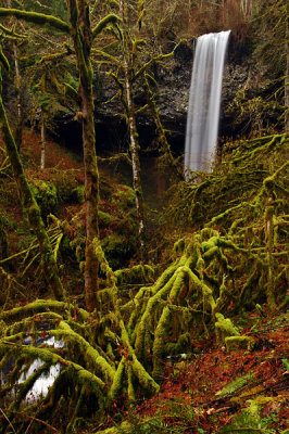
This gallery contains waterfalls in the vicinity of Mehama, Oregon, approximately 20 miles east of Salem. Shellburg and Stout Creek Falls are located within the [highly fragmented] Santiam State Forest. If you visit this area, be sure to stop by The Gingerbread House for one of their terrific shakes.

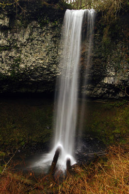
Ayers Creek Falls study #1
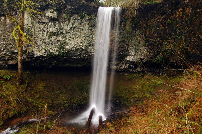
Ayers Creek Falls study #2
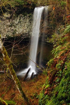
Ayers Creek Falls study #3
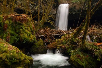
Horseshoe Falls study #1
Horseshoe Falls study #2
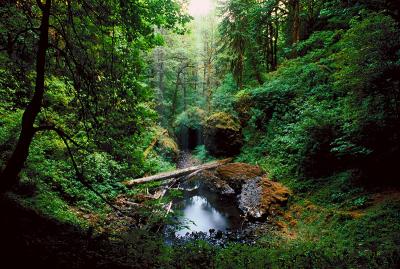
Shellburg Canyon
Shellburg Canyon
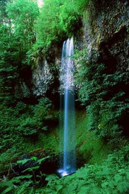
Shellburg Falls study #1
Shellburg Falls winter study #1
Shellburg Falls winter study #2
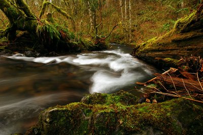
Stout Creek
Stout Creek
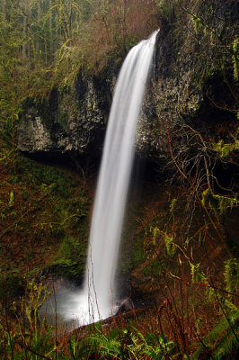
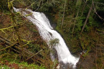
Stout Creek Falls #1
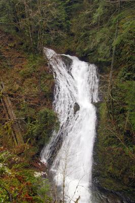
Stout Creek Falls #2
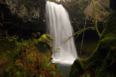
Upper Ayers Creek Falls