photo sharing and upload picture albums photo forums search pictures popular photos photography help login
Greg Lief | profile | all galleries >> Waterfalls & Rivers >> Tygh Valley tree view | thumbnails | slideshow

Abiqua Creek | Alsea River | Brice Creek | Butte Creek | Cascadia S.P. | Devil's Staircase | Drift Creek Falls | Gifford Pinchot National Forest | Golden and Silver Falls S.P. | Henline Creek | Jordan Creek | Kentucky Falls | Lacamas Park | Little River | McDowell Creek | Mehama area | Mossbrae Falls | Munson Creek | Niagara Park | North Umpqua River | Oakridge area | Opal Creek | Outlet Falls | Proxy Falls | Rogue River-Siskiyou National Forest | Shoshone Falls | Silver Falls S.P. | Sweet Creek | Testament Falls | Tygh Valley | University Falls | Washougal River | Wilson River

Tygh Valley

The Tygh Valley is located 30 miles south of The Dalles in Central Oregon. It is home to White River Falls State Park, which is as unlikely a location for great waterfalls as you shall ever stumble upon! Sherars Falls is four miles east of White River Falls State Park, along the Deschutes River.
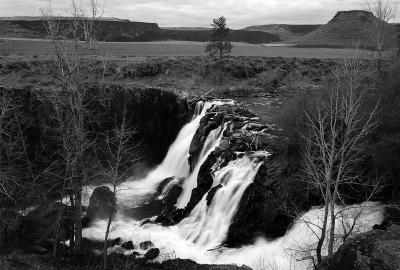
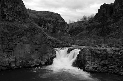
Lower White River Falls
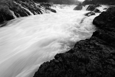
Middle White River Falls, #1
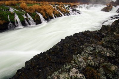
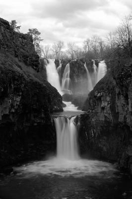
Middle White River Falls, #2
Middle White River Falls, #3
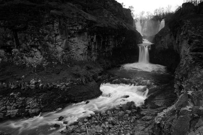
Upper White River Falls, #1
Upper White River Falls, #2
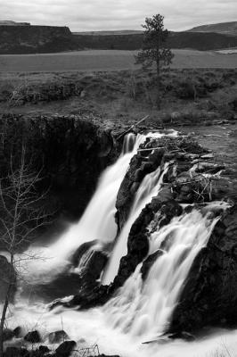
Sherars Falls, #1
Sherars Falls, #1
Sherars Falls, #2
Sherars Falls, #2