


|
|
|
|
|
|
| Dave Thomas | profile | all galleries >> Out and About in Southeastern PA >> Rail Trails, Etc. >> Perkiomen Trail >> Miles 12 and 13 >> Post-Irene | tree view | thumbnails | slideshow |
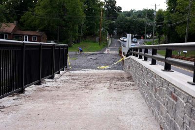
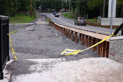
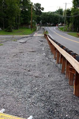
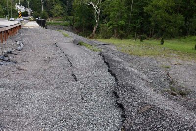
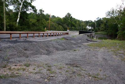
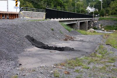
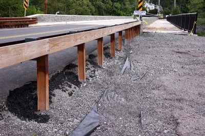
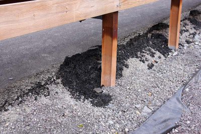
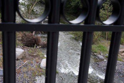
Approximately half the length of the bridge just opened in October 2010 was submerged
by flood waters as the Perkiomen raged after six to ten inches of rain dumped by
Hurricane Irene in August, 2011. Winds were fairly modest, but a lot of water came down.
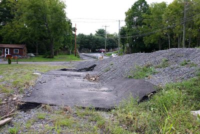
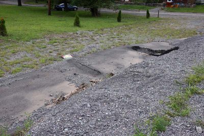
On the Spring Mount end of the trail approach to the bridge, the water got under the
blacktop paving, lifted it and slid it off the built up base, washing out some
of the crushed stone bed. One could bypass this by using the roadway, or negotiate
the trail on foot unless one has a mountain bike set of wheels.
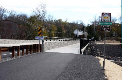
November 2011: This damage was not fully repaired, but regraded to be reasonably passable. By early 2012, the wrecked pavement was fully restored.
 Spring Mount End |
 West End |
 Formerly Paved Approach |
 Before Irene |
 After Irene |
 Spring Mount End |
 West End View |
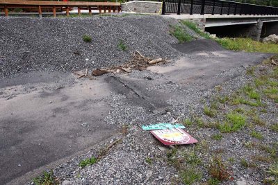 Buried Sign |
 Shifted Pavement |
 Looking East |
 Highway Edge |
 Dumped Blacktop |
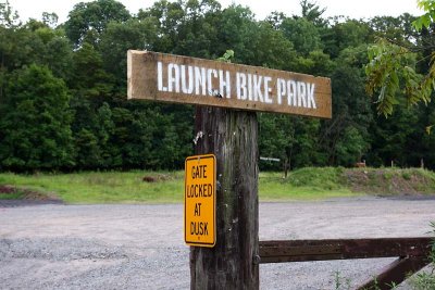 Ironic Naming |
 Back to Normal |