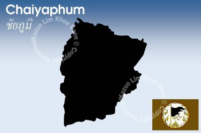
Chaiyaphum is one of the north-eastern provinces of Thailand. Neighboring provinces are (from north clockwise) Khon Kaen, Nakhon Ratchasima, Lopburi and Phetchabun.
The word Chaiya originates from the Sanskrit word Jaya meaning Victory, and the word Phum from Sanskrit Bhumi meaning earth or land. Hence the name of the province literally means Land of Victory. The Malay/Indonesian word Jayabumi is equivalent.
The province is cut into two halves by the Phetchabun mountain range, with the highest elevation in the province at 1222 m. The east of the province belongs to the Khorat Plateau.
Four national parks are located in the province. The Tat Thon National Park is in north-west of the province, featuring some scenic waterfalls and dry dipterocarp forests. The biggest attraction of the Sai Thong National Park in the west of the province is the Sai Thong waterfall, but also some fields of the Siam Tulip. Similar fields can be found in the Pa Hin Ngam National Park in the south-west, scheduled to be gazetted in the future. This park has its name from the strangely shaped rock formations found there (beautiful rock forest). Phu Laenkha National Park covers another 200 km˛ of forested hills northwest of Chaiyaphum city.