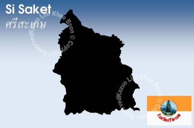
Si Saket, literally means "Four colours chrysanthemum", is one of the north-eastern provinces of Thailand. Neighboring provinces are (from west clockwise) Surin, Roi Et, Yasothon and Ubon Ratchathani. To the south it borders Oddar Meancheay and Preah Vihear of Cambodia.
The province is located in the valley of the Mun river, a tributary of the Mekong. To the south of the province is the Dângręk mountain chain, which also forms the boundary to Cambodia.
Khao Phra Wihan National Park covers an area of 130 km˛ of the Dângręk mountains in the southeast of the province. It was established on March 20, 1998. It is named after the Khmer temple Prasat Preah Vihear (Anglicized in Thailand as Prasat Khao Phra Wihan), located in Cambodia, which had been the issue of boundary dispute between the two countries and was thus unaccessible for most of recent history.
At the boundary survey done by France for the Franco-Siamese treaty of 1907, despite the geographical divide of Dângręk Mountains's watershed, the temple was left on the French (Cambodian) side, while the boundary in other parts followed the watershed. In 1962 the dispute was officially settled by the International Court of Justice, confirming the 1907 boundary.