photo sharing and upload picture albums photo forums search pictures popular photos photography help login
Suze | profile | all galleries >> Dry Valleys: Taylor >> Blood Falls and lower Taylor Glacier tree view | thumbnails | slideshow

Installing Strain Stakes Jan '04 | Ice Cliff Work, Nov '04 | Blood Falls and lower Taylor Glacier | Taylor Glacier Toe Ice | Blood Falls Camp Scenes, Nov. '04 | Lake Bonney and camp

Blood Falls and lower Taylor Glacier

Dr. B. Lyons: "The reddish deposit flowing out of Blood Falls is probably the last remnant of an ancient salt-water lake. The lake probably formed as much as 5 million years ago when the sea levels were higher and the ocean reached far inland. Analysis suggests deposits formed at the site of an ancient lakebed when the ocean receded from the valley. Perhaps at a time when this valley resembled more a Scandanavian fjord, some sea water was trapped in the lower portion of the valley. When the Taylor Glacier eventually advanced over the top, the seawater was essentially freeze-dried and trapped during the Miocene period."
Researchers believe that "as the glacier moved forward down through the valley, it captured some of the deposit and forced it up into the body of ice. Eventually, the deposit reached the margin, or edge, of the glacier and is being slowly pushed out or the ice.
As the reddish, icy sludge melts at the margin of the glacier, it runs off into Lake Bonney, one of only four ice-covered lakes in the Dry Valleys." See http://researchnews.osu.edu/archive/bloodfalls.htm
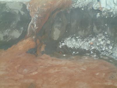
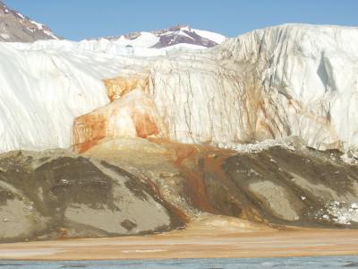
Blood Falls closer.JPG
Blood Falls from the air.JPG
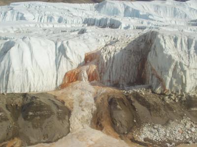
Blood Falls and area pre-melt season.JPG
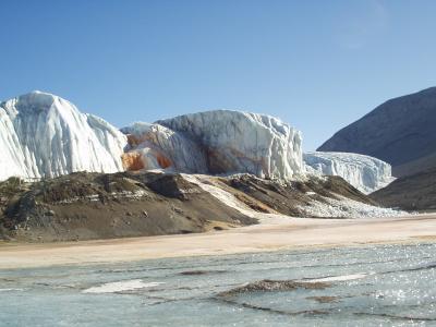
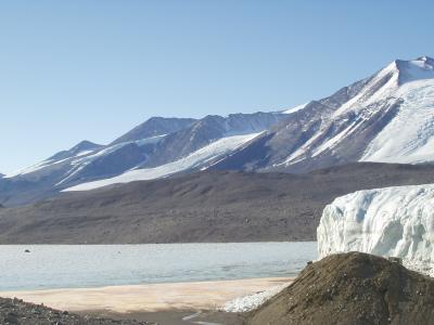
Blood Falls and N side of Taylor toe from W Lobe Lake Bonney.JPG
Lower half of Blood Falls from the air.JPG
Sollas Gl across Bonney W-lobe Blood Falls outflow from N side Tayl Gl.JPG
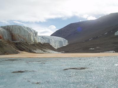
Camp W Lobe Bonney north edge of Taylor Gl toe.JPG
Toe of Taylor just L of Blood Falls pre-melt season from air.JPG
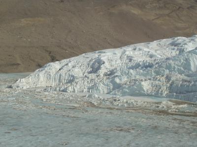
Toe of Taylor Gl from air.JPG
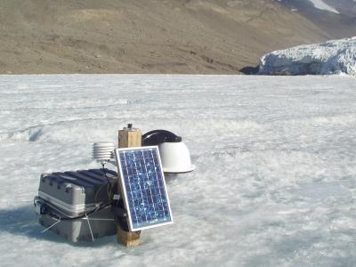
Lake Bonney West Lobe camera installation.JPG
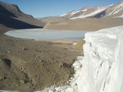
Taylor Gl W Lobe of Lake Bonney from Bonney Riegel .JPG
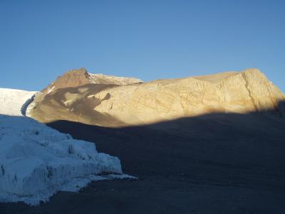
Mt JJ Thompson Rhone Gl approx midnight from Taylor Gl.JPG
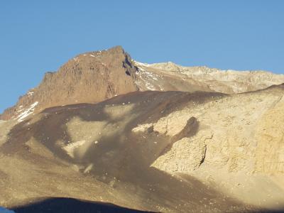
Mt JJ Thompson approx midnight from Taylor Gl.JPG
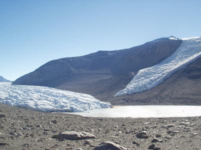
Lower Calkin Gl to S of toe of Taylor Gl.JPG