


|
|
|
|
|
|
| Chris Bycroft | profile | all galleries >> John Muir Trail 2010 >> Part 3: Red Meadows to Vermilion Valley Resort | tree view | thumbnails | slideshow | map |
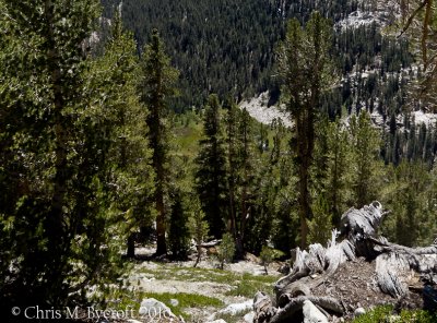
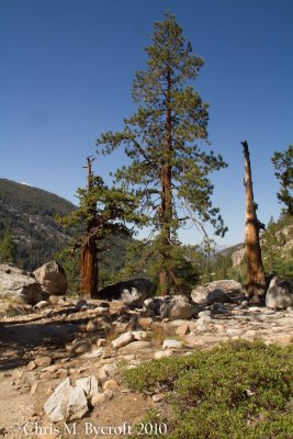
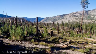 Day 8: Burnt Forest, South of Red Meadows |
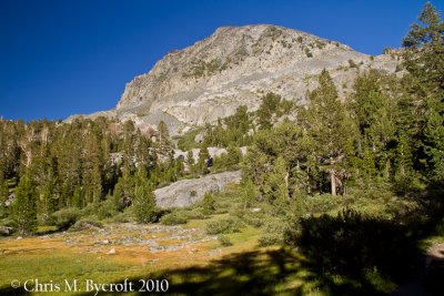
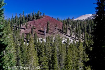 One of the Red Cones. |
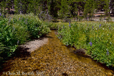
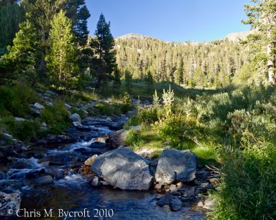
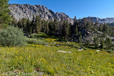
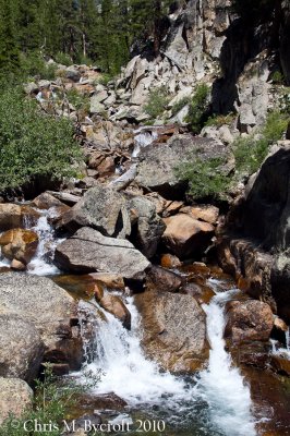
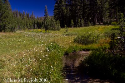 Stream and meadow |
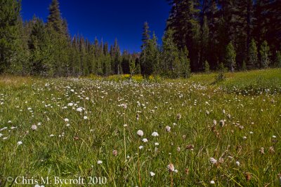 Meadow |
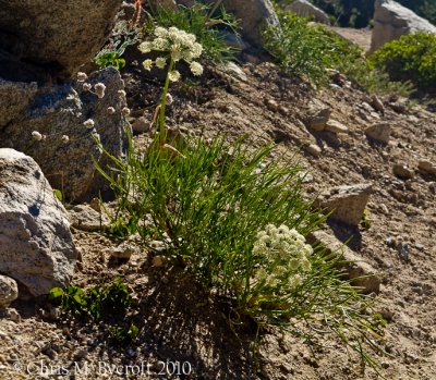
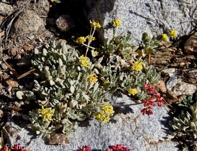
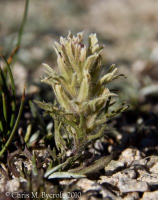
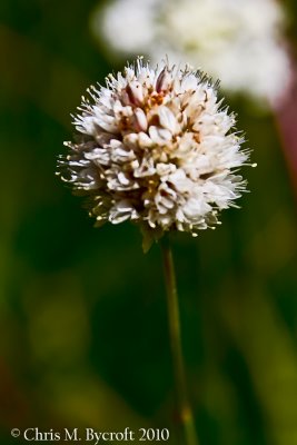 Nude Buckwheat |
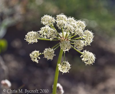
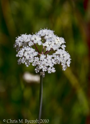 Not sure - possibly Sierra Yampah |
 Large-leaved lupines overhanging stream |
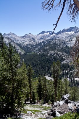
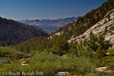
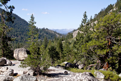
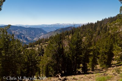 View to the north along Fish Valley |
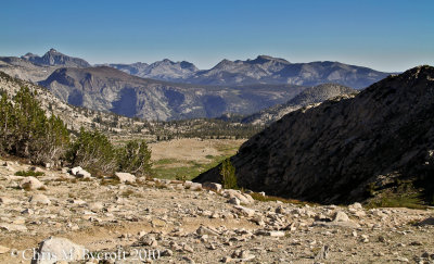
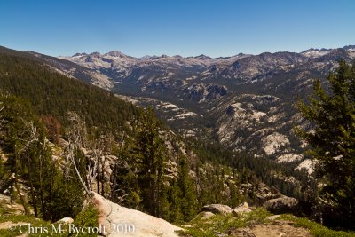 View South toward the Silver Divide |
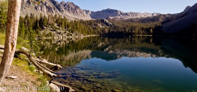
 Duck Creek, near campsite 5.03 |
 Towards Duck Pass |
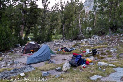 Day 9: Campsite near Duck Creek |
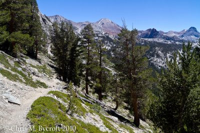
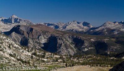
 View north-west to the Silver Divide, including Silver Pass and the Cascade Valley |
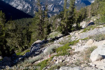 Trackside sagebrush shrubland vegetation - the next few photos show some of the plants present |
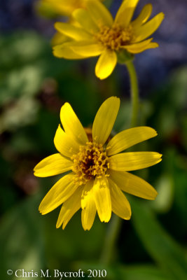
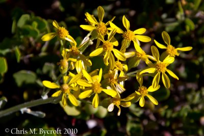 Yellow daisies |
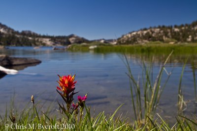
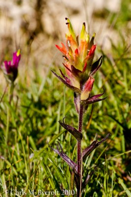
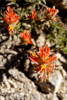 An orange paintbrush |
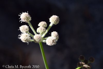
 Sierra angelica - the plant |
 The flowers of Sierra angelica |
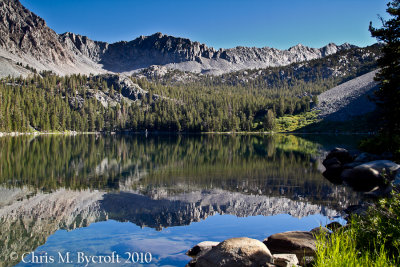
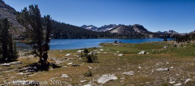
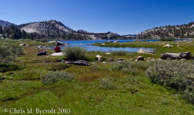
 Meadow by Purple Lake |
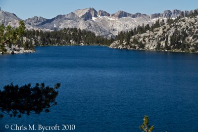
 Purple Lake reflections |
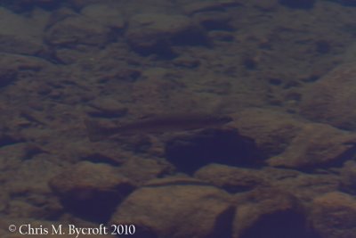 Golden Trout in Purple Lake |
 Ranger's Button near Purple Lake outlet |
 May be mountain mule ears |
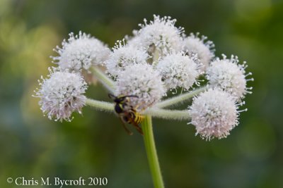 A wasp on ranger's button |
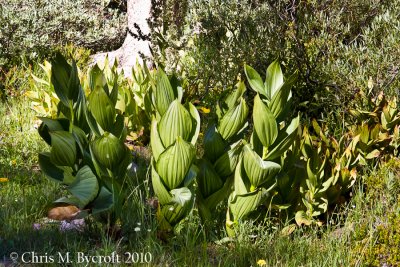 Corn lillies, Purple Lake outlet |
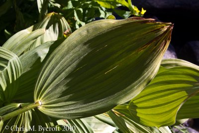 Corn lily leaves |
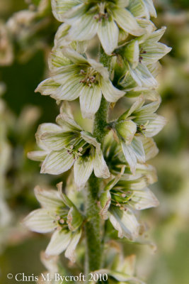 Corn lily flowers |
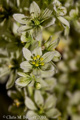 Corn lily flowers |
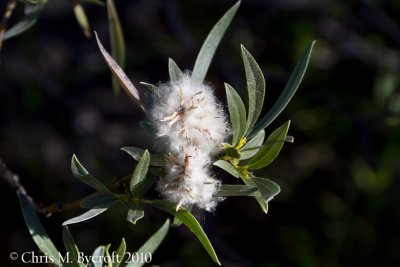 Willow flowers |
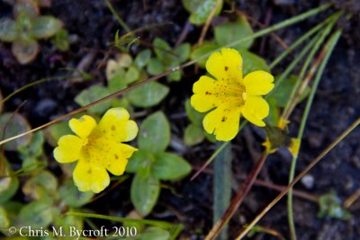 Monkey flower |
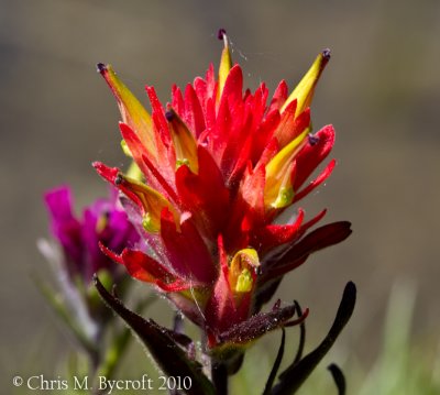
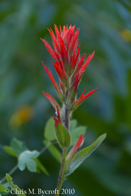 Giant red paintbrush flower |
 Reflections - Purple Lake |
 Heading toward Lake Virginia |
 Lake edge flowers, Virginia Lake |
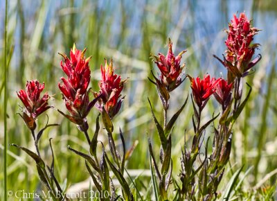
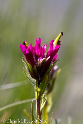 Lemmon's paintbrush |
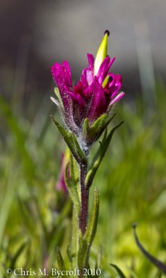 Lemmon's paintbrush |
 An orange wavy-leaved paintbrush |
 Mountain paintbrush flowers |
 Mountain paintbrush flower |
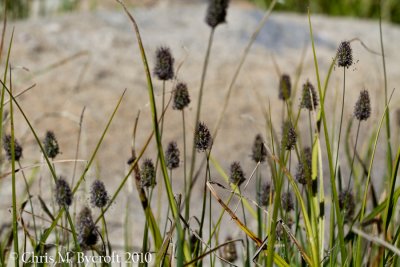 Sedges on margins of Lake Virginia |
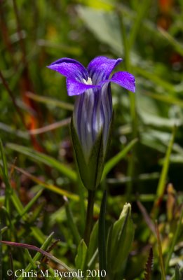 Sierra gentian |
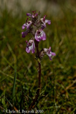 Little elephant's head flower |
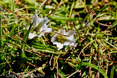 Alpine gentian - not the best photo, but I know what it is. |
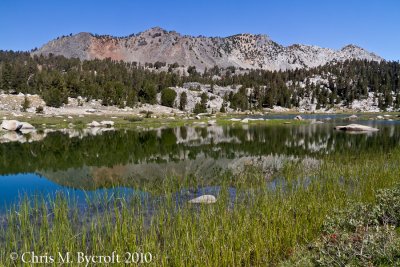 Small lakelet to north of Lake Virginia |
 Lots of flowers in meadow, beside Lake Virginia, |
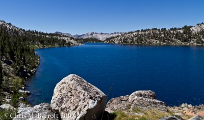
 Lake Virginia and mountains of the Silver Divide |
 Lake Virginia - different perspective |
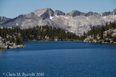 The mountains of the Silver Divide - Lake Virginia |
 A long way down and lots of switchbacks to Tully Hole |
 View from switchbacks to Tully Hole - mountains of the Silver Divide and Tully Hole. |
 Track down to Tully Hole. Sagebrush vegeation between scattered pines. |
 Fish Creek crossing - the low altitude point of the day (9090 feet) |
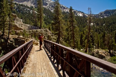 Roy and bridge over Fish Creek |
 View back while heading up to Silver Pass, Mt Ritter to the right of Ritter Range on skyline. |
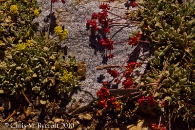 Frosted buckwheat flowers (yellow) and seeds (red) |
 Frosted buckwheat flowers (yellow) and seeds (red) |
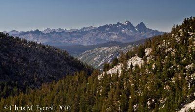 View back to The Minarets, Mt Ritter, and Banner Peak of the Ritter Range from near Squaw Lake |
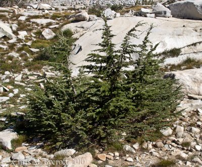 Mountain hemlock |
 Squaw Lake, Silver Pass behind. Scattered whitebark pines are present. |
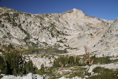 Squaw Lake, on way to Silver Pass |
 Alpine paintbrush |
 Towards Warrior Lake from Silver Pass |
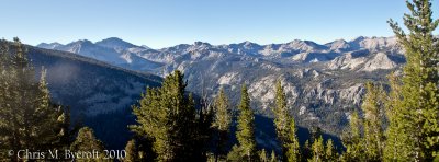
Panorama of four photos to the south from Silver Pass |
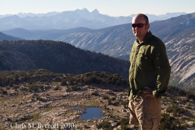 Me at Silver Pass, Mt Ritter and Banner Peak behind. |
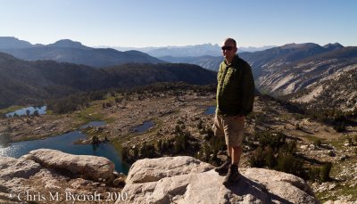 wider view, includes Cheif Lake to the left |
 View south from Silver Divide, Seven Gables is the peak to the left. |
 A zoomed in photos towards the Seven Gables |
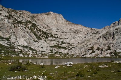
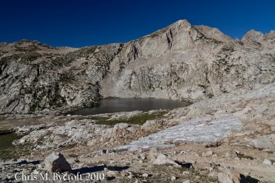
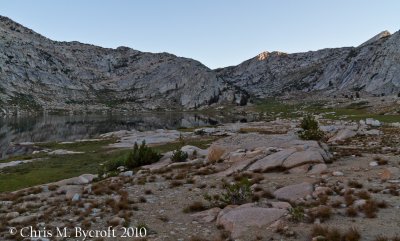 Day 10: Silver Pass Lake, near our campsite. Silver Pass on skyline. |
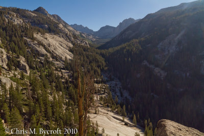 View up North Fork of Mono Creek. Here the track decended a steeply amongst switchbacks on granite faces. |
 Jeffrey Pine, near North Fork of Mono Creek |
 More forest, less scenery ahead |
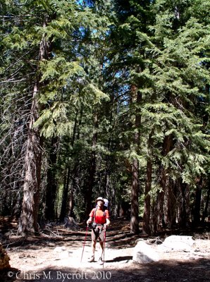 Roy, white fir forest |
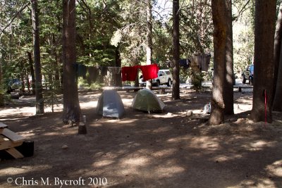 Day 11: Rest day at Vemilion Valley Resort. Our tent site. |
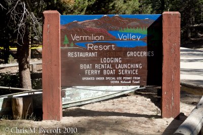 Vermilion Valley Resort |
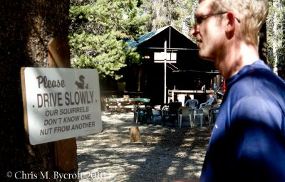 Roy and road sign |
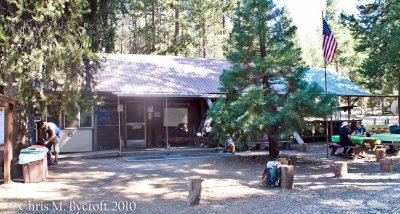 VVR (Vermilion Valley Resort store and restaurant. |
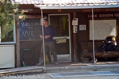 Roy and VVR store |
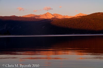 Sunset over Lake Thomas Edison |
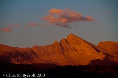 Sunset from VVR, mountain to east of Lake Thomas Edison |
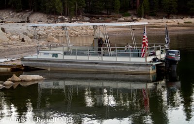 VVR Lake Thomas Edison Ferry, We will be using this in the morning. |
| comment | share |