


|
|
|
|
|
|
| Dave Beedon | profile | all galleries >> Places >> Utah >> Moab (environs) >> Shafer Trail >> Shafer Trail: First Visit >> Industrial Landscape | tree view | thumbnails | slideshow |
 Moab Salt's property |
 Crossing a dry wash |
 Private road |
 Rusty railing, red rocks, and a road |
 Stain |
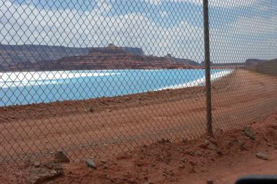 Fenced pond |
 Subaru, dwarfed by nature |
 Road crosses a salty streambed |
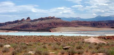 Panorama 1 |
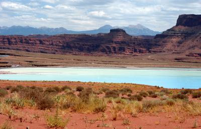 Panorama 2 |
 Panorama 3 |
 Pyramid Butte |
| comment | share |