


|
|
|
|
|
|
| Dave Beedon | profile | all galleries >> Places >> Utah >> Moab (environs) >> Poison Spider Mesa: Loop Through the Fins | tree view | thumbnails | slideshow | map |
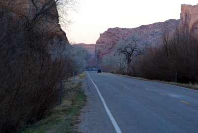
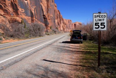 Rental car parked across from the fin canyon |
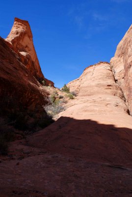
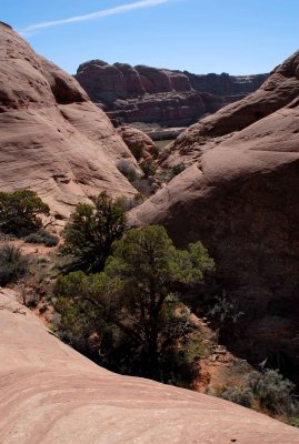
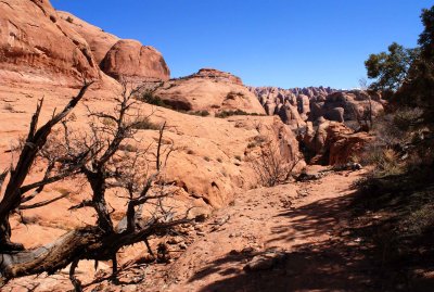
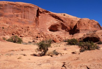
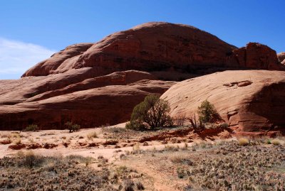
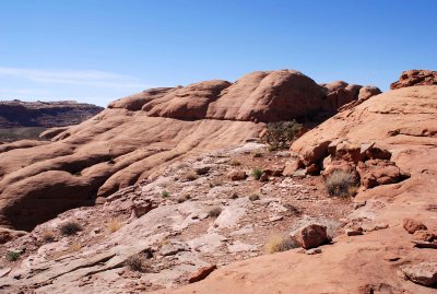
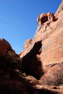
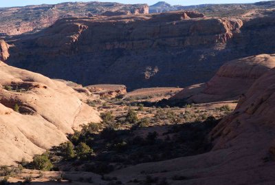
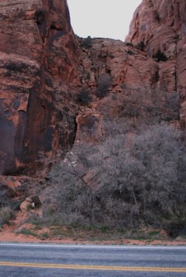
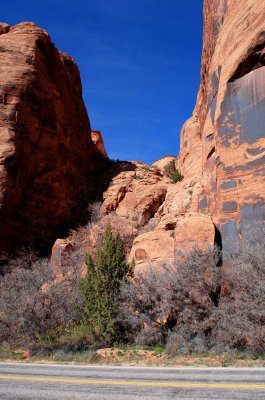 Canyon as seen from the road |
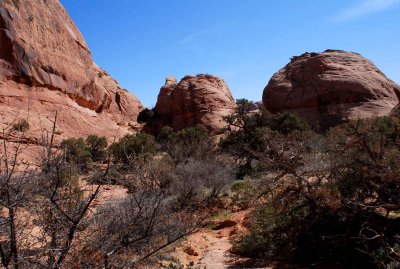
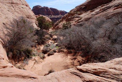
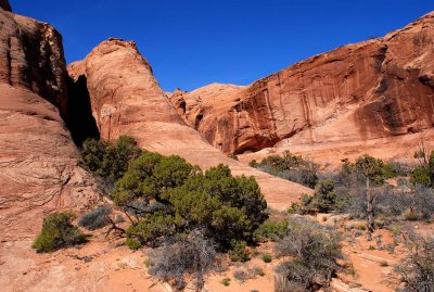
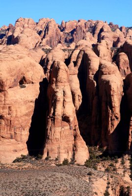
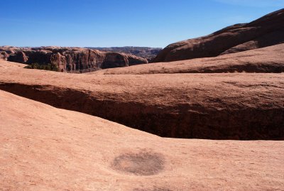
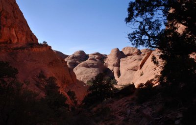
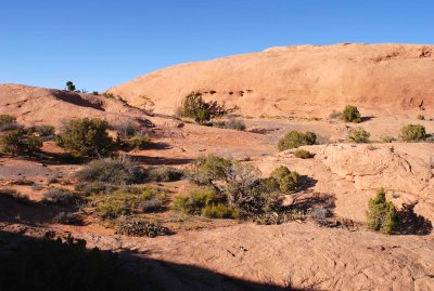
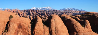
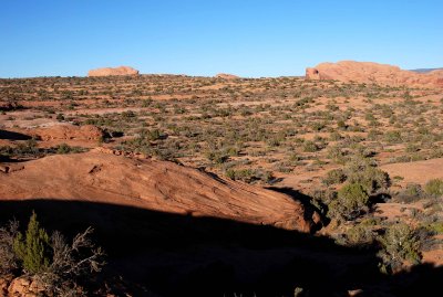
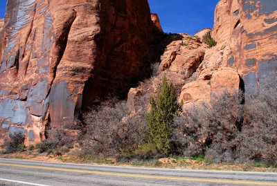 Wide view of the canyon |
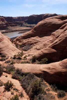
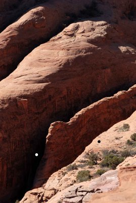
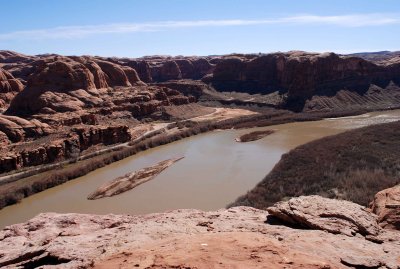
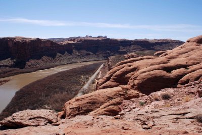
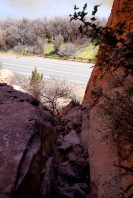 Looking down the route I just came up: below are Potash Road and the Colorado River |
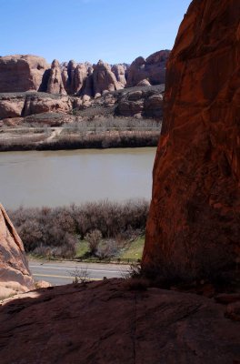 Potash Road, Colorado River, Kane Creek Road, Behind the Rocks |
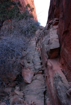
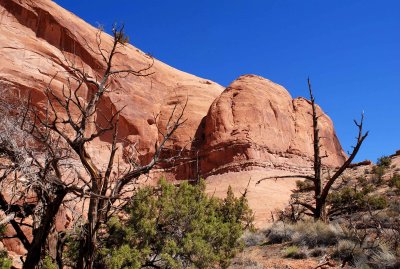
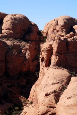
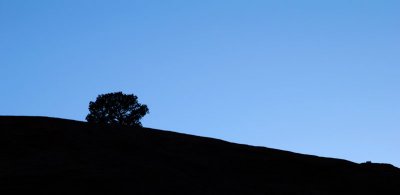
 The route above looks easy, but what lies beyond the high point above the tree? |
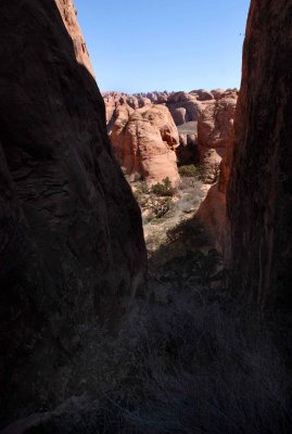
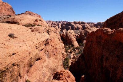
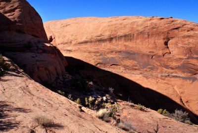
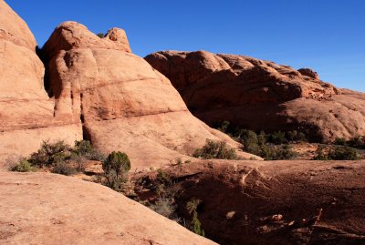
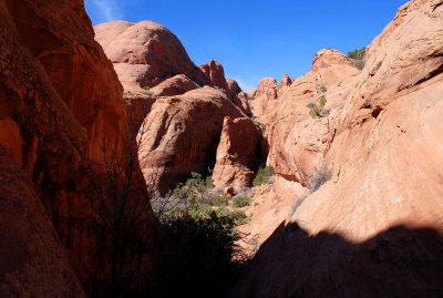 View from the notch: a garden and more fins |
 Fin behind the garden, close-up |
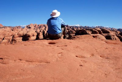
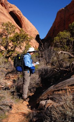
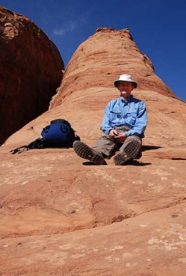 Fin Boy takes a break on the toe of a fin; Joe Tripod (not visible) just stands there |
 Looking back at the notch (at left) from the garden |
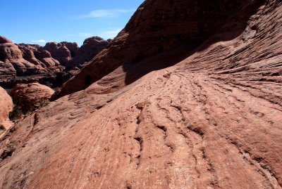
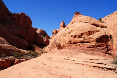
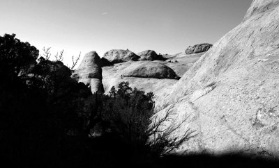
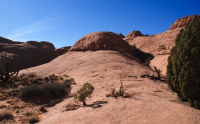
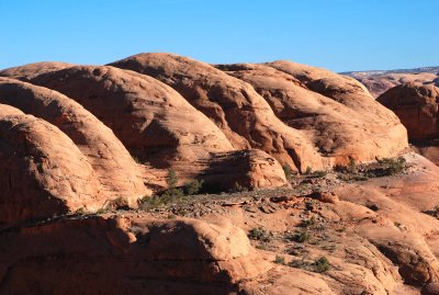
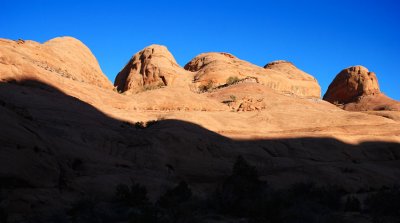
 Undulations |
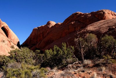
 Vegetated curves |
 Vegetated curves from another angle (lip at bottom is a pour-off) |
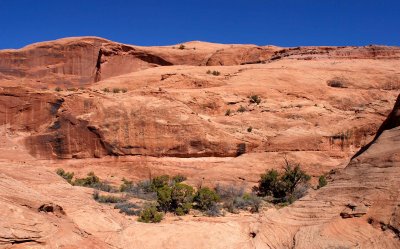
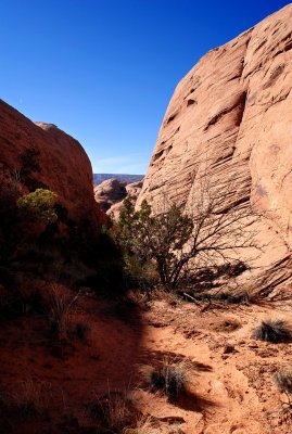
 Fin and flora |
 Closing in from both sides |
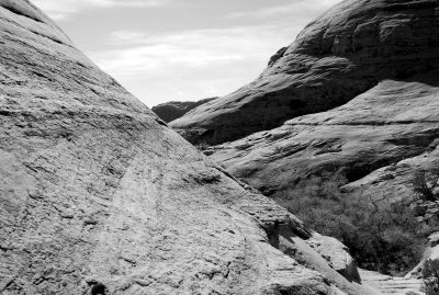
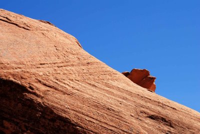
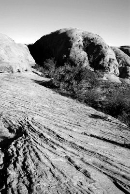
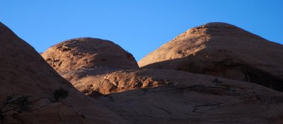
 Slope and layers |
 Fin of self-portrait and precipice of self-portrait |
 Holy fin---my answer to Bob Cooper's picture from Australia |
 Layer cake |
 Garden's entrance and exit |
 This brushy corridor was the garden exit route (note the juniper "berries" at upper left) |
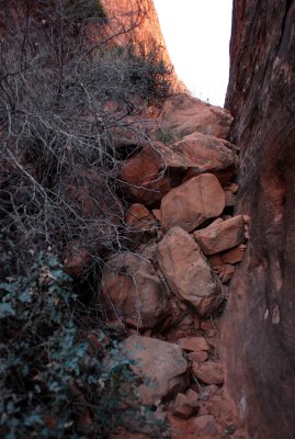
 I came up this brushy corridor |
 Where I'm going: rocky corridor |
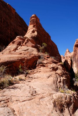
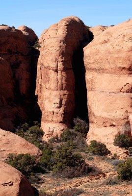
 Fin in a "V" |
 What's over there? |
 Split personality (shadow falls on two fins) |
 Another view of the terrain that calls |
 Ramp leads to additional delights |
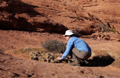
 Ramp vegetation: juniper and cacti |
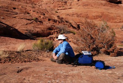
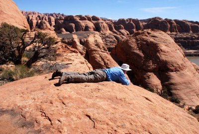 Desire to see + fear of heights = prone position at precipice |
 View from precipice: location of Fin Boy self-portrait |
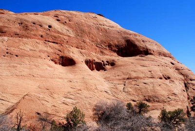
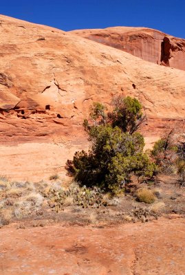
 Cave and garden |
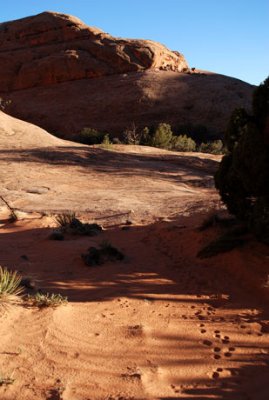
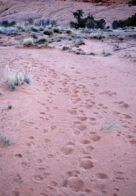
 My tracks, someone else's faint tracks, animal tracks |
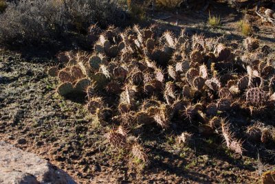
 Fins and cacti |
 Fabulous, fascinating, framed fin |
 Looking west at garden #2, taken while ascending to the top of a fin |
 Dots show where I was earlier (white = route between fins; black = fear of heights) |
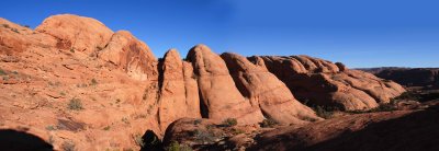
Fin pano in one image (180-degree view) |
 Fin pano (1 of 6) |
 Fin pano (2 of 6) |
 Fin pano (3 of 6) |
 Fin pano (4 of 6) |
 Fin pano (5 of 6) |
 Fin pano (6 of 6) |
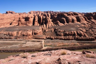
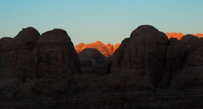
 From atop a huge fin I gaze at other fins ("Behind the Rocks") |
 Closer view of Behind the Rocks from the west side of the Colorado River |
 Route through cryptobiotic soil wasn't always on sandstone bedrock |
 Peek-a-boo! |
 End of a fin that looks like a skinny tropical fish |
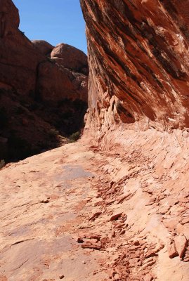
 Route ahead is in the deep shadow between fins |
 I got worn out trying to create a title for this |
 Frozen wave |
 Desert bum in a one-person line-up to identify an ice cream extortionist |
 Forward, into the shadow! |
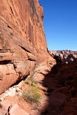 Shadowy hiking route at the base of a wall |
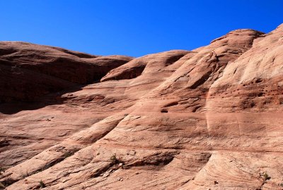
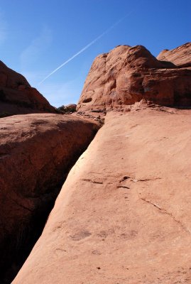
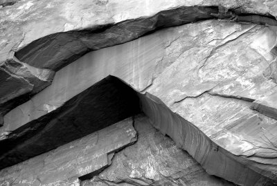 Fractures |
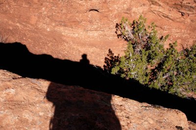
 Silhouette against a sandstone fin colored by desert varnish |
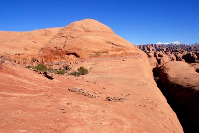
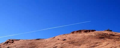
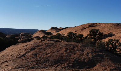
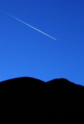
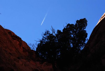 Two fins, a bush, and a plane |
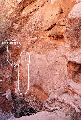 Tiny hand/foot holds chisled in the sandstone wall enabled further progress |
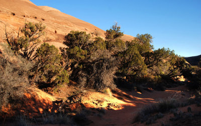
 Bench route to garden #3 |
Garden panorama |
 Delightful garden with naked sandstone beyond |
 Dark gap prevents further progress (see next photo) |
 The dark Maw of Terror |
 The Maw of Terror, looking the other way |
 Path through the garden's cryptobiotic soil |
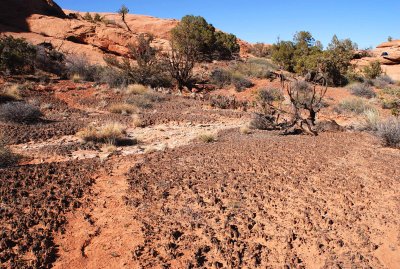
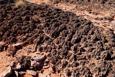 Cryptobiotic soil---some of it is 3 inches (7.5cm) tall |
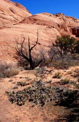
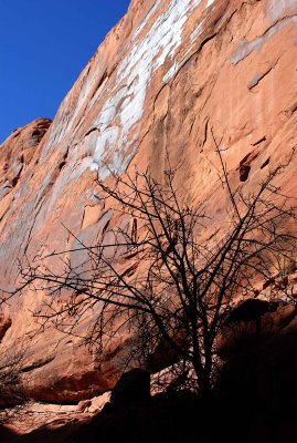
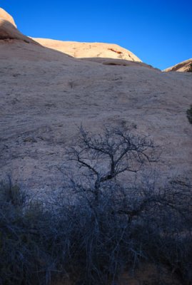
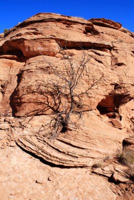 Scraggly tree |
 Access bench in shadow |
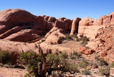
 Looking ahead from a "pass" toward more fins and another garden |
 Surprise---more fins! |
 Odd shapes and yet another plane |
 Getting oriented again |
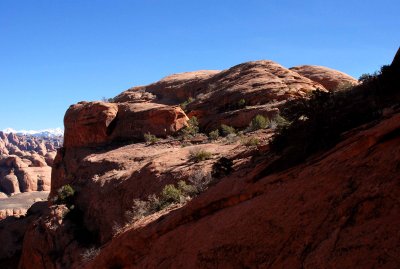
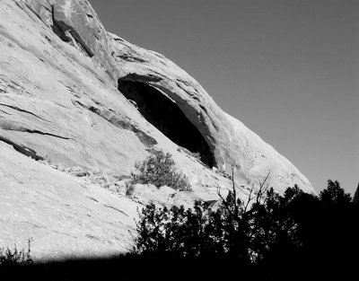 Unnamed arch |
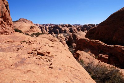
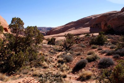
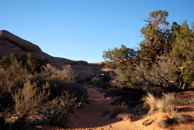
 Pleasing hiking terrain |
 Route I have just come through to reach garden #4 |
 One straight line |
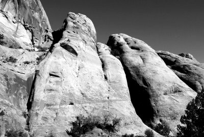 Giants |
 Laid back |
 Attempting to achieve Oneness via a new path |
 Falling back to re-group |
 Wall of fins with a messy sky |
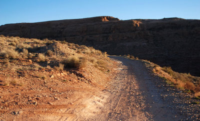
 Poison Spider Mesa Trail (purplish rock) |
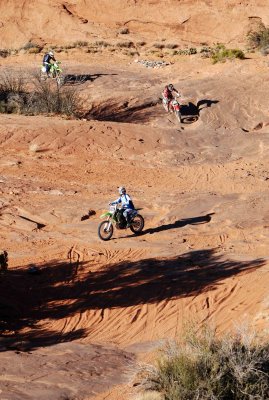 Three bikers heading back to the trailhead parking lot |
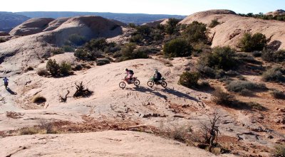 Bikers on rock (the leader is at far left) |
 Riding into the sun |
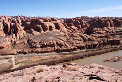
 Fins, fins, and more fins (taken from near the Poison Spider Mesa Trail) |
 This terrain calls to me, so I must explore it |
 The way out of the fins is through this garden to the trail (trail is visible at center) |
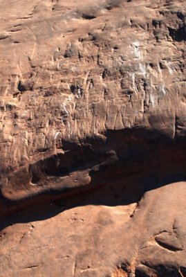
 Texture |
 Looking north from atop a fin at the boring mesa |
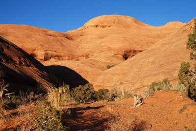
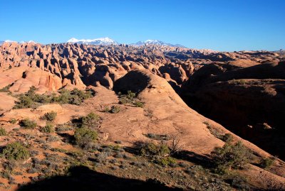 Fin City! |
 Meeting in the sky |
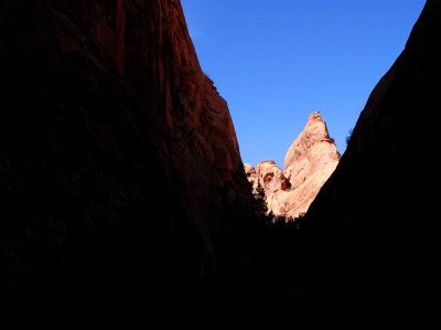
 Mysterious silhouette |
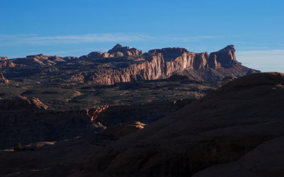 Distant mesa |
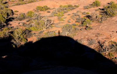
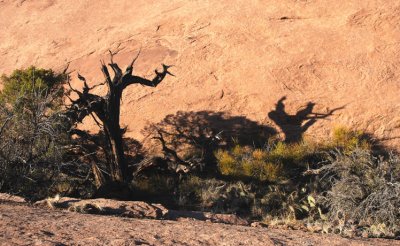 Gnarled shadow |
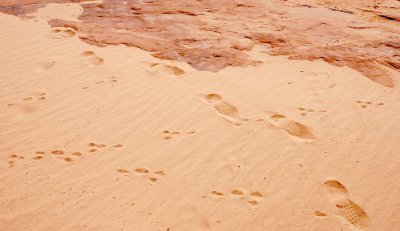
 Take only pictures...leave only footprints (or vehicle gouges) |
 Route in garden #4 to the lower part of the trail |
 No straight lines (original size looks best) |
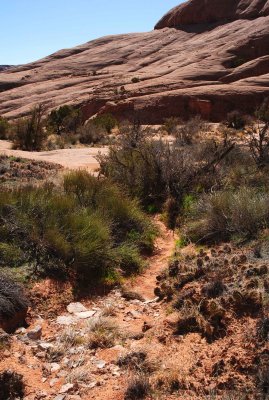
 Hiking out on sand and bedrock |
 Looking back at my exit route through the garden |
 Others have preceded me |
 Don't touch the foreground (it's fragile); don't touch the background (you're fragile) |
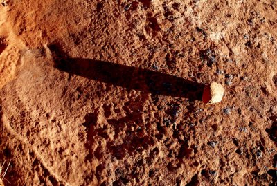 Seven-inch shadow at 1700 |
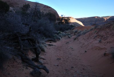
 Following a wash along the base of the fins |
 Deep shade |
 Skyline bush |
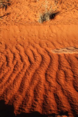 Wrinkles in the wash---get out the iron and start pressing! |
 Humps |
 White line |
 Shadow |
 More topography to explore |
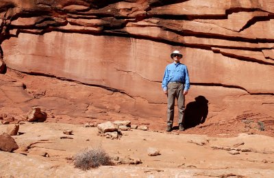
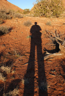
 Late afternoon self-portrait among the fins |
 Poison Spider Mesa Trail---with no one else present |
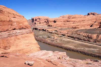
 Looking across the Colorado River from the Poison Spider Mesa Trail at Behind The Rocks |
 Walking along Potash Road to where I started the hike |
 End of hike at my starting point, after hiking for 8.5 hours and shooting 1600 (bracketed) exposures |
| comment | share |
| Ali Majdfar | 25-Jun-2007 13:17 | |
| Guest | 25-Jun-2007 08:26 | |
| exzim | 20-Jun-2007 21:07 | |
| Guest | 09-Jun-2007 23:47 | |
| Guest | 24-May-2007 23:08 | |
| Monte Dodge | 22-May-2007 17:54 | |
| Guest | 01-Apr-2007 01:22 | |