


|
|
|
|
|
|
| Dave Beedon | profile | all galleries >> Places >> Utah >> Moab (environs) >> Potash Area >> Potash | tree view | thumbnails | slideshow | map |
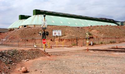 Grade crossing |
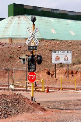 Signs |
 Hoppers |
 Ladder |
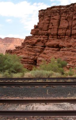 Rocks and rails |
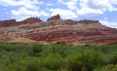
 Jackson Butte |
 Tilted strata |
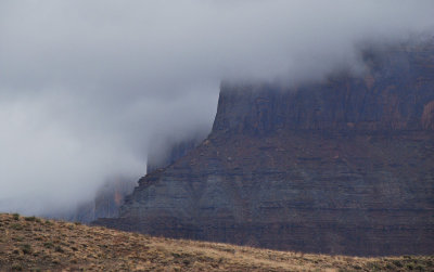 20090523_4369...Foggy cliff |
| comment | share |