


|
|
|
|
|
|
| Dave Beedon | profile | all galleries >> Places >> Utah >> Moab (environs) >> Potash Area >> Highway 191 and Potash Road (Highway 279) | tree view | thumbnails | slideshow |
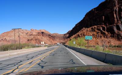 Heading north across the Colorado River just north of Moab |
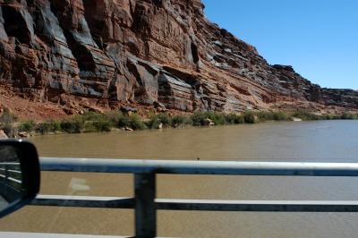 Colorado River, looking upstream (to the east) |
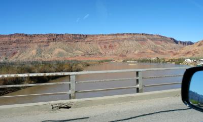 Colorado River, looking downstream (to the west) |
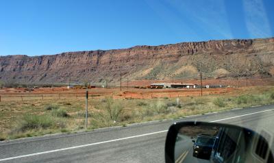 Buildings at site of former uranium processing plant |
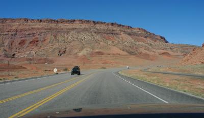 A Jeepster approaches! |
 Covered uranium tailings |
 Evidence of flowing water |
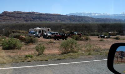 Not all the Jeep Safari enthusiasts stayed in motels |
 The Portal (Colorado River at left) |
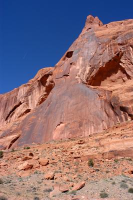 Plain airplane and terrain that is anything but plain |
 Goofy sign |
 Climbers at practice |
 Local color (looking upstream) |
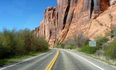
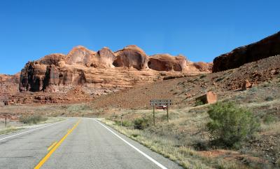
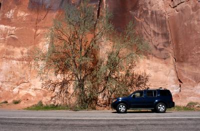 Photo stop at a vast expanse of sandstone |
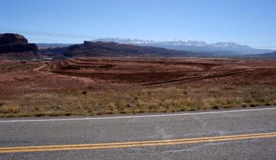
 Seemingly "empty" campground |
 Evidence of Jeep Safari at Poison Spider Mesa Road |
 Transportation or recreation? |
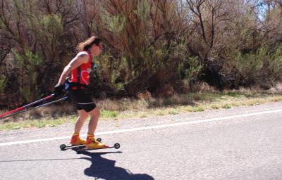
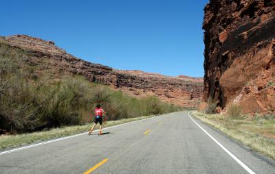 An exerciser exercising caution |
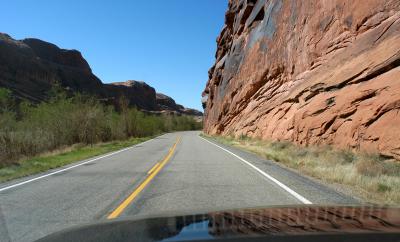
 Weird sandstone above the river |
 Approaching Corona Arch and the rail line |
 Gold Bar Recreation Site |
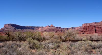
 Just another view of the rock across the river |
 Rotated image |
 Railroad meets road |
 No rapids here |
 Looking back at the opening of Day Canyon |
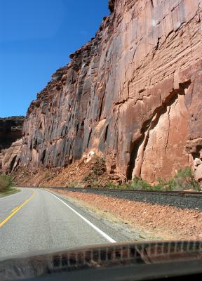 Stained wall not the fault of the railroad |
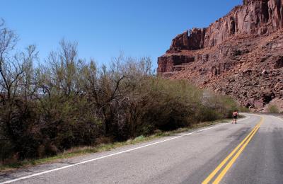 Here he is again! |
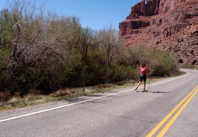 Closer... |
 Mystery solved... |
 Artsy shot |
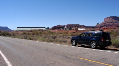 Mining facility of Intrepid Potash |
No panorama, just a severely cropped image |
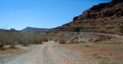
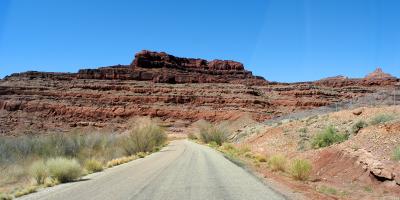 Between the two curves |
 Boat ramp straight ahead; Shafer Trail goes up the hill |
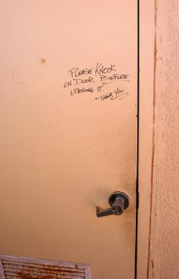 A defective lock prompted this message on the outhouse door at boat ramp |
| comment | share |
| 1moremile | 09-May-2006 22:22 | |