


|
|
|
|
|
|
| Dave Beedon | profile | all galleries >> Places >> Utah >> Moab (environs) >> Jackson Butte >> Jackson Butte via Amasa Back Trail >> Jackson Butte, Part 2: The Butte | tree view | thumbnails | slideshow | map |
 East wall of Jackson Hole, about 400 feet (130m) tall |
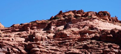 Below each white dot is a mountain biker on the Amasa Back Trail |
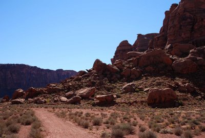 Trails in Jackson Hole (Jackson Butte at right) |
 Average height of vegetation is about one foot (30cm) |
 Getting closer to the boulders of the butte... |
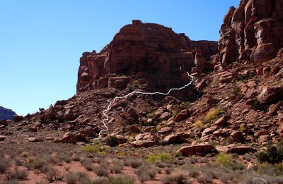
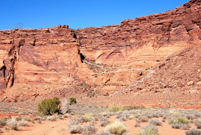 The white line shows the route of the trail called Jackson's Ladder |
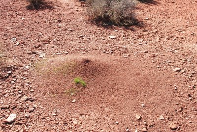 Ant hill (one of very few signs of animal life I saw) |
 Straight ahead: my route into Jackson Butte |
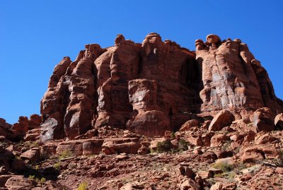 Part of the east face of Jackson Butte |
 From sun to shadow: terrain as a puzzle to be solved |
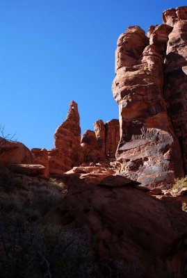 One fine fin |
 The Amasa Back Trail runs horizontally below the light band of rock near the top |
 View of Jackson Hole from near my turnaround spot |
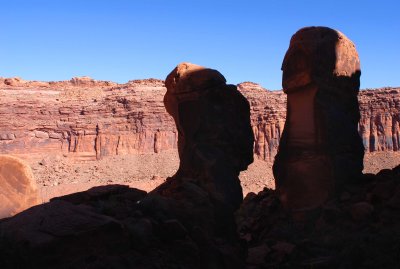
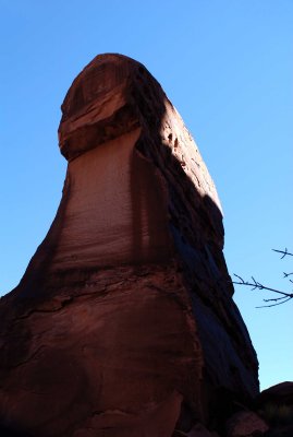 This finger is about 35 feet (10m) tall |
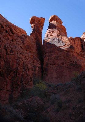 These towers teased me with a dead-end route; I had to go left and up instead |
 Evil towers? |
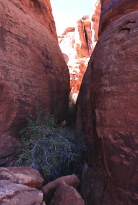 Is this the crux passage to the open spaces behind the towers? |
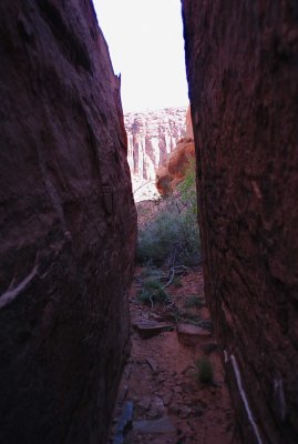 Looking out at Jackson Hole from the passageway |
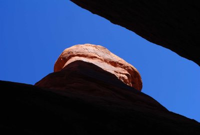 Looking skyward from the passageway |
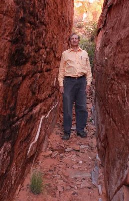 Corridor Boy, almost "up against the wall" |
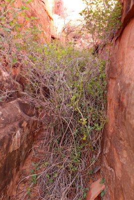 Squeezing past this bush on the left side will take me to the "inner sanctum" |
 Fin and sky as seen from the passageway |
| comment | share |