


|
|
|
|
|
|
| |
| 3 Jul 2004 | Dave Beedon |
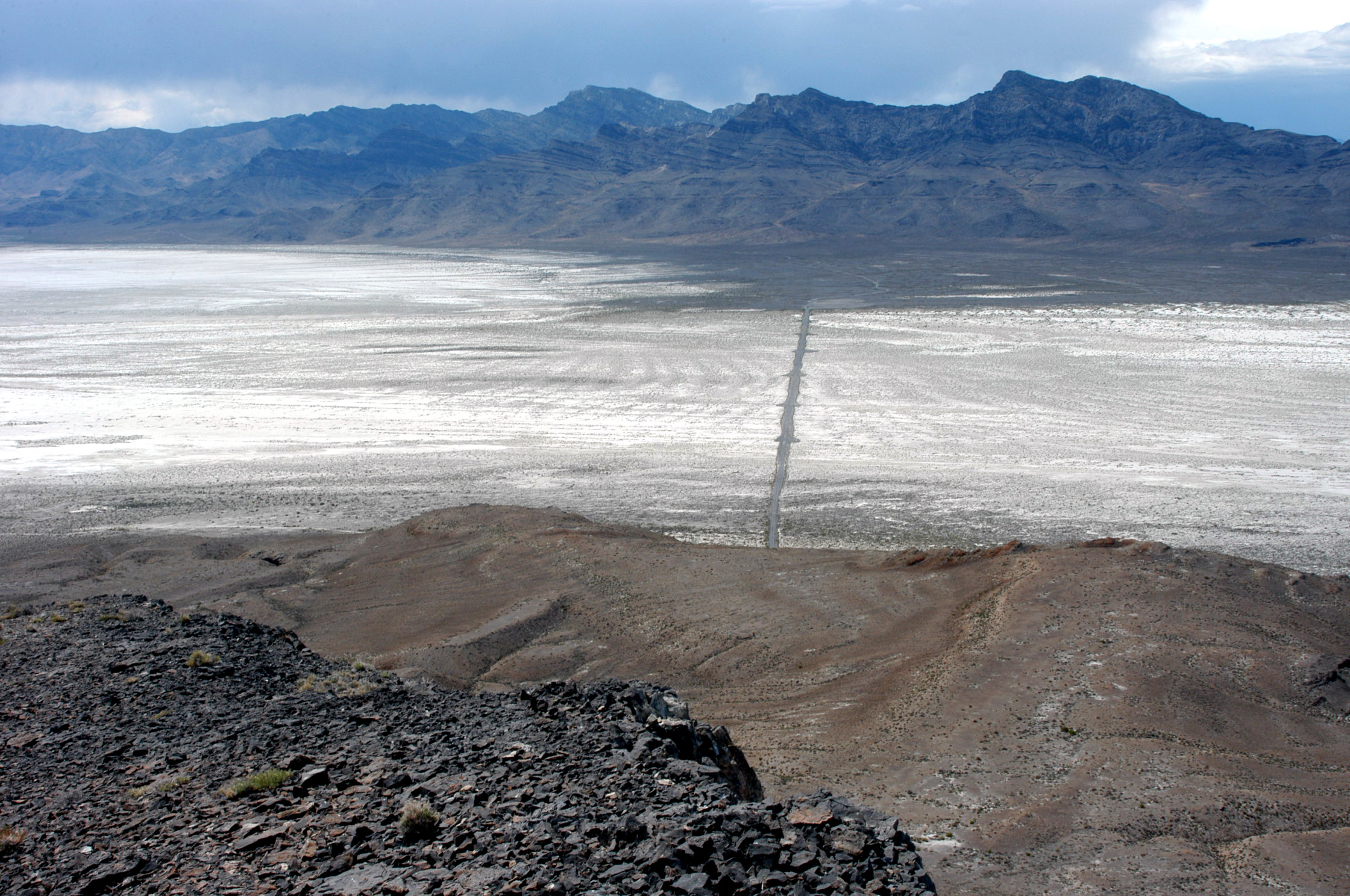
The straight line in the middle of the picture is a causeway for the gravel road that
connects Floating Island to the Silver Island Backcountry Byway. The causeway and the
road do NOT appear on most maps, including the topographic map of this area: USGS
Floating Island (1:24,000). The little blips on both edges of the causeway are
turn-outs that were built during the causeway's construction.
The ORIGINAL size reveals one of the shorelines of ancient Lake
Bonneville, running almost the full width of the photo.
The view in 2006: http://www.pbase.com/image/78523292 .
The causeway is at the center of this WikiMapia aerial photo:
http://www.wikimapia.org/#y=40924927&x=-113665237&z=13&l=0&m=a&v=2.
.
All images are copyright 1966 - 2023 by Dave Beedon (davebeedon AT comcast DOT net).