


|
|
|
|
|
|
| Jim Larkey | profile | all galleries >> Galleries >> Weminuche Wilderness, CO 2002 | tree view | thumbnails | slideshow |
In 1975, Congress combined the San Juan and Upper Rio Grande primitive areas into the Wilderness area. With an average elevation of 10,000 ft., it is the highest wilderness area in the nation. More than 80 miles of the Continental Divide passes through the Weminuche Wilderness.
Three of Colorado's 54 Fourteeners are located in the Wilderness: Mt. Eolis (14,083 ft), Sunlight Peak (14,059 ft), and Windom Peak (14,082 ft). In addition, there are 81 high mountain lakes.
| previous page | pages 1 2 3 4 5 6 7 ALL | next page |
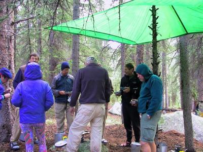
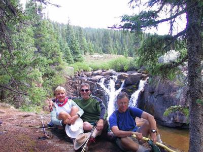
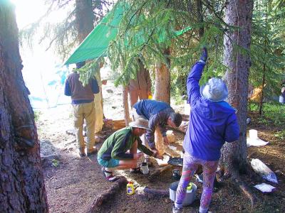
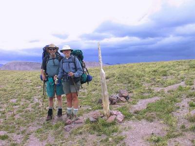
 The Gang..... |
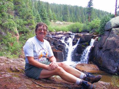
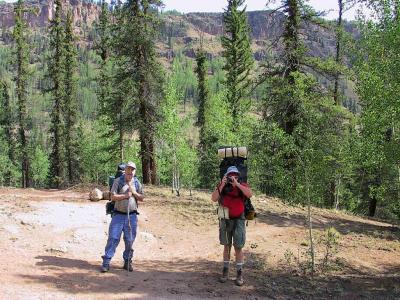 .......and Bruce on the left |
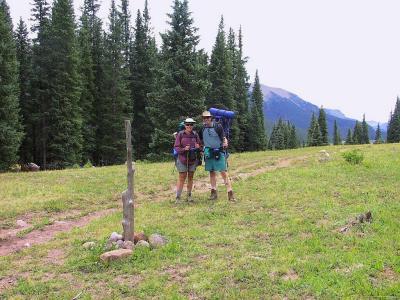
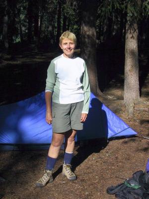
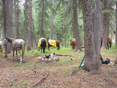
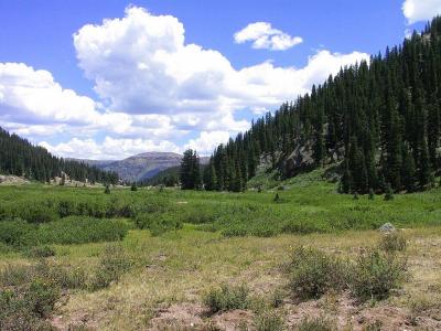
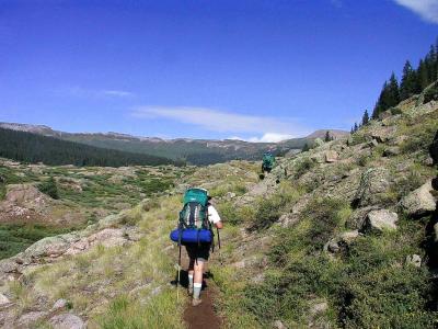
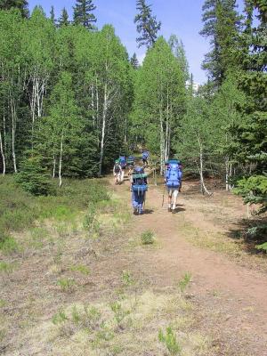 First Steps, Elev 9,400 ft. |
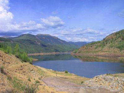 Rio Grande Reservoir, Headwater Of The Rio Grande |
 Img_2741.jpg |
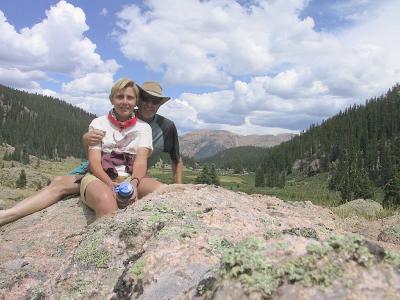
 Linda & Jim On The Continental Divide |
 Weminuche Pass (Elev 10,600 ft), On The Continental Divide |
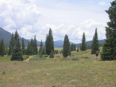
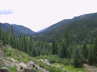
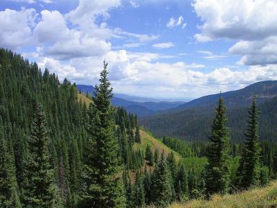
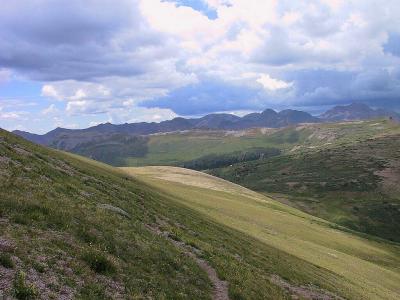
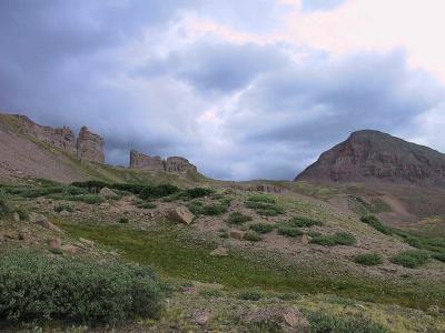
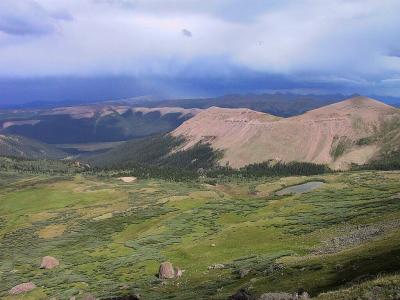
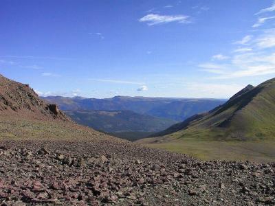
 Broad Glacier Valley |
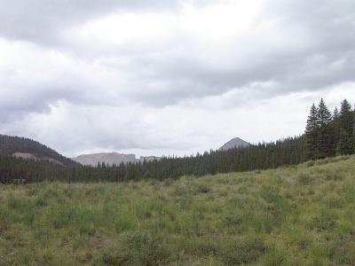
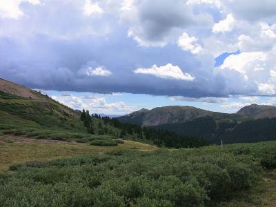
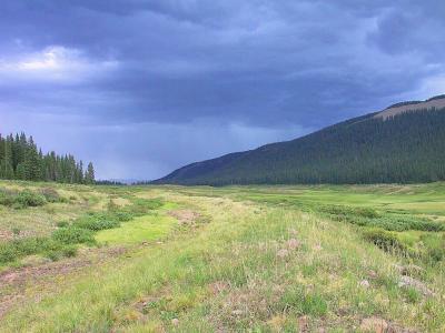 The Monsoon?? |
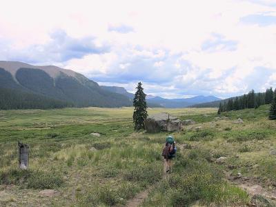
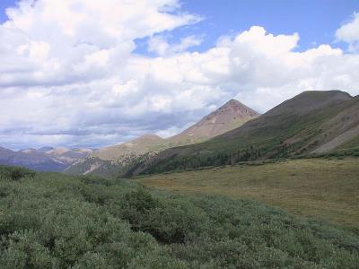
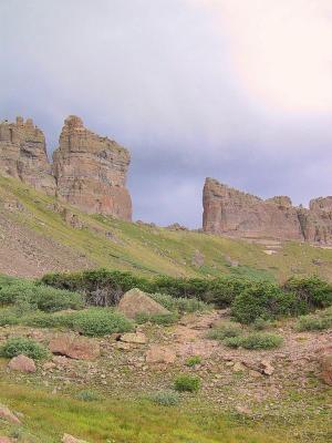
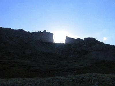
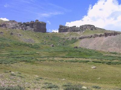
 Perspective: The "Window" & The "Pyramid" On The Horizon Line |
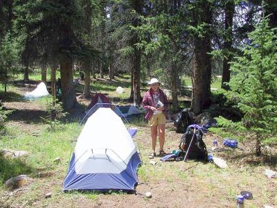
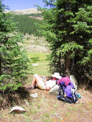
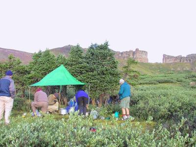
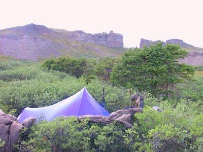
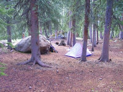 First Night's Camp, Monday |
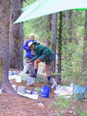
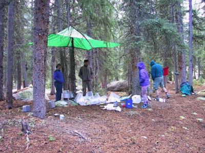 Dinner, In The Rain |
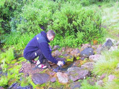 Filling Up, Mountain Spring Water (What is Giardia?) |
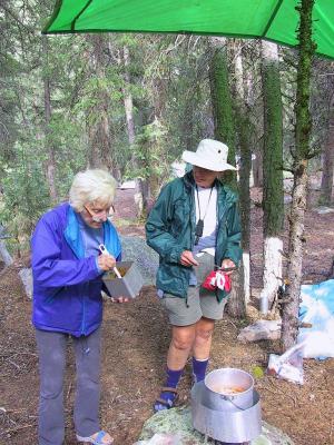
 Stand-up Breakfast |
 Linda, Early Tuesday Morning |
 "Wash Your Face in The Early Morning Sun" |
 Dick, Divining The Waters |
 Linda & Jim, A pause |
 And A Pause For Lee..... |
 Our Trail Partners |
 Img_2765.jpg |
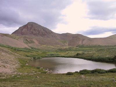
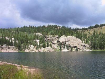 Granite Lake |
 Valley East of Granite Lake |
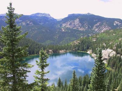 Granite Lake View, Elev 12,200 ft. |
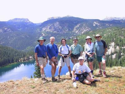 The Granite Lake Day Hike Gang |
 Linda & Bruce Breakfast Team, Bev Looking On (Can You Find Bruce??) |
 Bev & Linda |
 Img_2784.jpg |
 Img_2785.jpg |
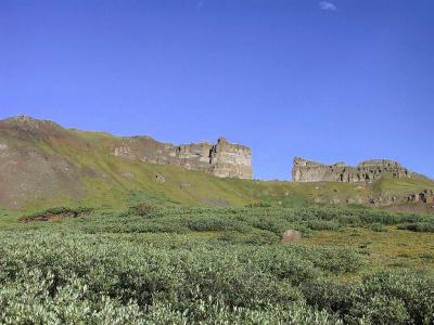
 Ricon La Osa |
 A Moment Of Solitude For Linda |
 Linda & Jim, Exploring Rincon La Osa |
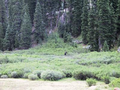 Bull Moose, Just Outside of Camp |
 Jim & Dale, Dinner Team |
 Linda Hiking Up The Rincon La Osa |
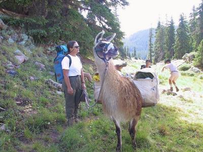 Fellow Hikers, Llama..."Look At Dale's Step Dancing, Behind Me" |
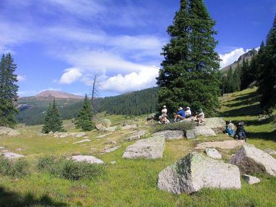 Break Time! |
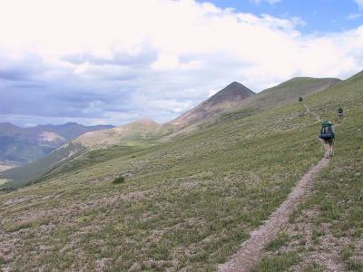
 On The Divide |
 Cloud-Play |
 Trail To The Window |
 On The Continental Divide |
 Jim & Linda On The Continental Divide, Elev 12,600 ft. |
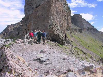
 First Glimpse Of The "Window" & "Pyramid" |
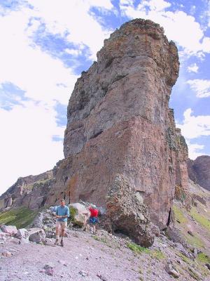
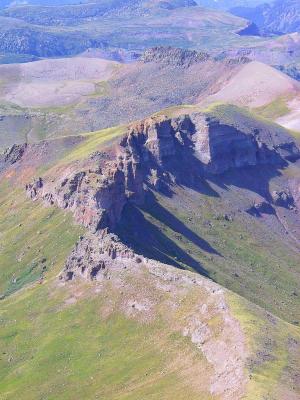
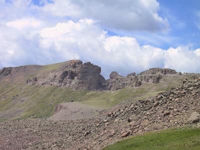
 The "Devil's Gateway" a.k.a The "Window" |
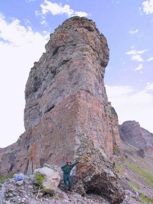
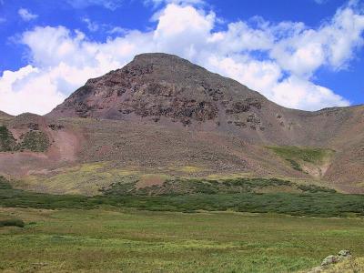
 The Rio Grande Pyramid |
 The Window Gang!!, Elev 12,857 ft. |
 Dale & Dick Exploring The Window |
 NW'ly View From The Window |
 The Needles On The Horizon |
 Img_2819.jpg |
 Jim In The Window |
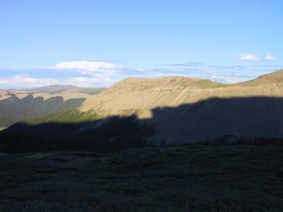 Shadow-Play |
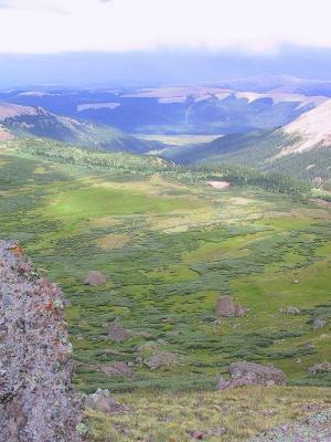 Ute Valley, From The Window |
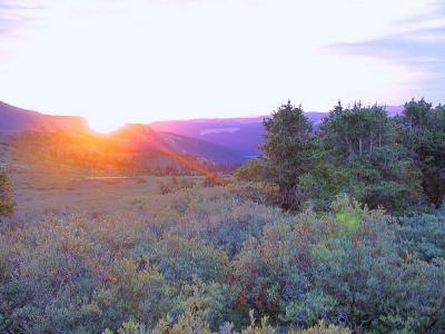
 Sunset |
 Morning, Breakfast |
 Blue Sky, The Window |
 Img_2834.jpg |
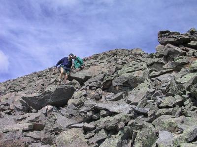
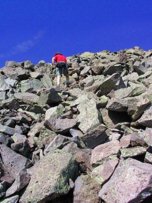 Dick Scrambling to The Top of The Pyramid |
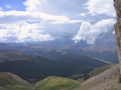
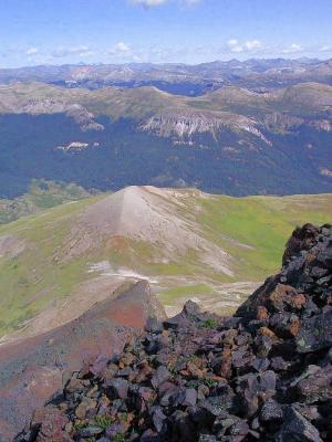
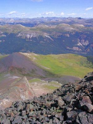
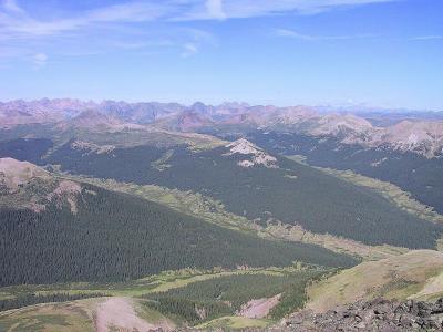 View From Pyramid |
 View From Pyramid |
 View From Pyramid |
 Img_2841.jpg |
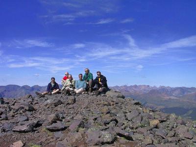 The Pyramid Gang; Dan, Dick, Dave, Dale, Lee ,Jim |
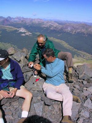 Registration Tube, Dale & Lee |
 Img_2846.jpg |
 Img_2847.jpg |
 Img_2848.jpg |
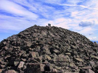
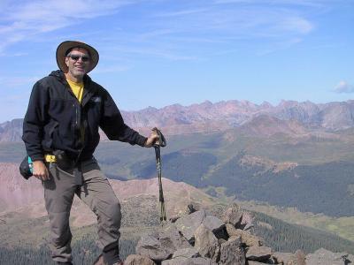 "King of the Hill!", The Pyramid, Elev 13,821 ft. |
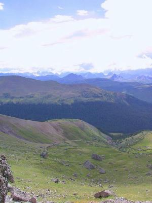
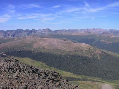
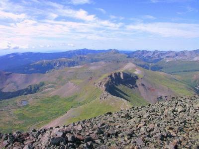
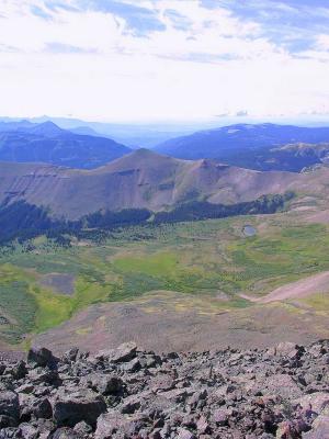
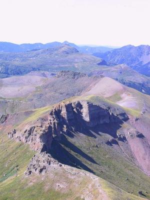
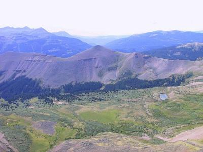
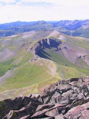
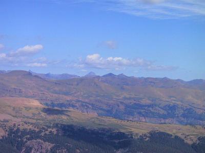
 Pyramid Views |
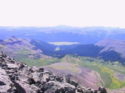
 Pyramid Views |
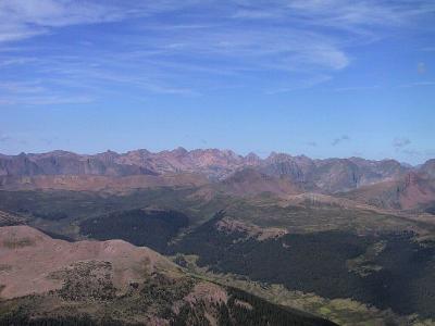
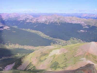 Pyramid Views |
 Pyramid Views |
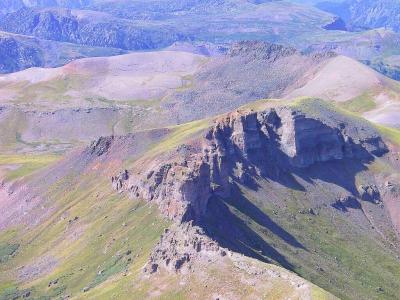 Pyramid Views |
 Pyramid Views |
 Pyramid Views |
 The Peak, The Pyramid, Elev 13,821 ft. |
 Uncompagre, From Pyramid ('98 Climb) |
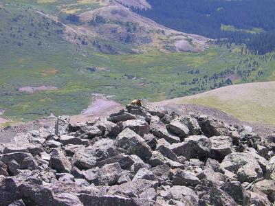 Marmot..."I'm King Of The Hill Here!" |
 Dan & Lee Scrambling Down The Pyramid |
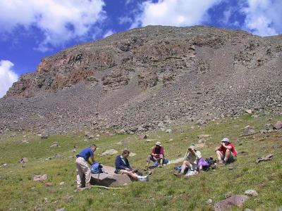 Lunch Break in The Hanging Meadow Below The Peak |
 Window, From The Pyramid |
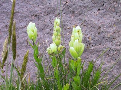 Flora In The Hanging Meadow |
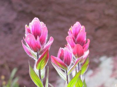 Flora In The Hanging Meadow |
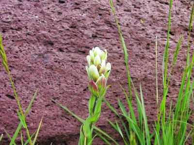 Flora In The Hanging Meadow |
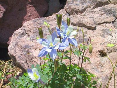 Columbine...CO State Flower |
 The Window |
 The Pyramid |
 Booked Two Nights, Above Treeline, Elev 12,400 ft. |
 Sunrise, Last Day on the Continental Divide |
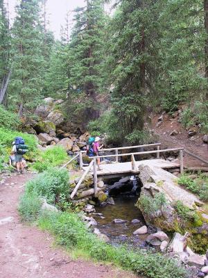
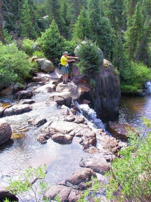
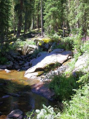
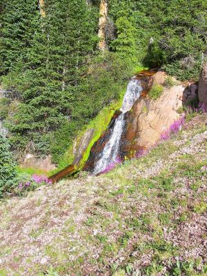 Waterfall, Along the Ricon La Vaca |
 Img_2883.jpg |
 Weminuche Pass, Looking North, Elev 13,600 ft. |
 Trailhead Exit.....Still Best Friends!!! |
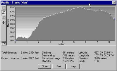 Mon profile stats |
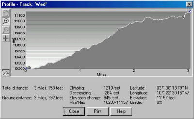 Wed profile stats |
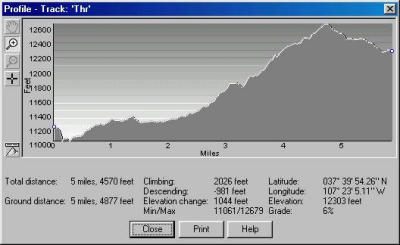 Thr profile stats |
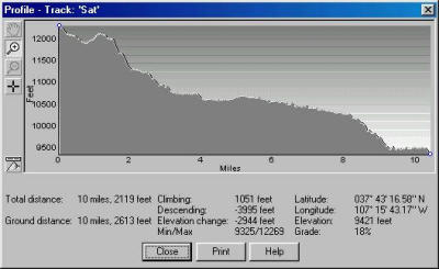 Sat profile stats |
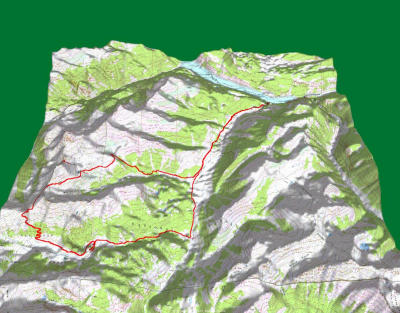
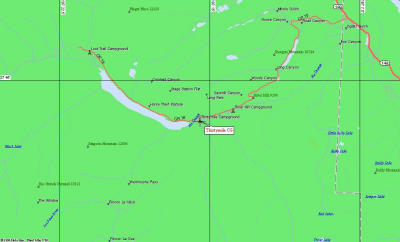
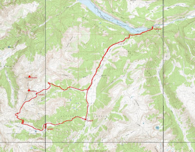 Overall Trip Route, 1:24000 |
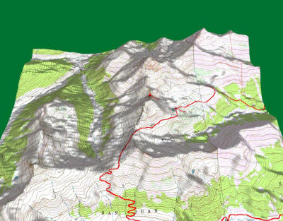
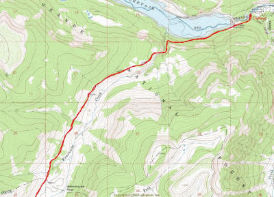 Weminuche Trail #523, Thirty Mile CG Trailhead |
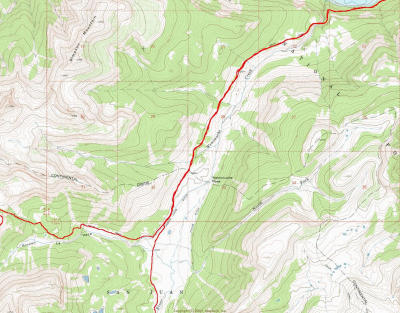 Continental Divide Trail (West), Weminuche Pass |
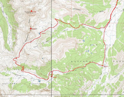 "The Window" Loop, La Vaca Trail (CDT) North, La Osa Trail South |
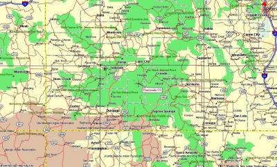
 The Big Picture, Weminuche Wilderness, 1:100000 scale |
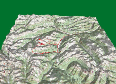
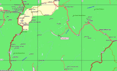
 Trip View, 1:24000 scale |
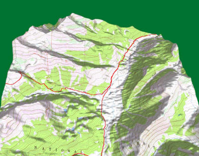 Weminuche Pass |
 "The Window" and, Rio Grande Pyramid (Elev 13,821) |
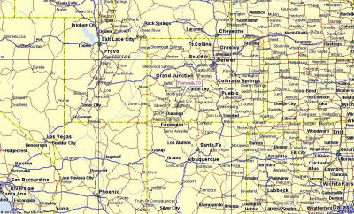 Trailhead, Thirtymile CG |
 Zoom |
 Zoom...Zoom |
 Zoom...Zoom...Zoom |
| previous page | pages 1 2 3 4 5 6 7 ALL | next page |
| comment | share |
| Jim Larkey | 21-Oct-2012 23:56 | |
| Roland Rangel | 18-Oct-2012 04:27 | |
| Guest | 28-Aug-2009 17:02 | |
| Dean Bell | 15-Dec-2007 06:31 | |
| Robert C Richmond | 20-Feb-2003 19:25 | |
| Jim Larkey | 28-Oct-2002 01:52 | |
| Guest | 26-Sep-2002 02:34 | |
| Jim Larkey | 07-Sep-2002 12:38 | |
| Al Ferry | 22-Aug-2002 16:12 | |
| Cory Somes | 10-Aug-2002 03:34 | |