


|
|
|
|
|
|
| Dave Banks | profile | all galleries >> Āplaces... >> ĀBlue Ridge Parkway... | tree view | thumbnails | slideshow |
The Blue Ridge Parkway starts in Virginia and runs along the crest of the Appalachian Mountains to the Great Smoky Mountains National Park at the North Carolina/Tennessee borderŚa glorious 469.1 mile "Appalachian Trail for cars".
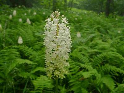
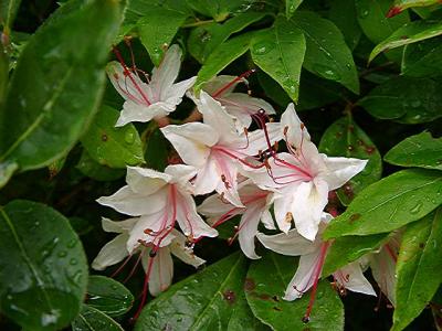
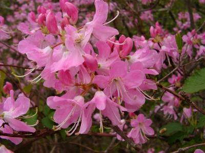
This tour shows the overlooks, tunnels and major signs, and some of the many plants, mostly in the sequence you would see them heading west. Each picture shows the milepost location, the side of the road (N = north/right, or S = south/left) and for many, the elevation (scroll down for an elevation chart).
Click a picture to enlarge it (and for the date it was taken, to see when the plants were in bloom*). Click your browser 'back' button to pick up where you left off in the small pictures.
Feel free to download any picture for non-commercial use, or email Bob Stelloh for high-resolution copies.
__________
* Click bloom times for a more complete list of plants and their general locations along the parkway, arranged by bloom time.
Click download for a large (1.2MB) map of the whole parkway, or click view to view a map of this part of it.
MP 346 to 393... |
MP 393 to 412... |
ĀMP 412 to 423... |

MP 423 to 443... |
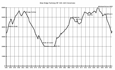 Parkway Topography |
| comment |
| Guest | 04-Dec-2005 20:30 | |
| Guest | 08-Mar-2003 02:42 | |
| Stew Lester | 19-Jul-2002 14:34 | |
| Bob and Freda Barry | 16-Jul-2002 19:07 | |
| Leon & Jean | 16-Jul-2002 01:52 | |
| Barry Sperling | 16-Jul-2002 00:36 | |
| Tom Hughes | 15-Jul-2002 19:38 | |
| Guest | 12-Jul-2002 23:41 | |