


|
|
|
|
|
|
| yogib | profile | all galleries >> boone_county_nebraska_plat_maps >> other_maps | tree view | thumbnails | slideshow |
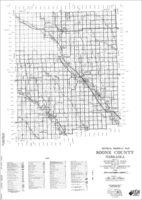 Other Maps - 1996 Boone County Roads with names |
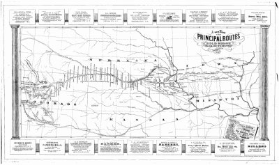 Other Maps - 1862 Gold Regions |
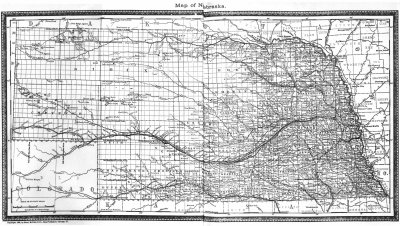
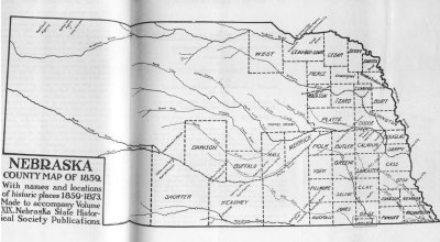 Other Maps - 1859 Nebraska |
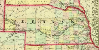 Other Maps - 1872 Nebraska |
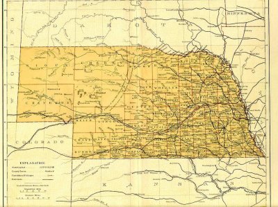
 Other Maps - 1882 Nebraska |
 Other Maps - 1884 Nebraska |
 Other Maps - 1895 Nebraska with railroads |
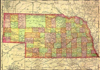
 Other Maps - 1899 Nebraska |
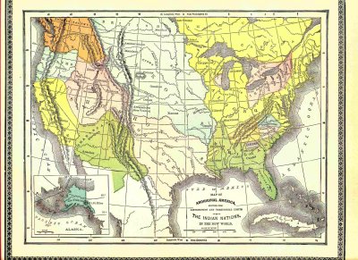 Other Maps - 1899 Indian Nations |
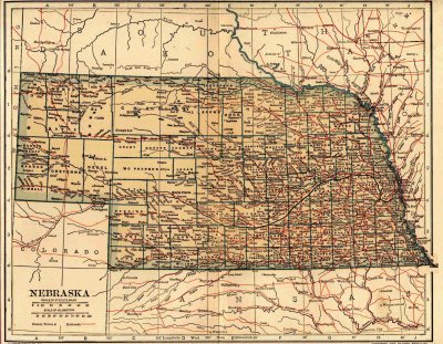
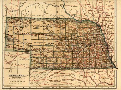 Other Maps - 1908 Nebraska |
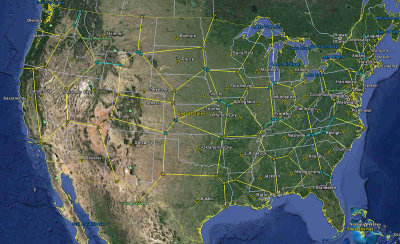
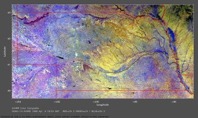 1996 Nebraska Composite Satellite Image |
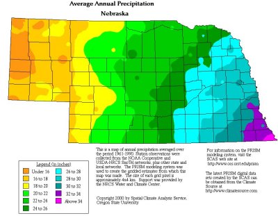 Average Annual Precipitation - Nebraska |
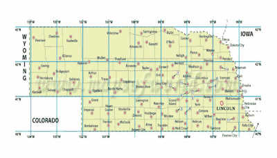
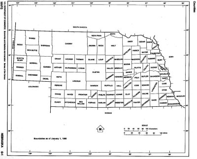 Nebraska Counties today |
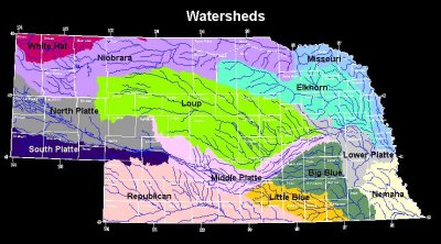 Other Maps - Nebraska Watersheds |
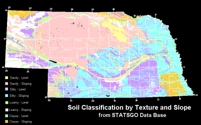 Soil Classification by Texture and Slope |
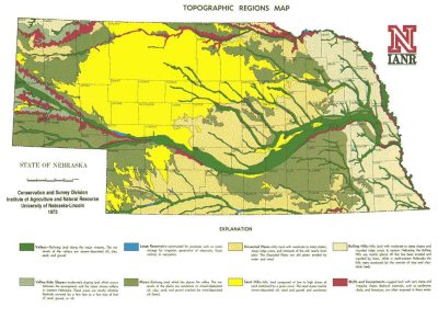 Topographic-regions-map-of-Nebraska |
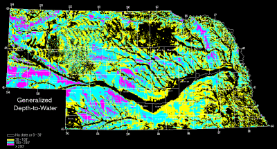 Depth to Water Table |
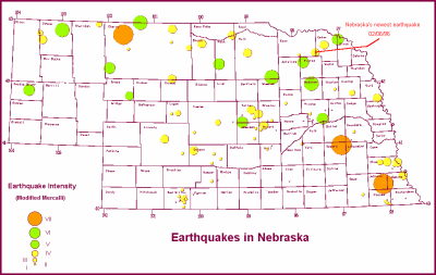 Earthquakes in Nebraska |
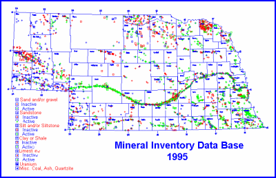 Mineral Locations by Classification |
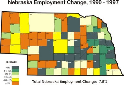 Nebraska Employment Change 1990 - 1997 |
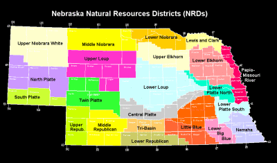 Nebraska Natural Resources Districts NRDs |
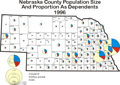 Population Change by Age by County 1996 |
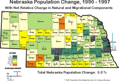 Population Change by County 1990 - 1997 |
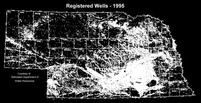 Registered Water Wells - 1995 |
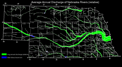 Relative Discharges of Nebraska Rivers |
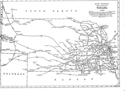 Nebraska Railroads 1948 |
 New State Boundaries |
 Nebraska Regions |
| comment |