


|
|
|
|
|
|
| vamidlandrr | profile | all galleries >> PF&P narrow gauge/ Virginia Central RR Today: The abandon railroad grade from Fredericksburg, VA to Orange, VA >> Spotsylvania County | tree view | thumbnails | slideshow |
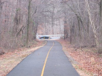 VC bike trail looking east at Salem Church Road. |
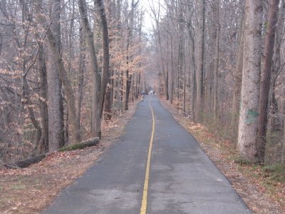 VC bike trail looking west toward Harrison Road. The trail can be accessed behind the Landfill. |
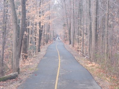 Zoom in on the trail looking west. The grade is impressive. |
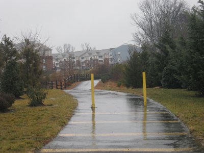
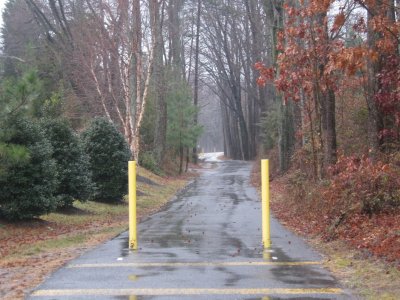 The end on the paved VC bike trail at Gordon Road. Looking west. |
 Looking east toward Harrison Road. This section is in a neighborhood off of Gordon Road. |
 Looking east from Chancellor Rd. There is a concrete pad to the left of this crossing. |
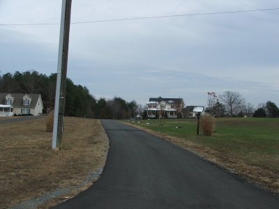
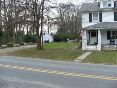 Looking west from Chancellor Road. This house might have been built after the railroad. |
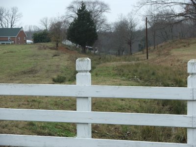
 Looking west behind the Raintree subdivision off of Old Plank Rd. |
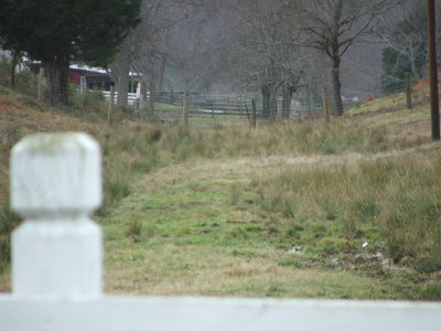
 Looking east behind the Raintree subdivision off of Old Plank Rd in Spotsylvania County. |
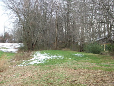
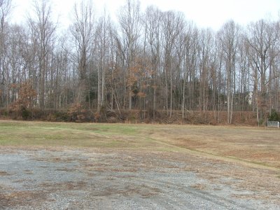
 The railroad grade still stands out in the backyards near the Raintree subdivision. |
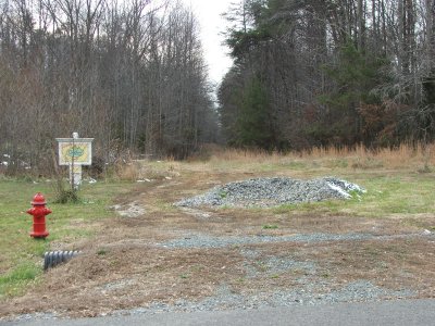
 Looking west between the Raintree & Stonewall Estates subdivisions off of Old Plank Rd. |
 Looking east from Catharpin Rd. The tracks would have ran down the driveway and to the left of the house. |
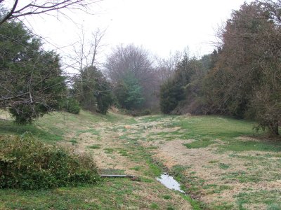
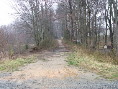
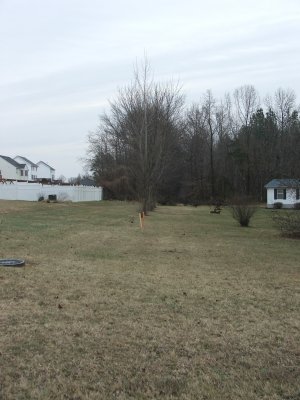
 Looking west from Catharpin Rd. The grade runs downhill beside the farm into the Sawhill subdivison. |
 A closeup looking west from Catharpin Rd. |
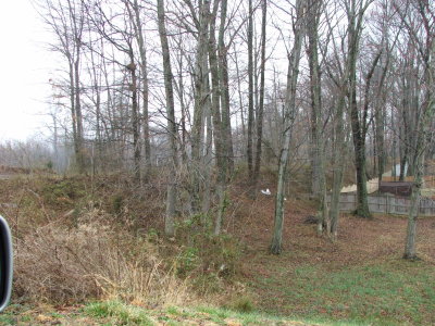
 Grade is still visible in the Sawhill subdivision. |
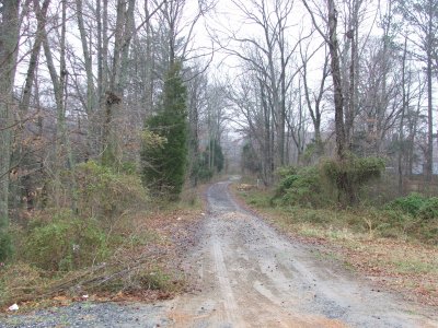
 The railroad grade looking west into the Chancellorville battelfield in the Sawhill subdivision off of Catharpin Rd |
 The railroad grade looking east is in good condition in the Sawhill subdivision off of Catharpin Rd. |
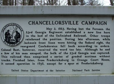 A Civil War marker in Chancellorsville battlefield signifying the importance RR grade |
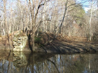
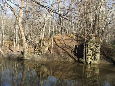 Stone bridge that carried railroad across a river. West of Jackson trail east. |
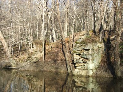 Another view of the stone abruptment. |
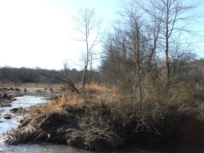
 The railroad grade continues east across the small river |
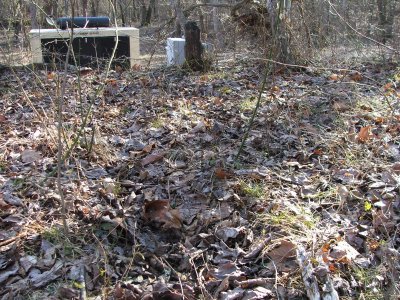 Ties that have rotted over the years can be seen in the roadbed. |
 Looking west from the bridge abruptment towards Jackson's Trail east. |
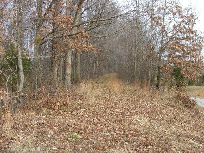
 The grade looking west from the sign. Brockroad is about 2 miles away. |
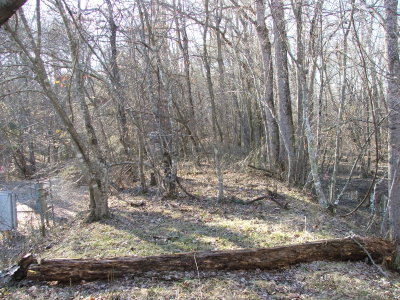
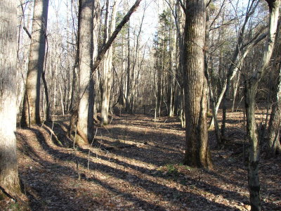 The ROW actually runs through a cut west of the Chancellorsville battlefield. Confederates used this to their advantage. |
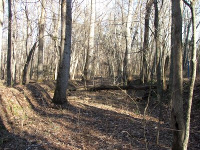 The railroad cut again. Made a good trench in the Civil War. |
 Looking west from the cut. |
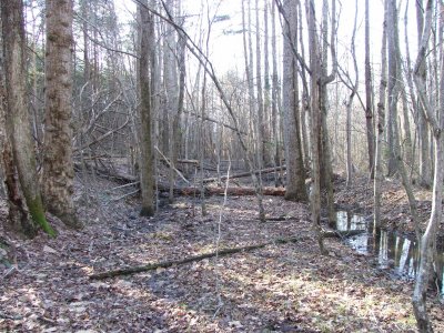
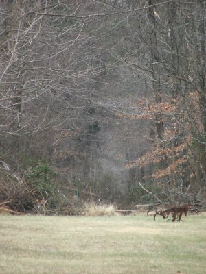
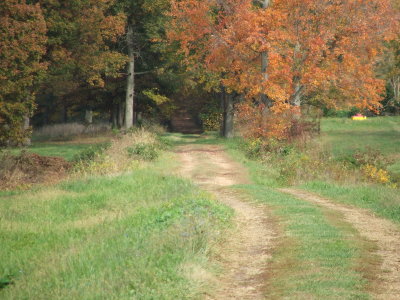
 A swamp about 1/4 mile west of Jackson Trail east shows the railroad bed in the middle of the pic. |
 Looking East from Jackson Trail West (off Brock Road) |
 Closeup of Looking East from Jackson Trail West (off Brock Road) |
 Looking west from Looking East from Jackson Trail West (off Brock Road). RR grade is now a driveway, |
 Looking East from Jackson Trail West (off Brock Road) Hilltop Farm Rd. |
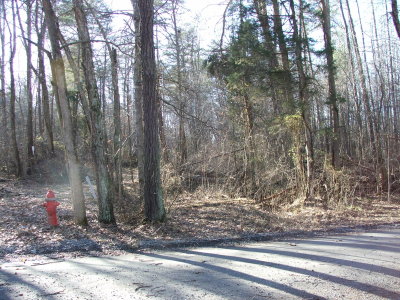
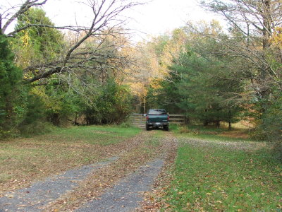 Brock Road: MP 13 Looking east toward Chancellorsville Battlefield. |
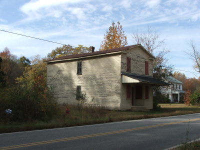 Brock Road: This building probably was the Brockroad station and post office |
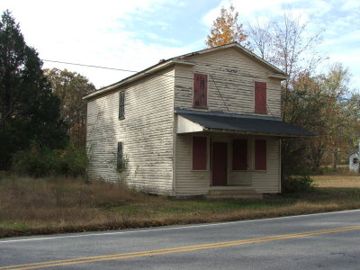 A front view of the building at Brockroad. Old maps spell the name as one word. |
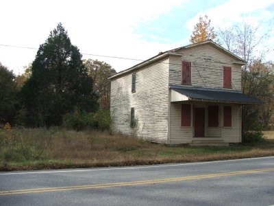 The tracks ran to the left side of the building and curved back to the right. |
 A view looking west beside the building. A very straight railroad in this area. Maybe a passing track? |
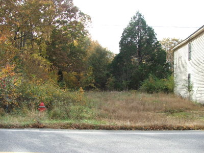
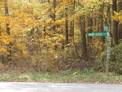
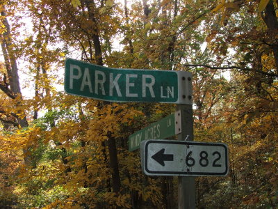 Sign at Parker: Milepost 18. Parker road is about a mile of the former railroad grade. |
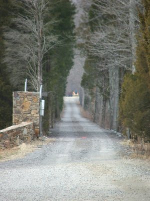
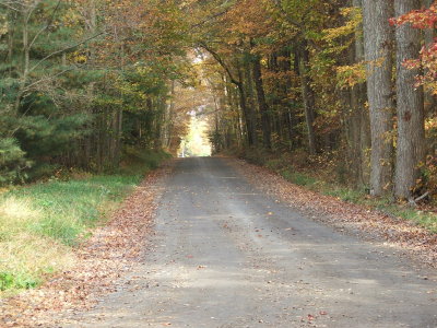 Parker Lane: now a dirt road to houses in the area. |
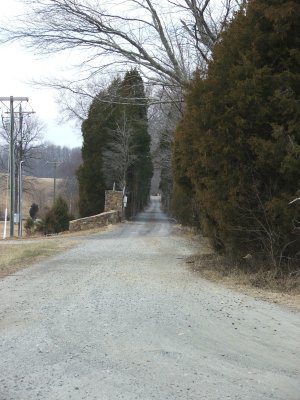
 Parker Lane again. Area used to have a water tower. It's also the halfway point between Fredericksburg & Orange. |
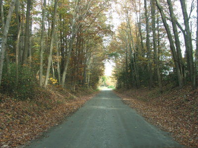
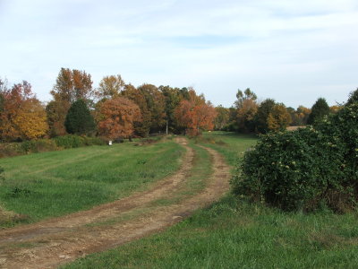 Looking east from Parker Lane as the railroad stays straight and road continues around a curve. |
 A closeup of the former railroad grade continue east. Parker is about 2 miles west of Fawn Lake on Orange Plank Road. |
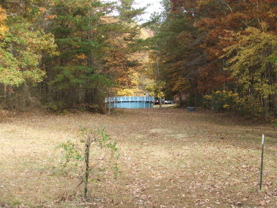
 The trackage west at Parker toward Gold Dale. The fall folliage hides the trail. |
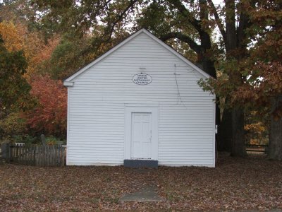 Grace United Methodist Church at Parker. |
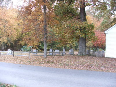 The church was close to the tracks at Parker. In this picture the tracks were just beyond the graveyard. |
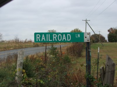 Railroad Lane. Another clue about the railroad in the area. |
 Looking east from Railroad Ave. This is between Gold Dale and Parker. |
 Looking west toward Gold Dale. The railroad is now occupied by a drive and eventually a power line. |
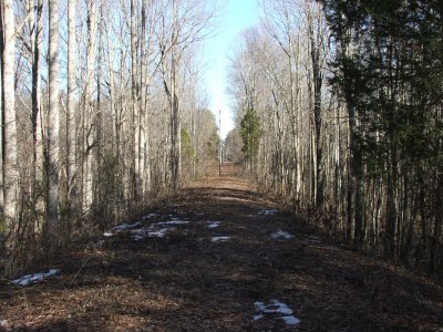 Looking east toward Parker. Note the tall fill and creek crossing past the first telephone pole. |
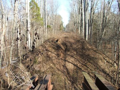 Metal beams show that a trestle was used to cross. |
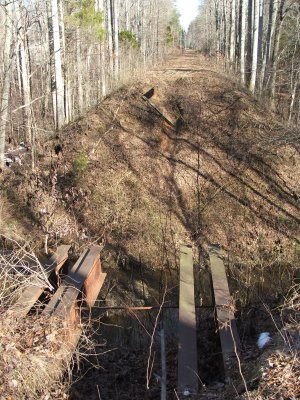 A view of the once trestle and about 30' drop. Acessable form Chancellor Meadow Rd. |
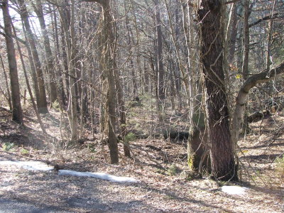 Looking west from Chancellor Meadow Rd. |
| comment | share |
| Pat Sullivan | 17-Apr-2013 12:27 | |
| Dena Cooper | 06-Mar-2013 23:55 | |