


|
|
|
|
|
|
| vamidlandrr | profile | all galleries >> PF&P narrow gauge/ Virginia Central RR Today: The abandon railroad grade from Fredericksburg, VA to Orange, VA >> Orange County | tree view | thumbnails | slideshow |
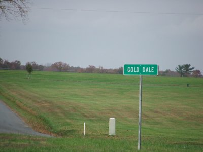 Sign at Gold Dale. The tracks south of here off of Orange Plank Road. This was the first station in Orange heading west. |
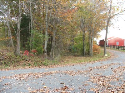 Looking east from the end of Gold Dale road. The tracks went through cut. |
 Looking west from the end of Gold Dale road. Another driveway has used the railroad grade. |
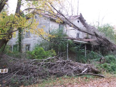 Old home at Gold Dale. It was right by the tracks. |
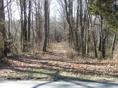
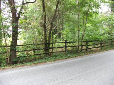 looking East from St Just. (St. Just Road.) |
 looking East from St Just. (St. Just Road.) |
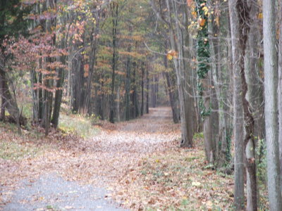
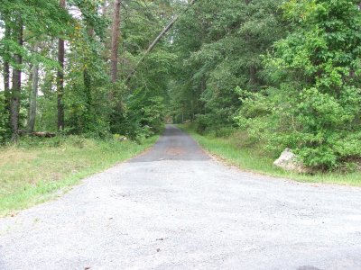
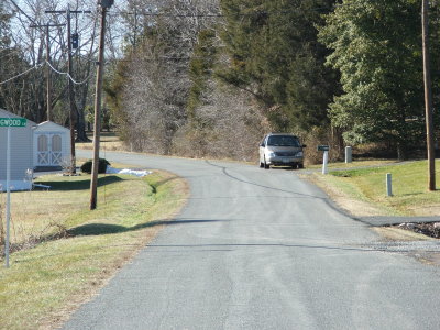
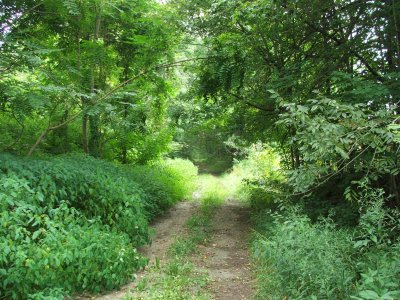 VA Central Lane: a driveway that stretches about a half mile that was once the raodbed. Off of St. Just Rd. |
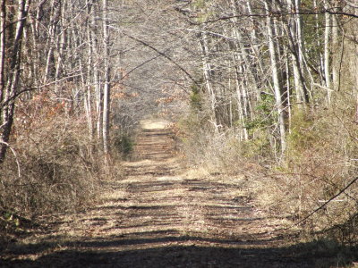 VA Central Lane: a driveway that stretches about a half mile that was once the raodbed. Off of St. Just Rd. |
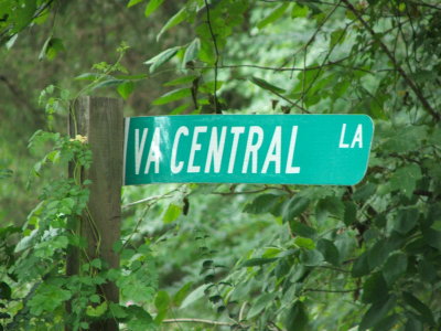 VA Central Lane, St. Just. Used to be a stop on the railroad. |
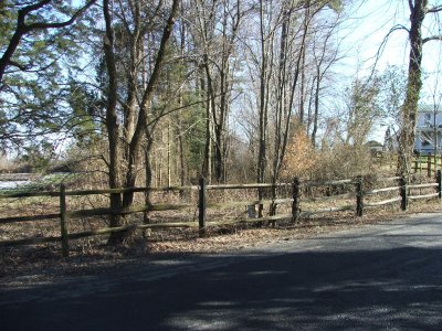
 Another driveway that once was the original roadbed. This is off of Old Lawyers Rd. in Orange county. |
 Tinder Station near Mine Run looking west. |
 Tinder Station near Mine Run. Looking east. |
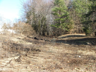
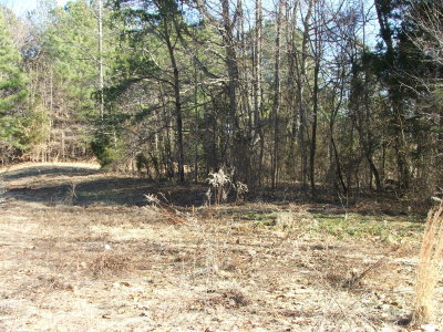 Possible station foundation? |
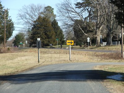 Narrow Gauge Rd. former railroad grade heads east across Rt. 20 and into front yards. |
 Former railroad grade now Narrow Gauge Rd. near Unionville. Looking west. |
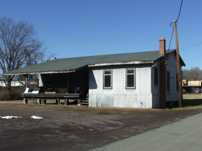 Building in Orange near the connector to the C&O trackage. |
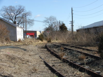 Old VC trackage looking east. Gondolas are stored here for loading. |
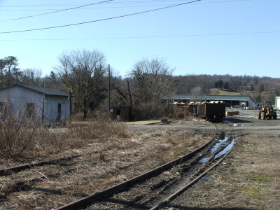 Looking towards the C&O connector. BB serves this tie loading area. |
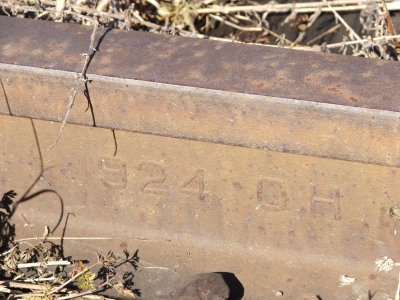 Piece of track from 1924 |
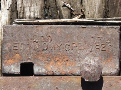 Tie plate from 1926 |
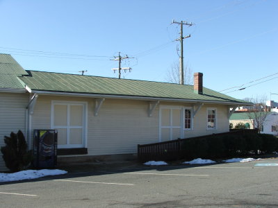 PF&P depot at Orange. It's about 100 yards from Orange's Southern station |
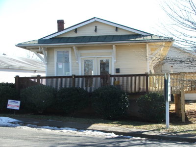 Another view of the old depot. It was for rent at the time. |
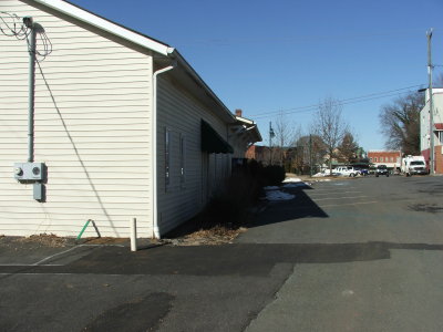 This is the terminus of the PF&P tracks beside the depot. The restored SOU Orange station i |
| comment | share |