


|
|
|
|
|
|
| Robert Lankenau | profile | all galleries >> Sudan >> Darfur >> Aerial Shots | tree view | thumbnails | slideshow |
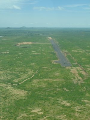
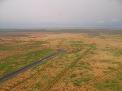 El-Fasher airport runway |
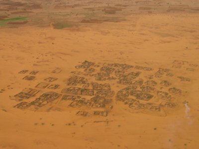
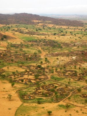
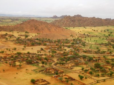
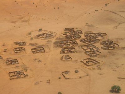
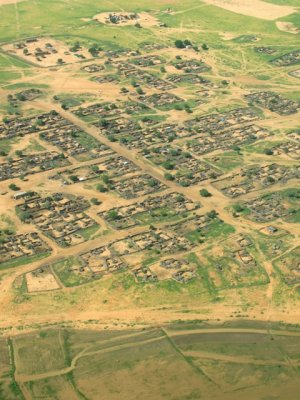
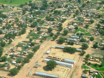
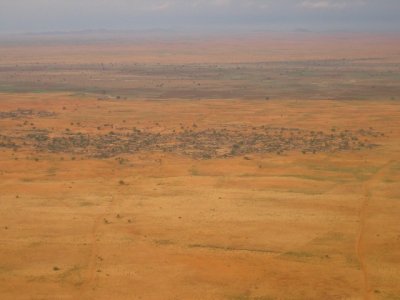 El-Fasher area villages |
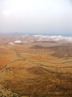
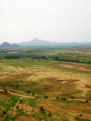
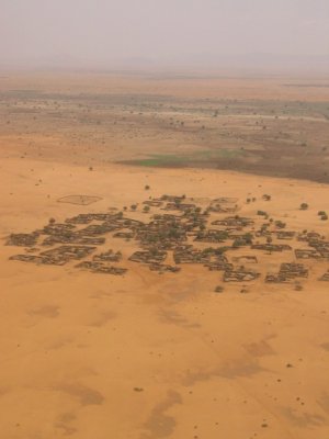
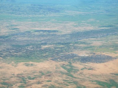
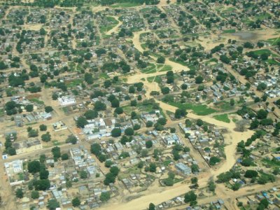
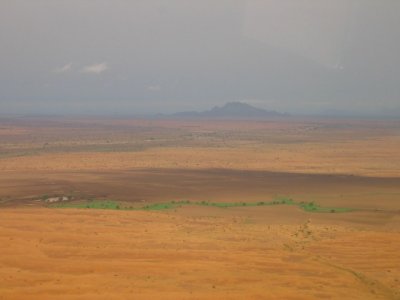 El-Fasher area |
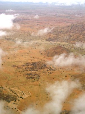
 El-Fasher area |
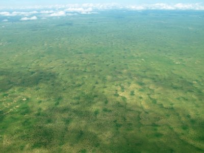
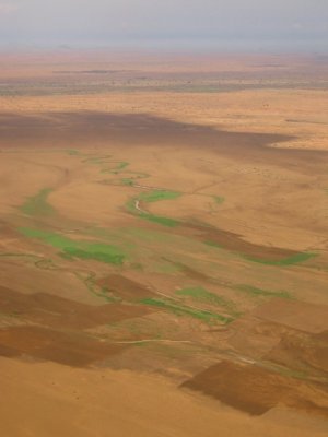 Fields |
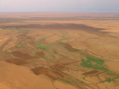 El-Fasher area fields |
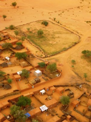
 El-Fasher area village |
 Near Kutum |
 Near Kutum |
 Near Kutum |
 Kutum outskirts |
 Kutum rooftops |
 Kutum |
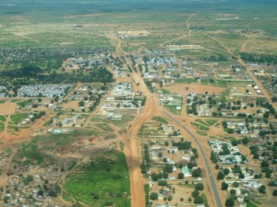
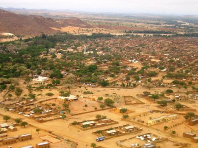 Kutum town |
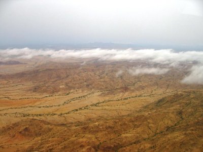
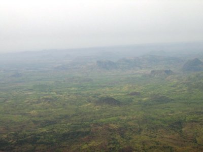
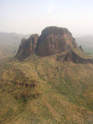
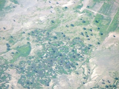
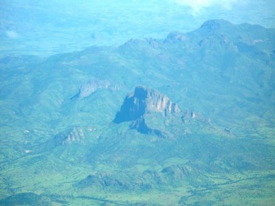
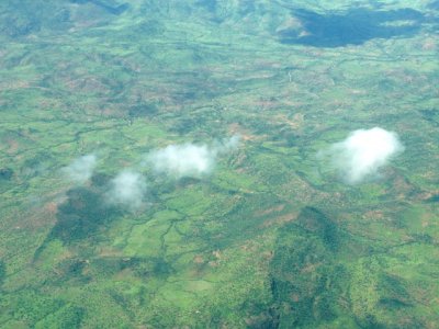
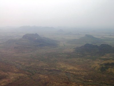 Jebel Si area |
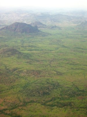
 Jebel Si area |
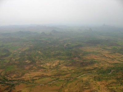
 Jebel Si area |
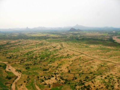
 Jebel Si area |
 Jebel Si area |
 Jebel Si area |
 Kebkabiya outskirts |
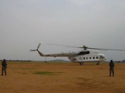 Kebkabiya airport |
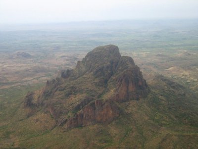
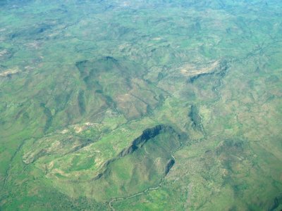
 More Jebel Si |
 Jebel Si |
 El-Fasher area village |
 El-Fasher area village |
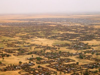 El-Fasher suburbia with camps in the background |
 Close to landing in El-Fasher |
 Village on the El-Fasher outskirts |
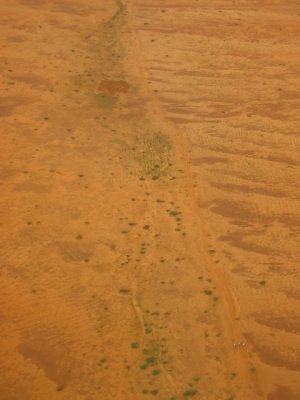
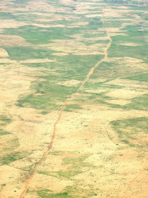 A road into the distance |
 Tawila? |
 Destroyed village close to Geneina |
 ELF-EGN-UYL flight Aug 07 012.jpg |
 Jebel Si area |
 Jebel Si |
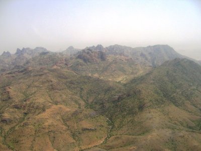
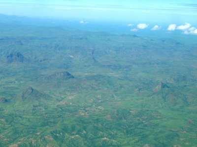
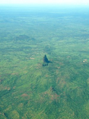
 Jebel Marra massif |
 Jebel Marra massif |
 Jebel Marra massif |
 Parts of Jebel Si |
 Countryside close to Geneina |
 Countryside close to Geneina |
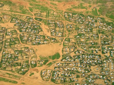 IDP camp on the Geneina outskirts |
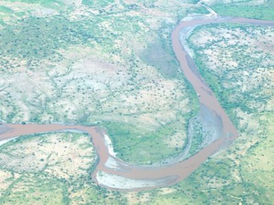
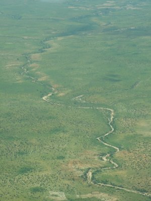
 Geneina wadi |
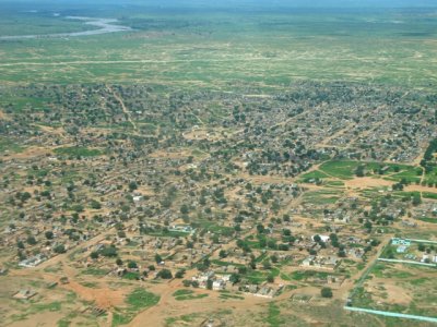 El-Geneina |
 Geneina |
 El-Geneina |
 El-Geneina |
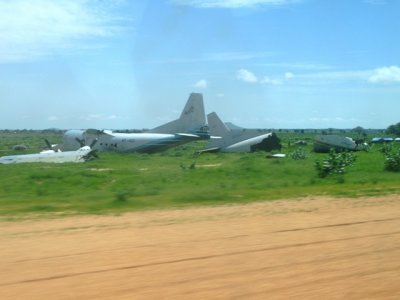 Crashed airplanes at Geneina - a common sight in all of Sudan's airports |
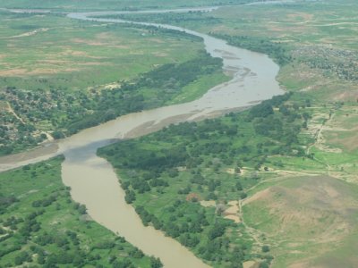
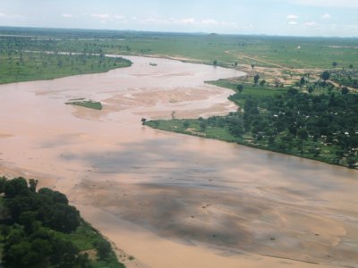 Geneina's Wadi filled with water |
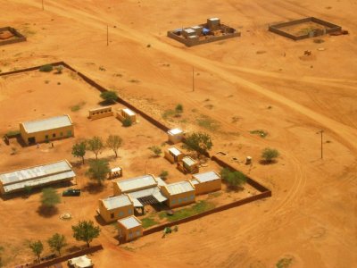
 The new/soon-to-be Geneina airport |
| comment | share |
| Guest | 16-Apr-2015 21:49 | |