


|
|
|
|
|
|
| Steve, Katherine, and Norah | profile | all galleries >> John Muir Trail 2017 >> Days 1 and 2: Horseshoe Meadows to Guyot Creek | tree view | thumbnails | slideshow |
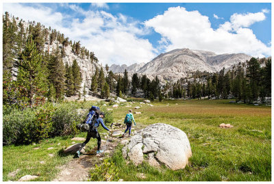
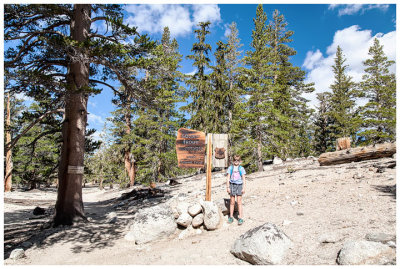 Here we go! |
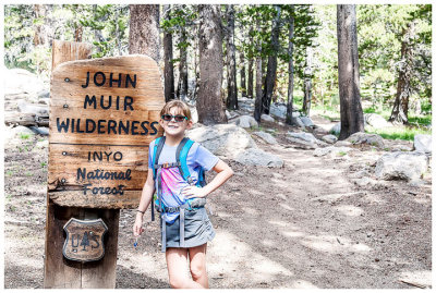 Entering John Muir Wilderness |
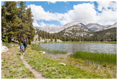
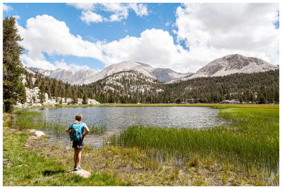
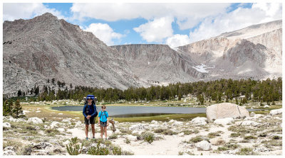 Cottonwood Lake |
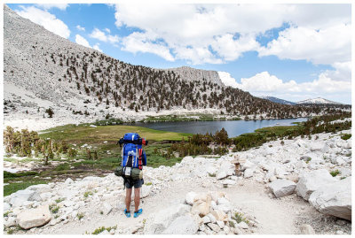 Cottonwood Lake |
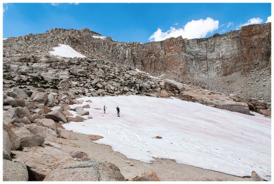 Snow at High Lake |
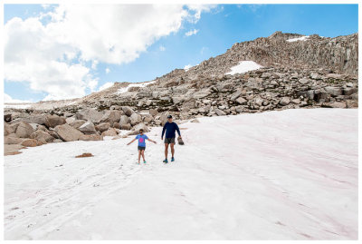 Snow at High Lake |
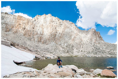 High Lake |
 Steve at High Lake |
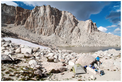 High Lake campsite |
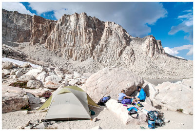 High Lake campsite |
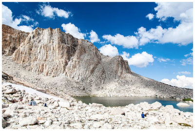
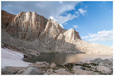 High Lake |
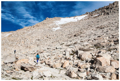
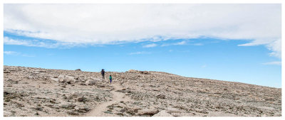
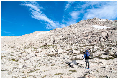 Heading up New Army Pass |
 Steve and Norah on New Army Pass |
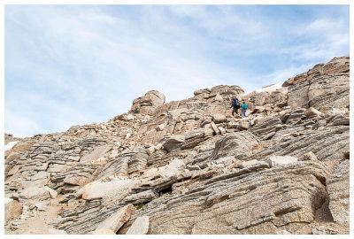 Steve and Norah on New Army Pass |
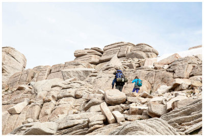 Steve and Norah on New Army Pass |
 Summit greeter |
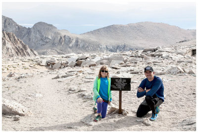 New Army Pass |
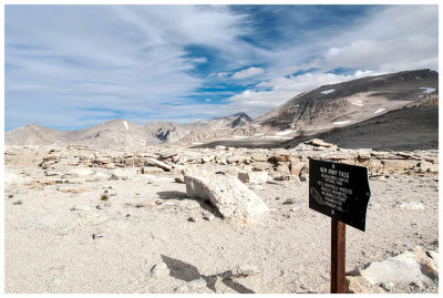 New Army Pass |
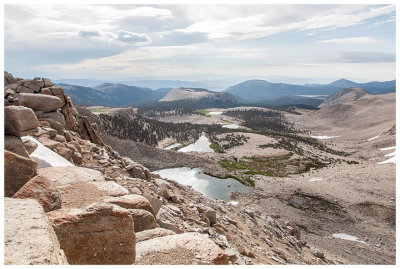 High Lake from New Army Pass |
 Down the other side |
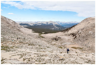 Descending New Army Pass |
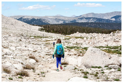 Norah on the trail |
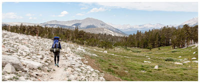 Heading back to treeline |
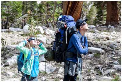 Eclipse watching |
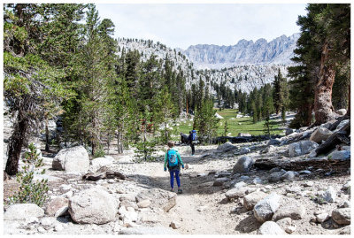 Near the Soldier Lakes Junction |
 Pretty meadow near Soldier Lakes Junction |
 Hiking along an unnamed pond |
 Admiring the meadow |
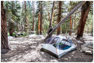 Guyout Creek campsite |
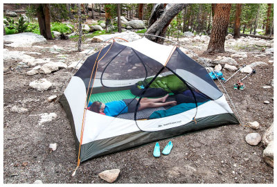 Norah enjoying some camp time |
| comment | share |