photogallery
|
all galleries
>>
Galleries
>>
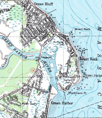
Brant Rock - Green Harbor - Ocean Bluff
> Map of South Coastal Marshfield
previous
|
next
Map of South Coastal Marshfield
HP HP psc1310
other sizes:
small
medium
large
original
auto
previous
|
next
Photos are copyrighted
share
Type your message and click Add Comment
It is best to
login
or
register
first but you may post as a guest.
Enter an optional name and contact email address.
Name
Name
Email
help
private comment
photogallery
10-Dec-2011 22:44
This is a topographical map and is available on-line at the Univ. of NH ....see..
http://docs.unh.edu/nhtopos/nhtopos.htm
Type your message and click Add Comment
It is best to
login
or
register
first but you may post as a guest.
Enter an optional name and contact email address.
Name
Name
Email
help
private comment