


|
|
|
|
|
|
| Philippine Aviation | profile | all galleries >> Galleries >> Maramag (XMA) Airport / OADI Airport, Quezon, Bukidnon | tree view | thumbnails | slideshow |
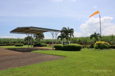
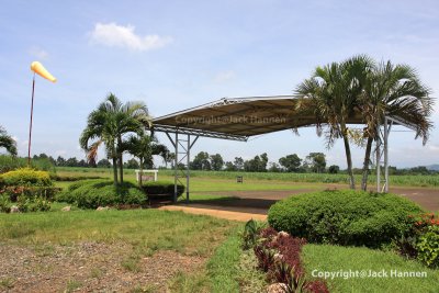 Maramag Airport Terminal |
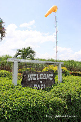 Welcome Sign |
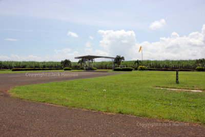
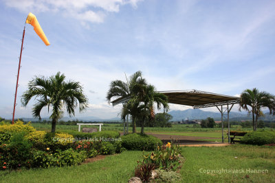 Maramag Airport (XMA) |
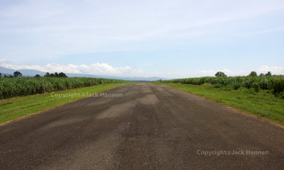 Undulating runway |
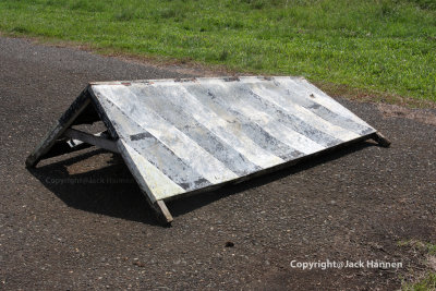 Marker |
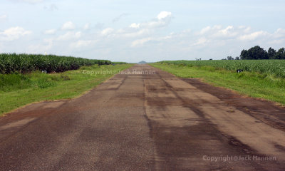 Looking South |
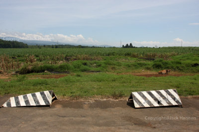 North of the runway end |
 Ramp view |
 Maramag Airport Terminal |
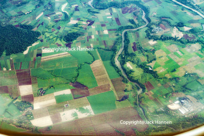 Overview of Maramag Airport (XMA) / OADI Quezon, Bukidnon |
| comment | share |
| Philippine Aviation | 26-Oct-2013 16:48 | |
| Philippine Aviation | 09-Oct-2013 04:48 | |
| Guest | 09-Oct-2013 02:49 | |
| Philippine Aviation | 26-Aug-2013 05:47 | |
| eri fernandez-pabellon | 26-Aug-2013 04:32 | |
| gay banguis | 03-Jul-2012 00:02 | |
| Philippine Aviation | 22-Feb-2012 16:19 | |
| cesar dolly | 22-Feb-2012 07:37 | |