


|
|
|
|
|
|
| Nikola Gruev | profile | all galleries >> Bulgaria >> Bulgarian roads and road maps >> Rural road | tree view | thumbnails | slideshow |
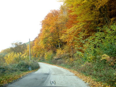
 sDSC05563.JPG |
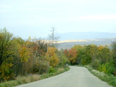
 sDSC05565.JPG |
 sDSC05566.JPG |
 sDSC05567.JPG |
 sDSC05569.JPG |
 sDSC05572.JPG |
 sDSC05577.JPG |
 sDSC05578.JPG |
 sDSC05579.JPG |
 sDSC05581.JPG |
| comment | share |
| Paul Walker | 03-Nov-2010 16:06 | |
| Ali Majdfar | 17-Nov-2009 10:48 | |