photo sharing and upload picture albums photo forums search pictures popular photos photography help login
Dave Beedon | profile | all galleries >> Places >> Utah >> Moab (environs) >> Shafer Trail >> Shafer Trail: Shafer Camp tree view | thumbnails | slideshow | map

Shafer Trail: First Visit | Shafer Trail: Second Visit | Shafer Trail: Goose Neck Viewpoint | Shafer Trail: Shafer Camp | Shafer Trail: Thelma and Louise Plateau | Shafer Trail: Cross-Country Descent to the Colorado River | Ridge of Unknowns

Shafer Trail: Shafer Camp

Shafer Camp is a small campground on the dirt road in Shafer Canyon in Canyonlands National
Park, near the eastern boundary of the park. It has room for several tents. Much of the
ground is pebbly, so finding a good place to pitch a tent can be a challenge.

The first four photos were taken when I passed Shafer Camp on my way to the White Rim
Trail (another gallery) to inspect the Goose Neck from two viewpoints. The remaining
shots were taken after I had returned and set up camp. I was the only one there.
Experimenting with time exposures in the moonlight was fun. The next day was full moon.

Shafer Camp is at the center of this WikiMapia aerial view (click on any rectangle for
information): http://www.wikimapia.org/#y=38466358&x=-109781141&z=14&l=0&m=a&v=2 .
.
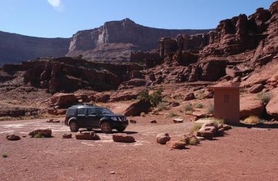
Parking lot and pit toilet
View to the northeast
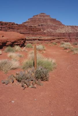
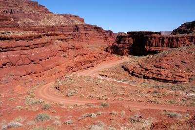
View to the east of Shafer Trail
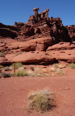
Scenery by campsites
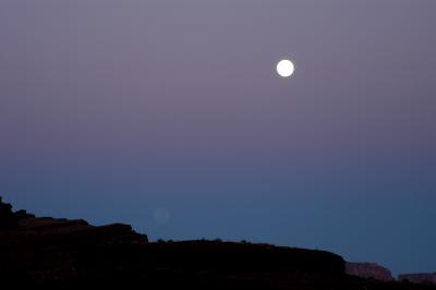
Moon over Shafer Camp
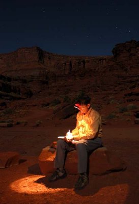
Updating my journal under the stars and moon
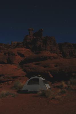
Tent by moonlight
Tent by moonlight
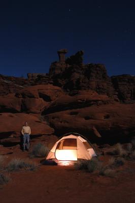
Shafer Boy and tent with moon light, candlelight, and Photoshop
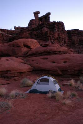
Tent by dawn's light
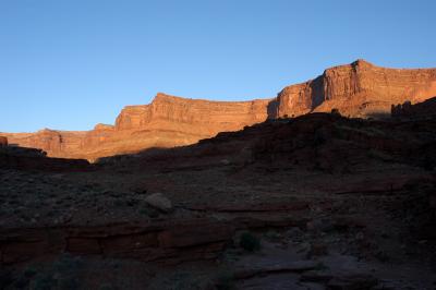
First light on the rocks
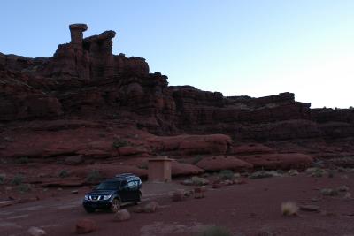
Packed up and ready to move out for some exploring