


|
|
|
|
|
|
| Dave Beedon | profile | all galleries >> Places >> Utah >> Moab (environs) >> Shafer Trail >> Shafer Trail: First Visit >> Remainder | tree view | thumbnails | slideshow |
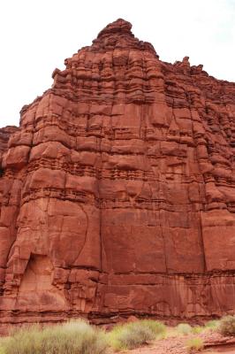 Cliff |
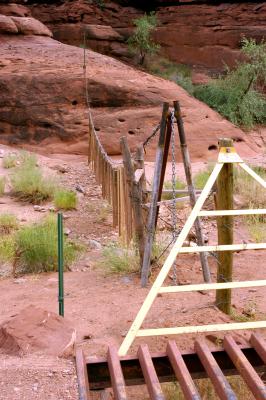 Flexible fence #1 |
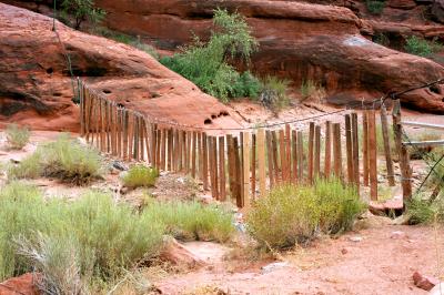 Flexible fence #2 |
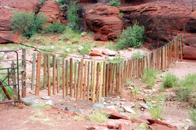 Flexible fence #3 |
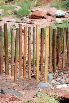 Flexible fence #4 |
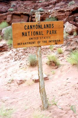 Boundary sign |
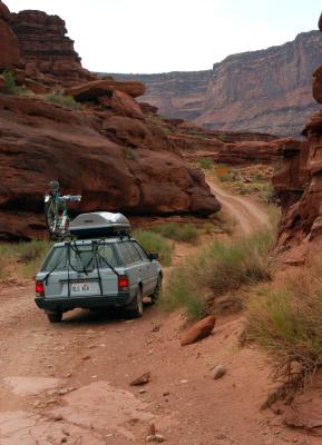 The road ahead |
| comment | share |