


|
|
|
|
|
|
| Photo.Keely | profile | all galleries >> Ireland >> Meath >> Map-1837 | tree view | thumbnails | slideshow |
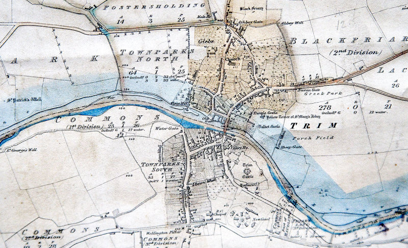 Trim |
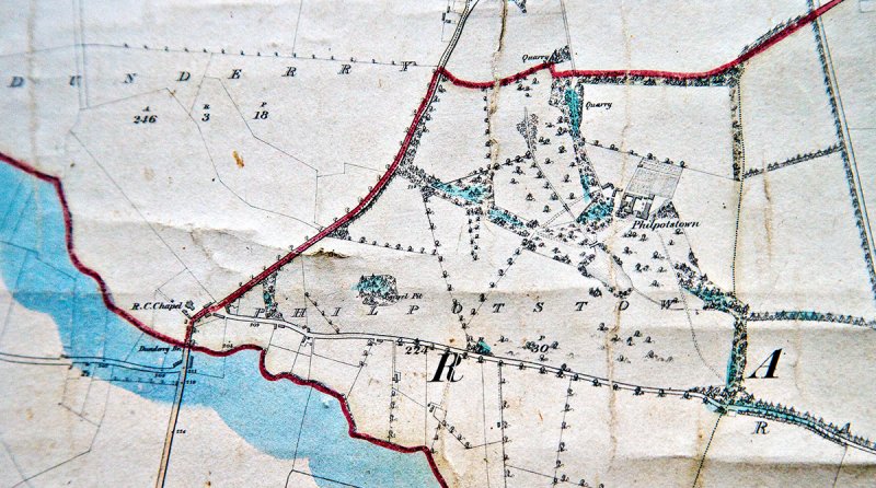 Dunderry |
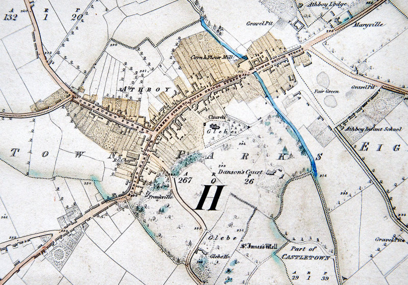 Athboy |
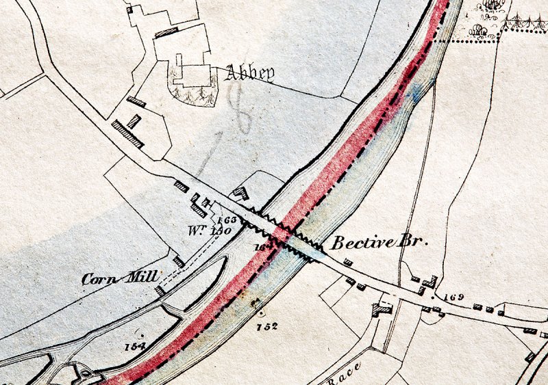 Bective-Abbey |
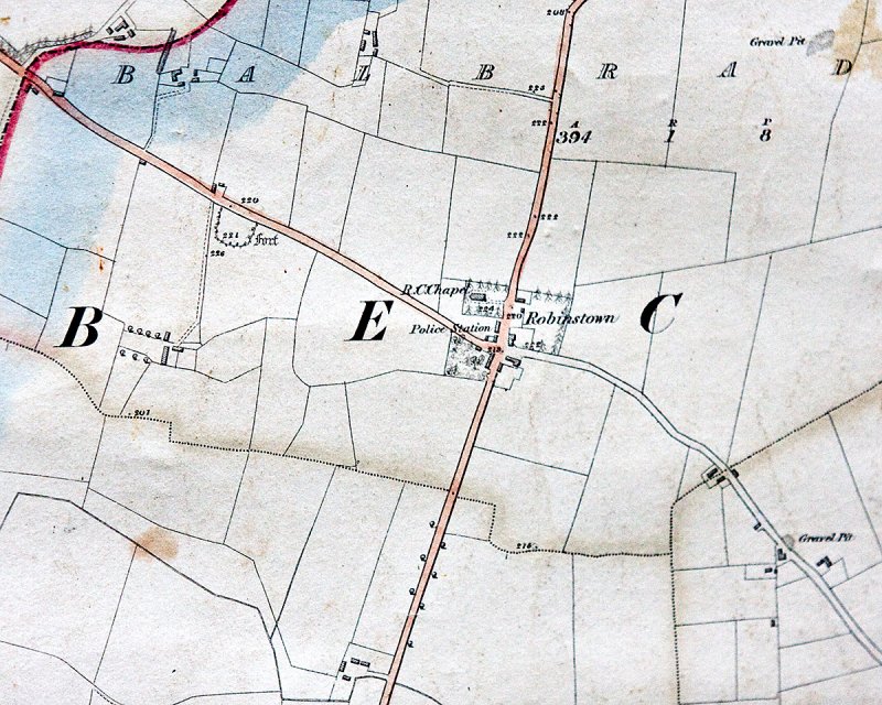 Robinstown |
 O'Connell's Cross |
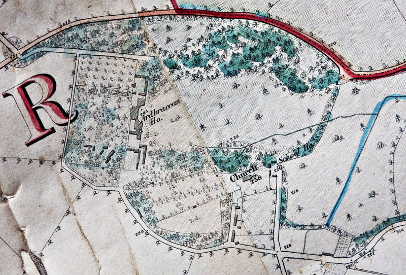 Ardbracken |
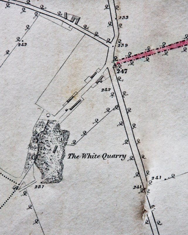 White Quarry |
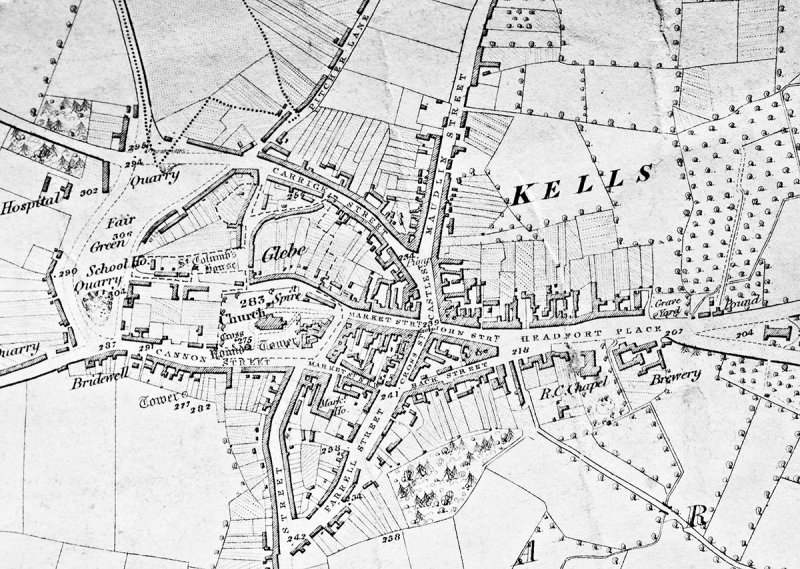 Kells |
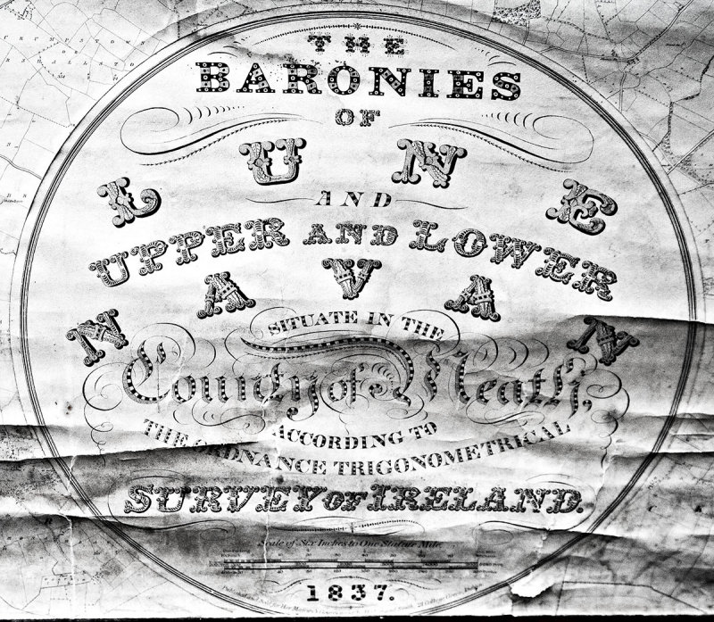 Survey Details |
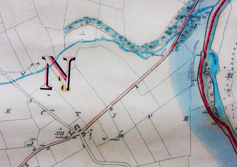
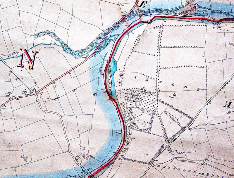 Bective & Connell's Cross |
| comment | share |