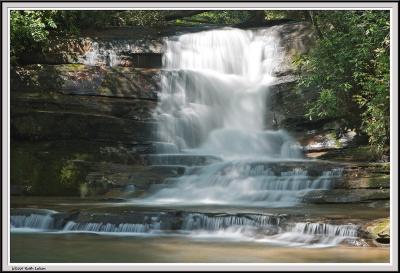
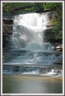
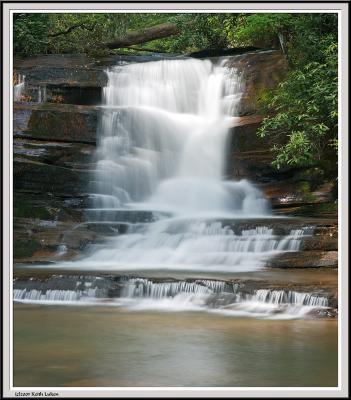
To reach this location go north on 441 from Tallulah Gorge about 1.4 miles and look for Old 441 on your left (There should be a sign that also shows it as the way to Rabun Beach Recreational Area). Stay on 441 for 5.7 miles and make a left on FS20 (there will be a large metal building surrounded by fencing with a genertor on the left and ont he right a sign showing Stonewall Creek). FS20 is a gravel road that is narrow at times. You proceed 1.3 miles to what appears to be a fork in the road. The main road appears to go to the right and a smaller road kind of curves back around to the left (there was also a metal garbage drop at the fork). The falls is about .4 miles down to the left (very rough bumpy road, not for low suspensions), BUT be warned if you have a car you may want to part at the fork or there is a parking area a few hundred feet to the right and walk. The walk is rather easy as you are walking on the road and it is a slight decline down. You will be near the falls when you apporach the camping area (rather popular one too, when I was there there were no fewer than 5 camp sites), o to the back left corner of the camping areas (follwo the sounds of the falls) to the falls.
I rate the access at a 3 and the falls them selves at a 7 out of 10.