


|
|
|
|
|
|
| |
| 13-FEB-2009 | |
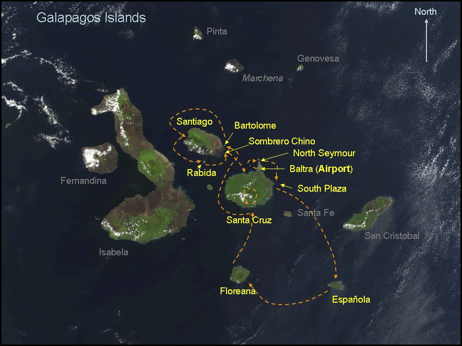
This is a NASA satellite picture of the Galapagos Islands with the locations that we visited shown in yellow. The plane ride from Quito took about 3 hrs not counting the stop we made in Guayaquil. The Aerogal plane was confortable with three seats on each side and deep overhead compartments large enough for my Tamrac Expedition 7 bag fitting straight in. We landed in the airport at Baltra and moved by bus to the pier where we were then transported via a short panga ride to the Nemo I.