


|
|
|
|
|
|
| George Kolb | profile | all galleries >> Galleries >> Apache Canyon Hike | tree view | thumbnails | slideshow |
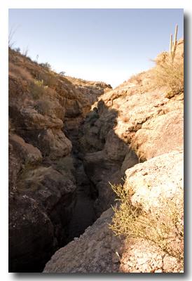
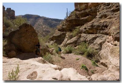
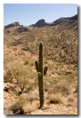
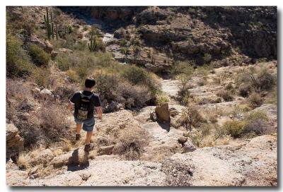 Leaving the Road Downhill to Canyon Floor |
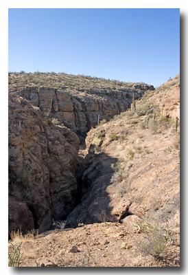
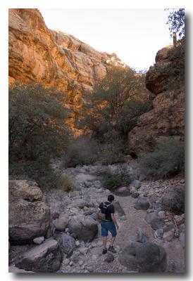
 Looking East up the Canyon |
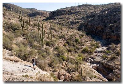
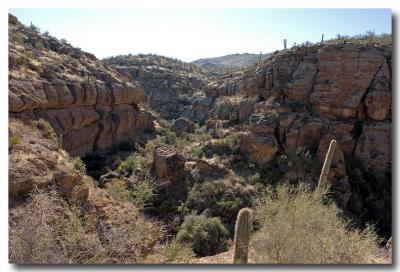
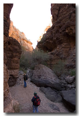
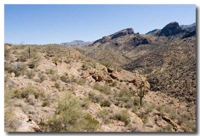
 Looking West Toward our Destination |
 And the Boulders Begin |
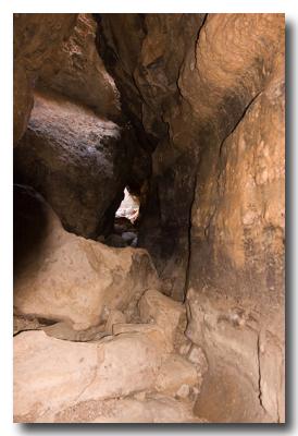
 The Narrows |
 |
 |
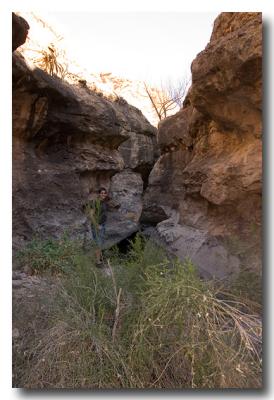
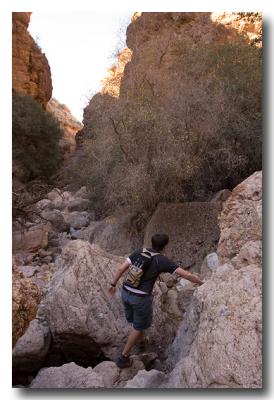
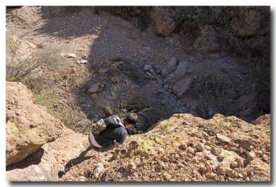 Final Decent to Canyon Floor |
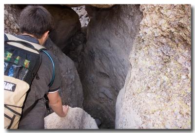
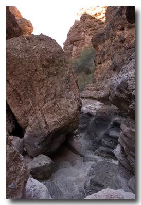
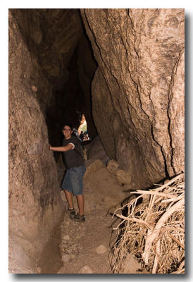
 Narrow Passages |
 |
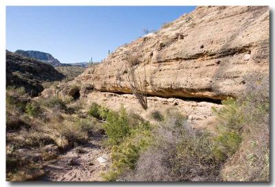
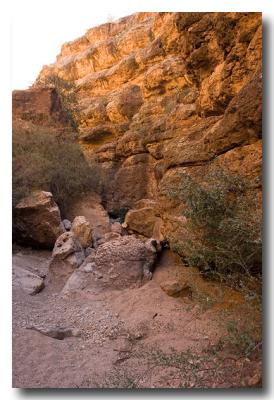
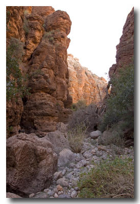
 Dead End on East End of Canyon |
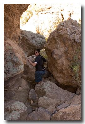
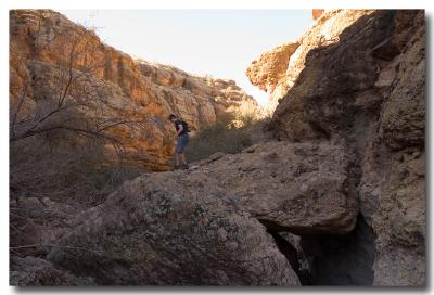
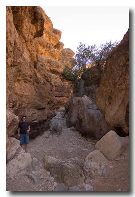
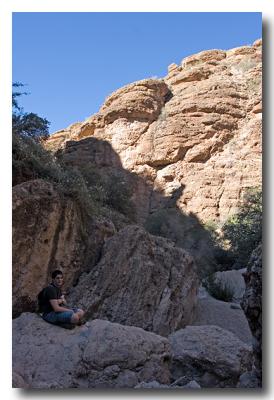
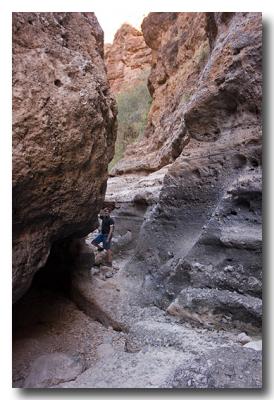
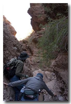
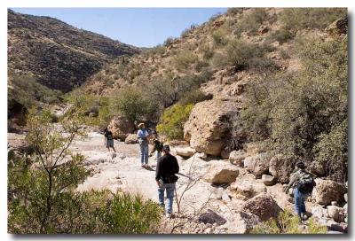
 Selecting a Route |
 |
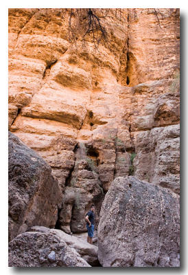
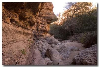
 Multiple Levels on Canyon Floor |
 |
 |
 |
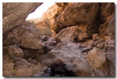
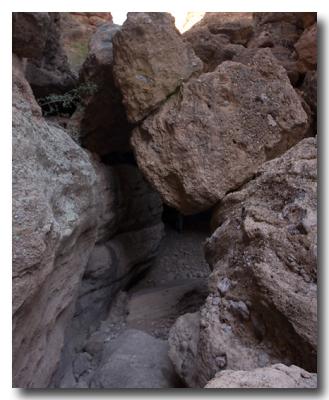
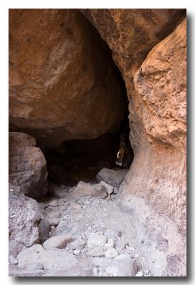
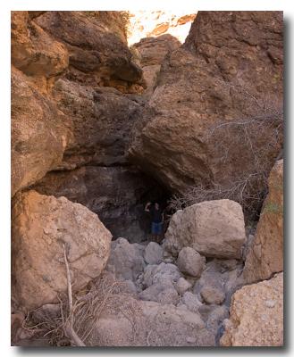 Beginning of Long Boulder Cave |
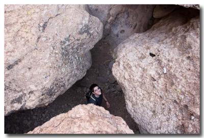
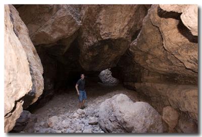
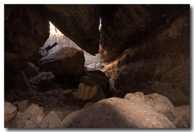
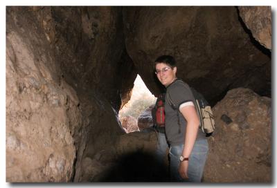
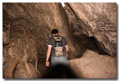 Inside the Cave |
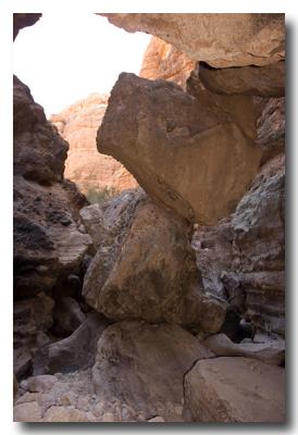
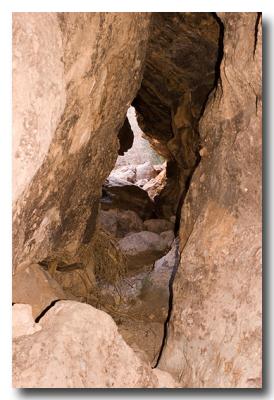
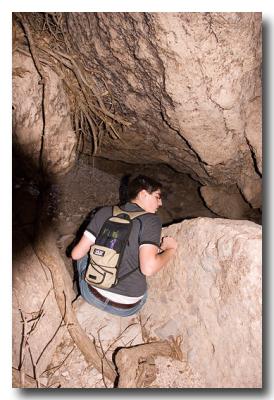 Which Way |
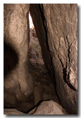 |
 Out in the Open Again |
 |
 |
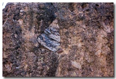 Conglomerate |
 |
 |
 |
 |
 |
 A Particularly Difficult Decent |
 |
 |
 Beginning of Another Long Boulder Cave |
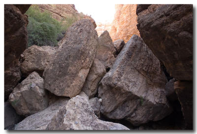
 Stacked Boulders |
 |
 |
 Large Room |
 |
 |
 Long Way to Go |
 |
 Exit |
 |
 |
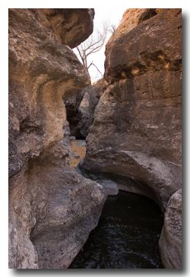
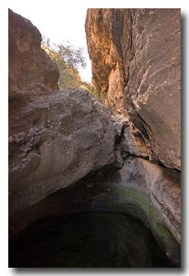 One of Many Pools |
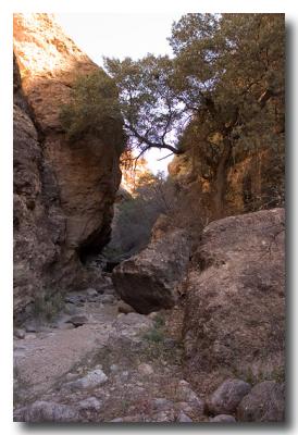
 Canyon Begins to Widen |
 Back in the Sun Again |
 |
 |
 Looking Down Where We Just Hiked Up |
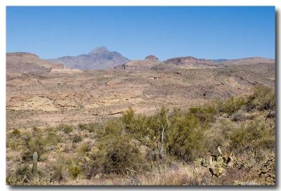
 Looking East over Apache Canyon |
 Looking North to Four Peaks (Elev 7645') |
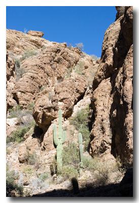
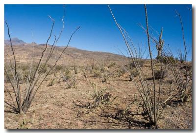 Ocotillo Garden |
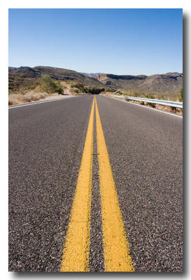 Road Back to the Car |
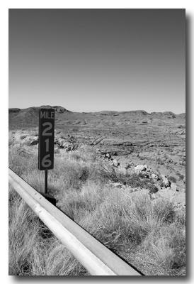 216 Miles from Where? |
| comment | share |