


|
|
|
|
|
|
| Fred Dietrich | profile | all galleries >> Leon Sinks | tree view | thumbnails | slideshow |
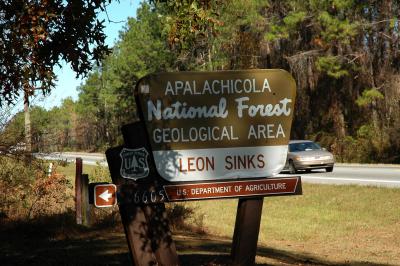 Entrance on US 319 |
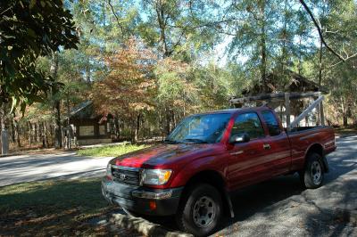 My truck in the parking lot |
 Restrooms - Pileated Woodpecker's favorite |
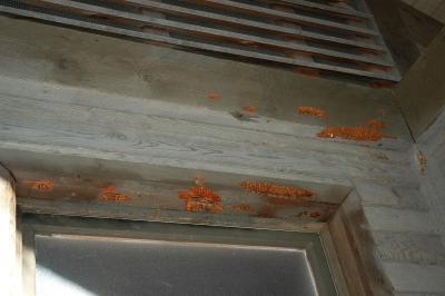 Notice the holes made by the pileated |
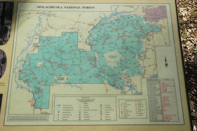 Map of the area |
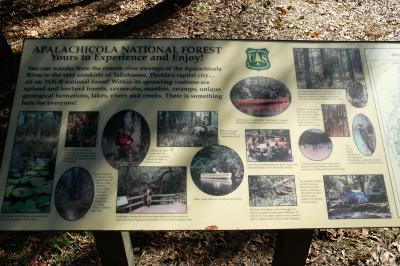 Sights to be seen in the Apalachicola National Forest |
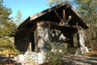
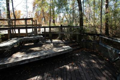
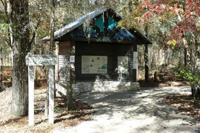 Information hut |
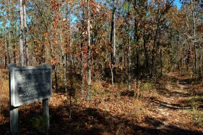
 Welcome sign |
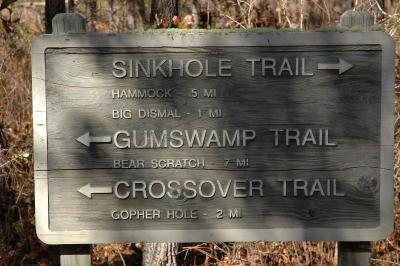
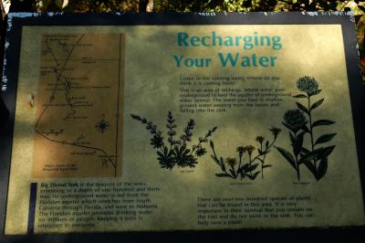
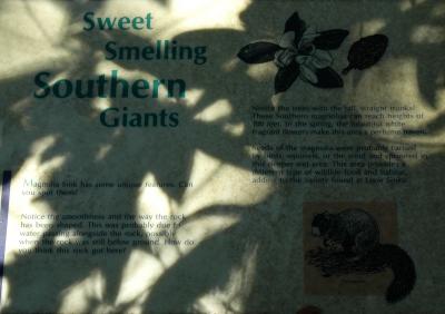
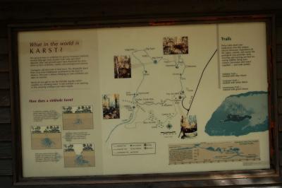 Trail map and information on sinkholes |
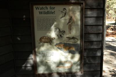 Wildlife that may be seen |
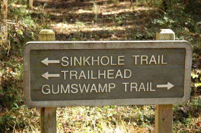
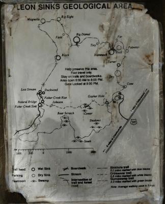 Trail map |
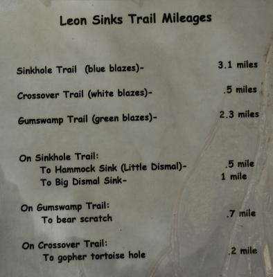 Trail distances |
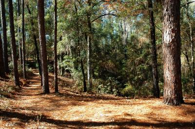
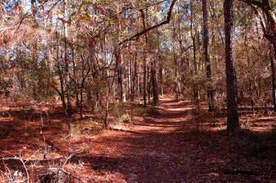
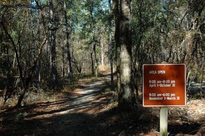 Off we go |
 Trail heading North |
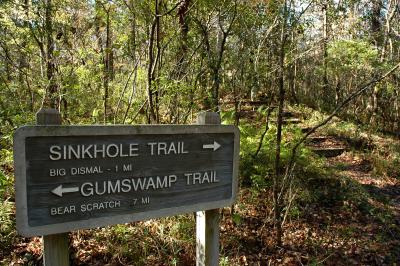
 First decision - Go right to Big Dismal Sink |
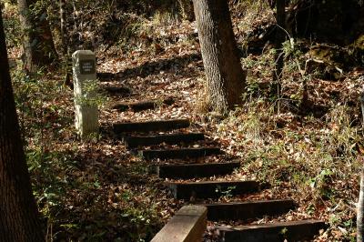
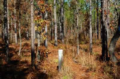 Trail Marker and blue blazes - not lost yet |
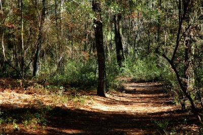
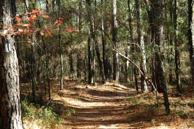
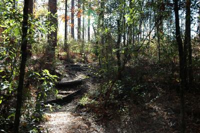 Trail |
 First sink - ahead on the right |
 Looking down into the sink |
 Anolther view of the sink, difficult to see |
 Another sink |
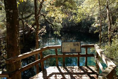
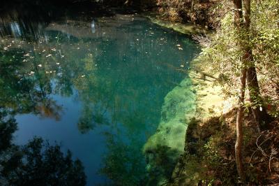
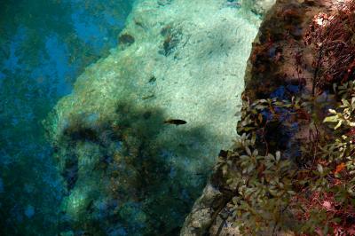
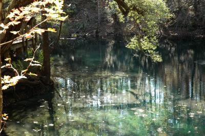
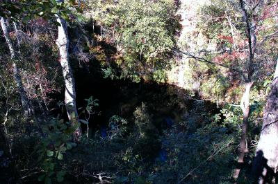
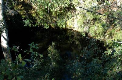
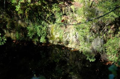
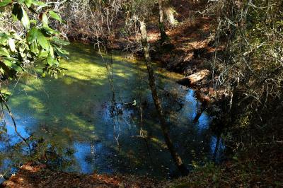
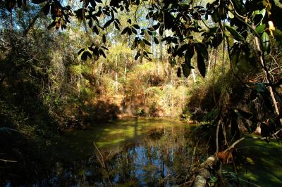
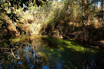
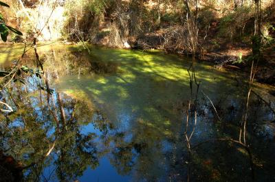
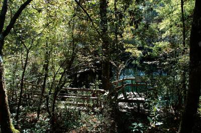 Hammock Sink |
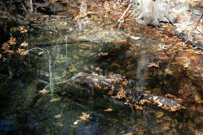
 Hammock Sink |
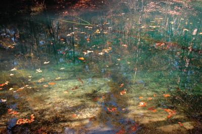
 Hammock Sink |
 Hammock Sink |
 Hammock Sink |
 Hammock Sink |
 Hammock Sink |
 Hammock Sink |
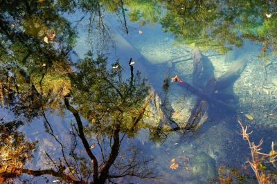 Hammock Sink |
 Hammock Sink |
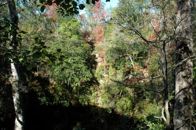
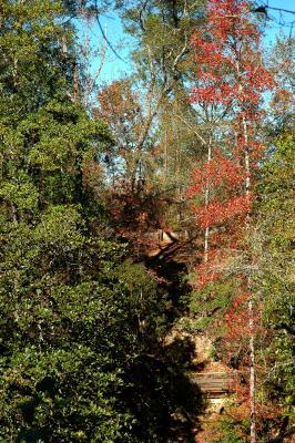
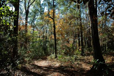
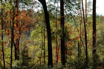
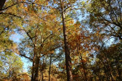
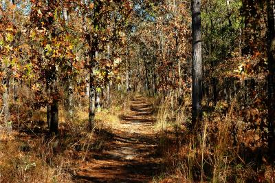
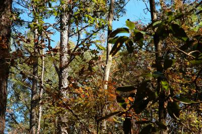 Some of the fall foliage |
 Tiny Sink |
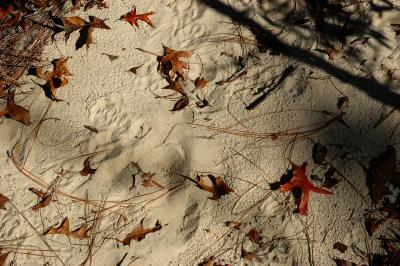 Animal tracks in the sand |
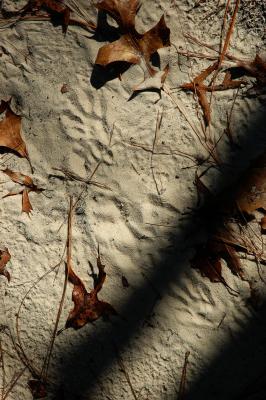 Racoon tracks in the sand |
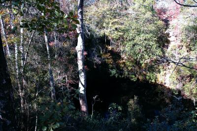
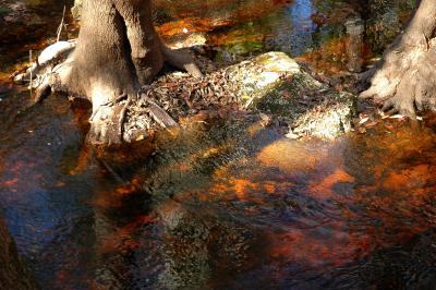
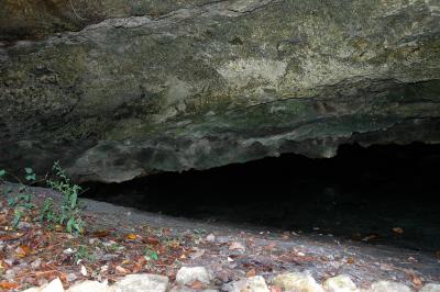
 Big Dismal Sink |
 Big Dismal Sink |
 Big Dismal Sink |
 Big Dismal Sink |
 Big Dismal Sink |
 Big Dismal Sink |
 Big Dismal Sink |
 Big Dismal Sink |
 Big Dismal Sink |
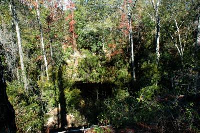
 Big Eight Sink |
 Trail to Magnolia Sink |
 Magnolia Sink |
 Magnolia Sink |
 Magnolia Sink |
 Black Sink |
 Black Sink |
 Black Sink |
 Black Sink |
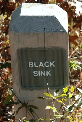 Black Sink Marker |
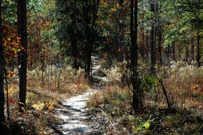 Trail becomes sandy |
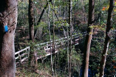
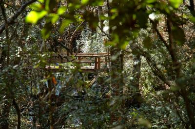 Walkway over low land |
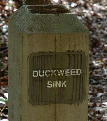
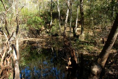
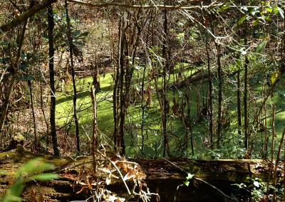 Duckweed Sink |
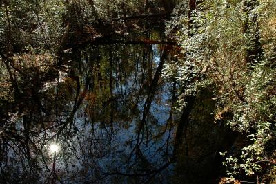
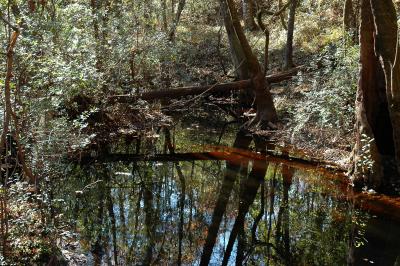
 Sink beside Duckweed Sink |
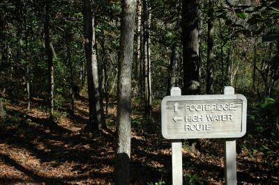
 Trail Marker |
 Lost Stream Sink |
 Lost Stream Sink |
 Lost Stream Sink |
 Lost Stream Sink |
 Lost Stream Sink |
 Lost Stream Sink |
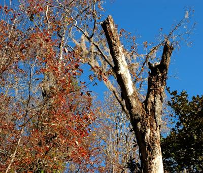
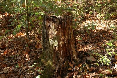 Interesting stump |
 Trail Marker |
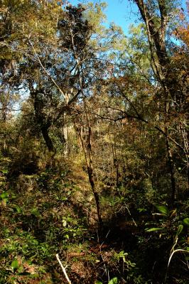
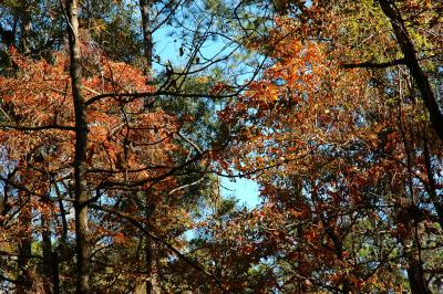
 Fall foliage on hillside |
 Interesting tree |
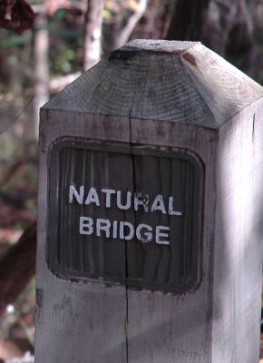
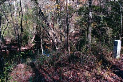
 Trail to Natural Bridge |
 Trail Marker |
 Trail Marker |
 Trail Marker |
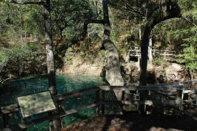
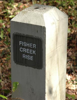
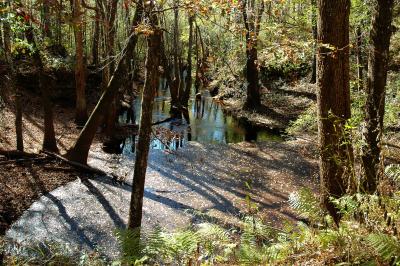
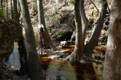
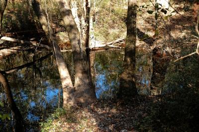 Fisher Creek Rise - comes above ground |
 Fisher Creek Rise |
 Fisher Creek Rise |
 Fisher Creek Rise |
 Trail Marker |
 Trail Marker |
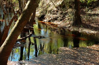
 Fisher Creek |
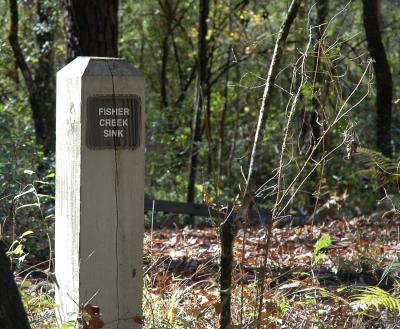
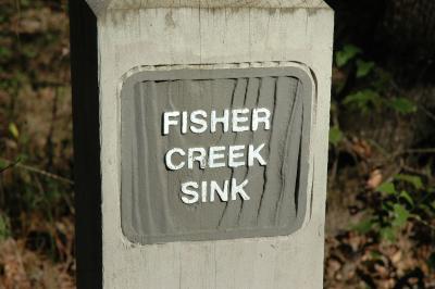
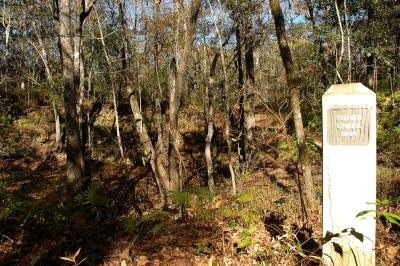
 Fisher Creek Sink - going underground |
 Fisher Creek Sink |
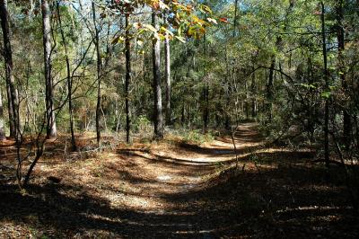
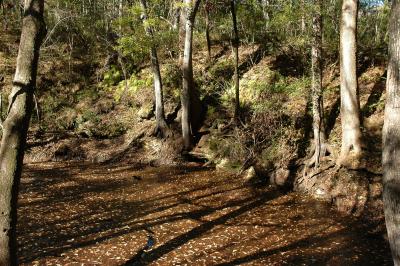 Fisher Creek Sink |
 Fisher Creek Sink |
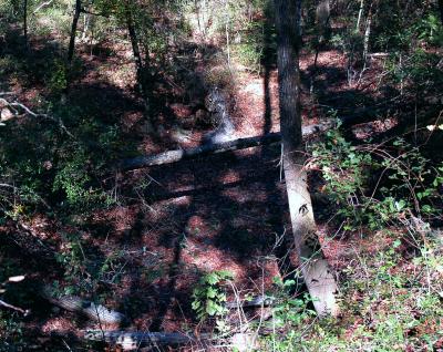
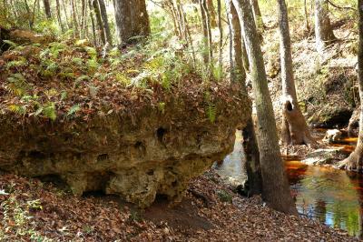 Limestone outcroping at Fisher Creek Sink |
 Fisher Creek Sink |
 Trail Marker |
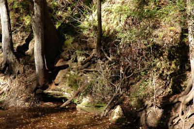
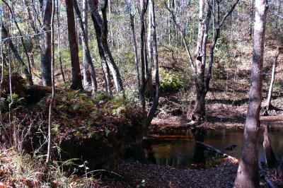 Fisher Creek Sink |
 Fisher Creek Sink |
 Fisher Creek Sink |
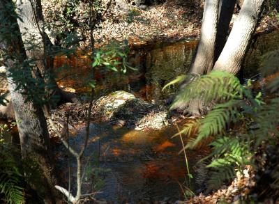
 Fisher Creek Sink |
 Fisher Creek Sink |
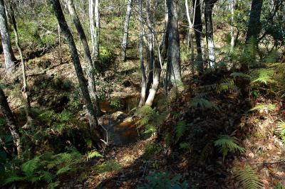
 Fisher Creek Sink |
 Fisher Creek Sink |
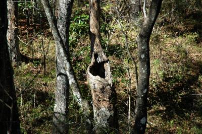 Another interesting tree |
 Trail Marker |
 Trail Marker |
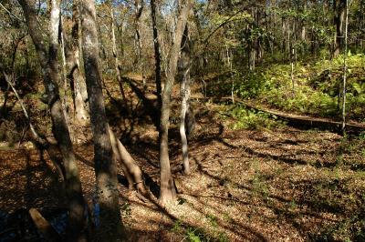
 The trail back |
 Johnson Sink |
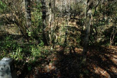
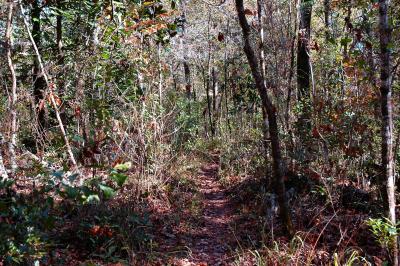
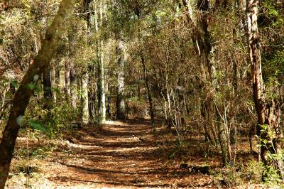
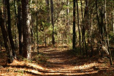
 Trail |
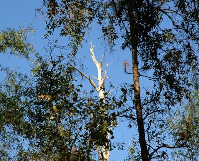
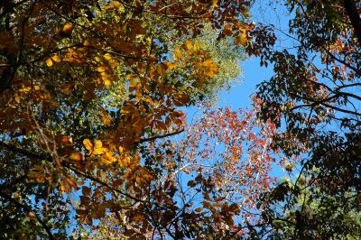
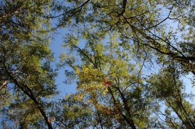 Colors in the canopy |
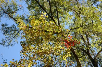 Colors in the canopy |
 Trail |
 DSC_9079a.jpg |
 DSC_9080a.jpg |
 DSC_9081a.jpg |
 DSC_9082a.jpg |
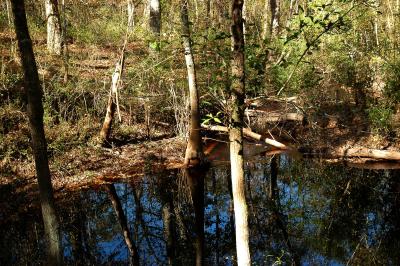
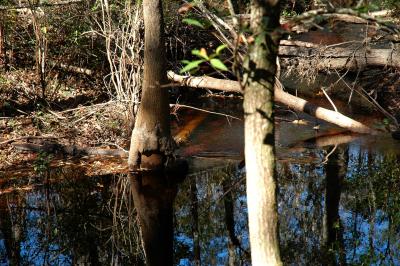
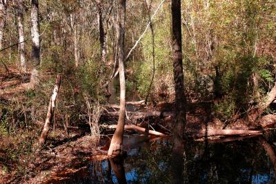
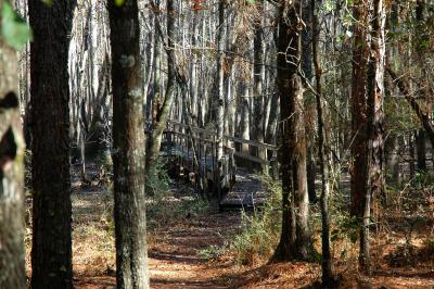 Center Swamp |
 Center Swamp |
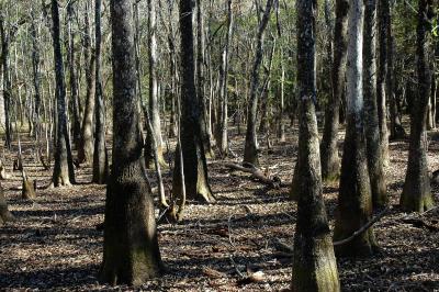 Center Swamp |
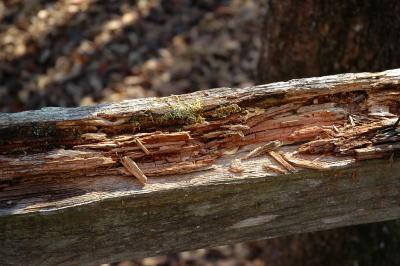 Rotting railing at Center Swamp |
 Foliage |
 Foliage |
 Trail Marker |
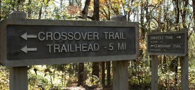
 Crossover Trail |
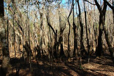
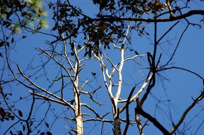 Trees on Crossover Trail |
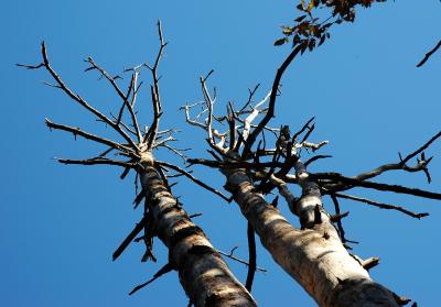 Trees on Crossover Trail |
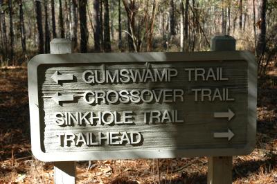 Trail Marker |
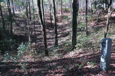
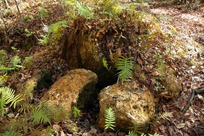
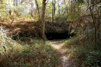
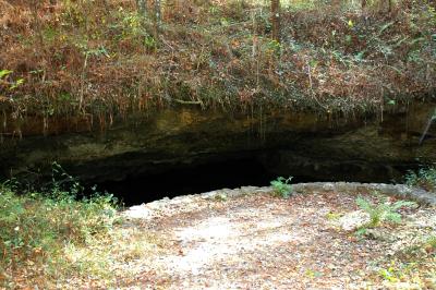
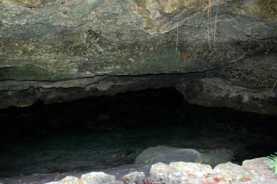
 Gopher Hole Sink |
 Gopher Hole Sink |
 Gopher Hole Sink |
 Gopher Hole Sink |
 Gopher Hole Sink |
 Gopher Hole Sink |
 Crossover Trail |
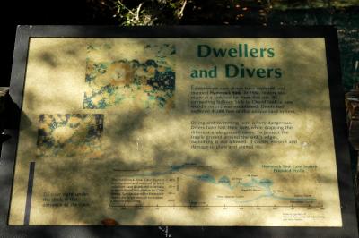
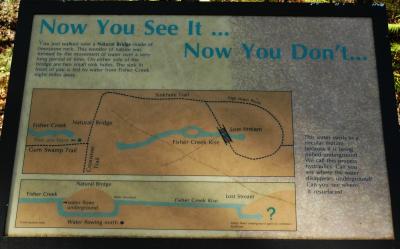
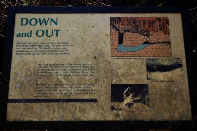
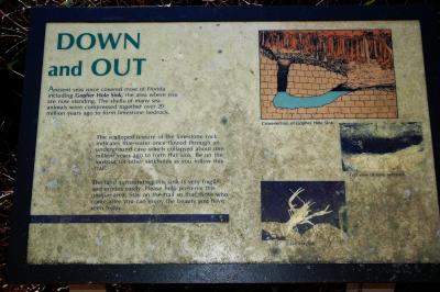
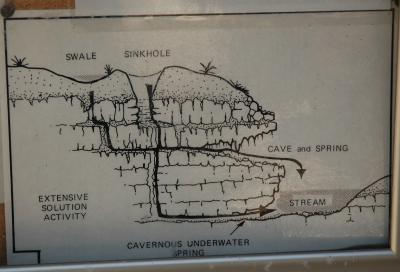 Diagram of sink, cave and stream |
| comment | share |