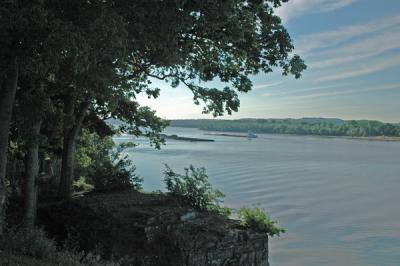
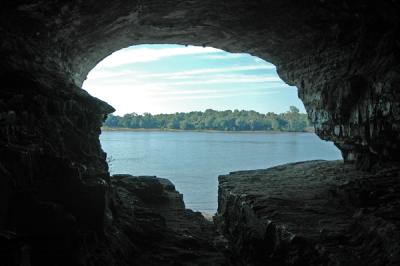
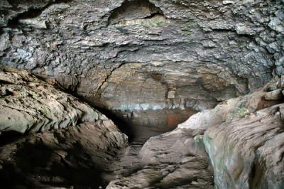
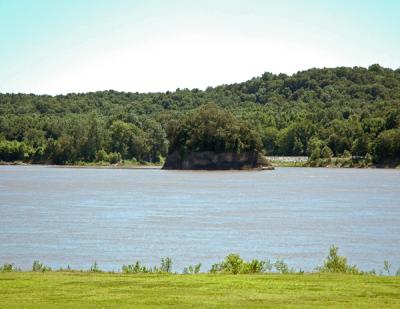
Images taken here in southern Illinois, a region otherwise known as "little Egyp.t" This moniker is a reference to the delta region of the Nile in Egypt, as deep southern Illinois is also a delta region, bounded by the Mississippi River to the West and the Ohio River to the East/South. Another reference to Egypt is the proliferation of Egyptian names for towns and location (e.g., Goshen, Cairo, Karnak, Thebes, etc.). A land of varied topography, two dominant features are evident: vast wetlands and river bottomland, and the rolling hills of the southern Ozarks (the Ozark Ridge crosses the Mississippi River at Thebes). Through Conservation and restoration, several pristine wetland areas are in evidence, preserving some of the primeval nature of the area as experienced by George Rogers Clark expedition during the French and Indian Wars and the Lewis and Clark expedition as it traveled overland from the Ohio River to the Mississippi River prior to its journey across the Mississippi River and up the Missouri River.