


|
|
|
|
|
|
| Zane Paxton | profile | all galleries >> Yucatan Quest >> Chacchoben | tree view | thumbnails | slideshow |
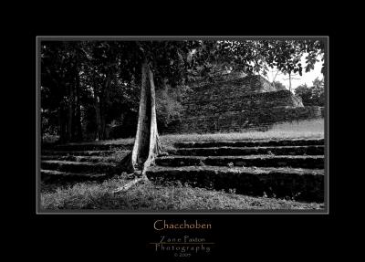
Chacchoben
The place of the red corn
The Chacchoben Mayan Ruins takes its name from the village located a few kilometers away. Although translation of the name Chacchoben isn't very clear among local people, it seems to make reference to "the place of the red corn". So far, no inscriptions indicating the original name of the site or at least the name of one of its rulers have been found, therefore it is officially know as �Chacchoben, the place of the red corn�
Modern History
Modern history of the site started in the mid 40's when Mr. Serviliano Cohuo, a young man looking for the best land to settle down decided to start his farm in the area. Time passed and over the years the ruins of the ancient city became the backyard of Mr. Cohuo and his family. In 1972, Dr. Peter Harrison, an American Archeologist leading a project from Tulane University, made the first professional exploration, the first maps of Chacchoben and officially reported it to the Mexican Government. Consequently, Mr. Cohuo, was designated honorary guard of the site and was granted his right to stay in his beloved farm, where he lived for the rest of his days. Unfortunately, he didn't live long enough to fulfill his dream of seeing the temples restored.
In June 1994, a new chapter in the history of Chacchoben was opened as the restoration project under the auspices of the INAH (National Institute of Anthropology and History) started. During the years that followed the complexes identified as Group I-A and Group I-B were excavated and restored. In October 2002, the Government and the community of Chacchoben, settled an agreement. The land was expropriated from the Cohuo family, and the restored complexes were officially opened to the public.
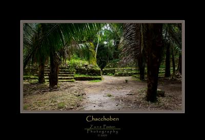
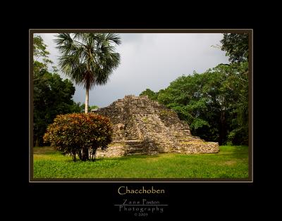
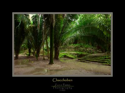
Chacchoben's OriginsThe first human settlements in the area of Chacchoben, have been dated as early as 1000 BC. Evidence collected during the excavations shows that most of the structures restored were built around the year 360 AD and were modified up to five times during the occupation period. The ceremonial center of the site covers an area of nearly 6 square kilometers. It is located in an area known as the "Region of the Lakes" due to the number of lagoons and areas with low terrains that are permanently humid or flooded during the rainy season.
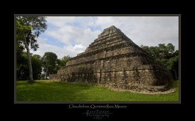
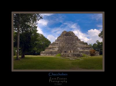 Temple-1 Front View |
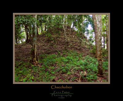 Unexcavated Ruin |
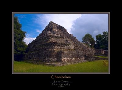
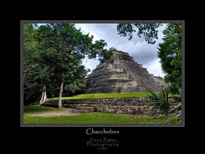 Temple-1 |
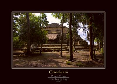 Temple-24-Plaza B |
 Grand Plaza-2 |
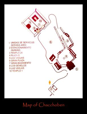 Map |
 Las Vasijas |
 Grand Plaza-3 |
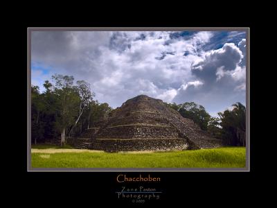
 Temple-1 |
 Temple-24 |
 Acropolis-2 |
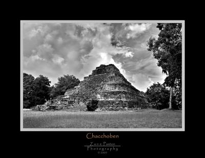 Temple 1-B&W |
 Temple 1-BW-b |
| comment | share |
| Ron Horloff | 27-Oct-2006 02:32 | |