


|
|
|
|
|
|
| Jasja van Leeuwen | profile | all galleries >> travels >> new zealand 2006 >> Tongariro Crossing | tree view | thumbnails | slideshow | map |
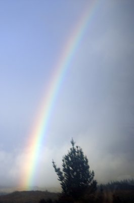 Rainbow |
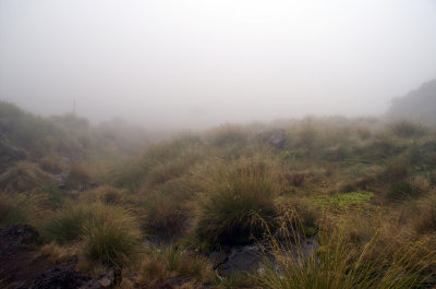 Near Mangatepopo Hut |
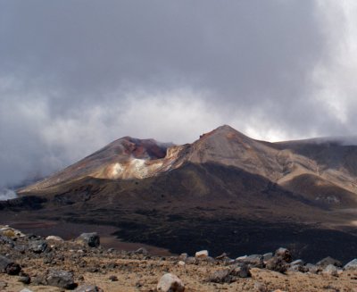
 Ascending Red Crater |
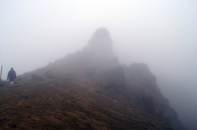
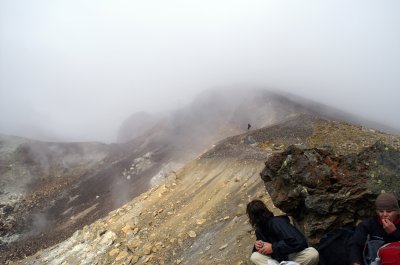
 Visibility at Red Crater |
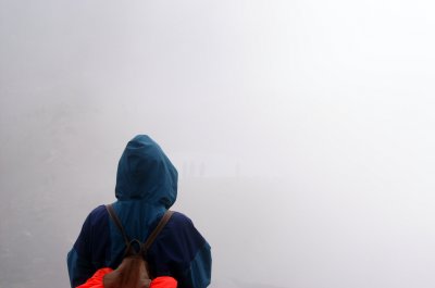
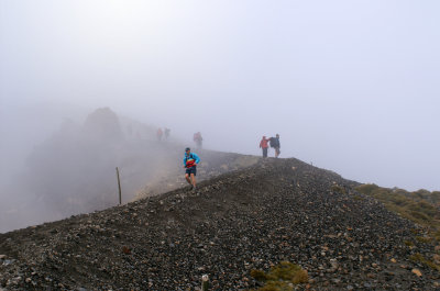 Walkers Descending |
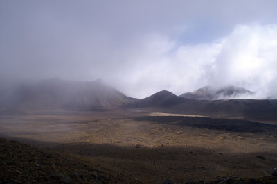 Central Crater |
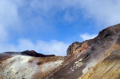
 Red Crater |
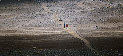
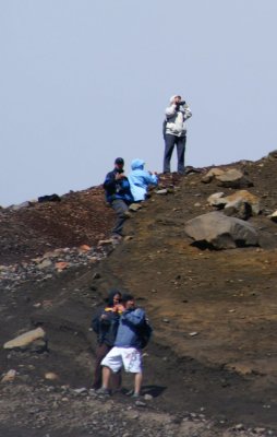 Walkers |
 Central Crater |
 Emerald Lakes |
 Red Crater |
Tongariro Crossing |
 Red Crater |
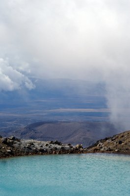
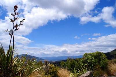
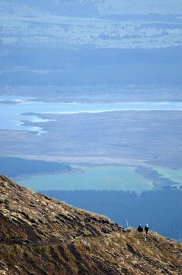 View towards Lake Otamangakau |
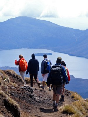 Walkers and Lake Rotoaira |
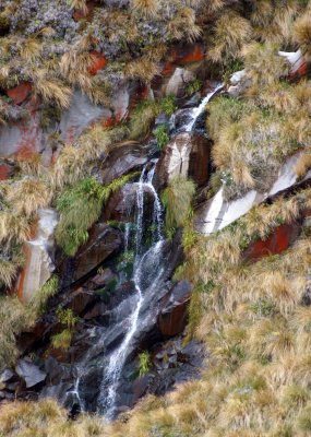 Waterfall |
 Ketatahi Hut and the Big Wave |
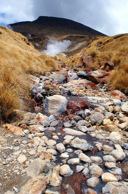 Ketatahi Springs |
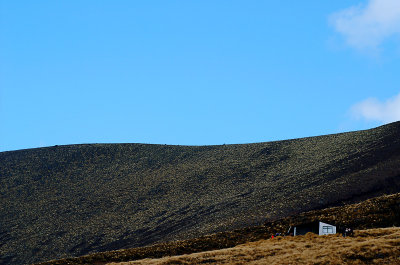
 North Slope |
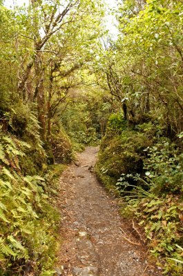 Forest |
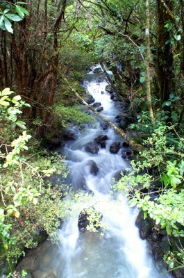 Stream |
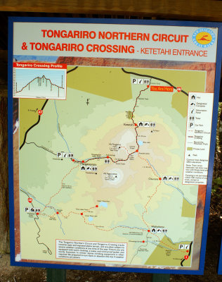 Tongariro Track Map |
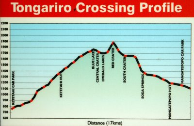 Tongariro Crossing Profile |
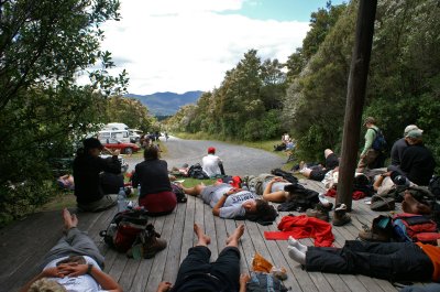 Ketatahi Car Park |
| comment | share |