


|
|
|
|
|
|
| Bryan Murahashi | profile | all galleries >> 2012 Adventures >> July 28 - Eight days and 77 Miles on the Pacific Crest Trail | tree view | thumbnails | slideshow | map |
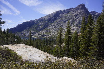
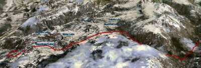
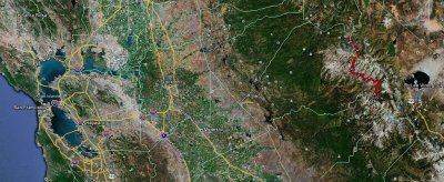 The big picture |
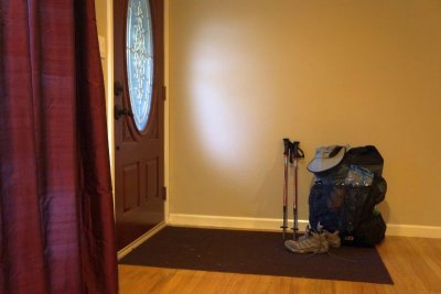 Packed and ready for the ride to Lee Vining |
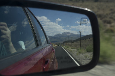
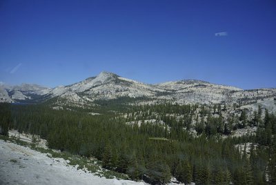 Driving through Yosemite NP |
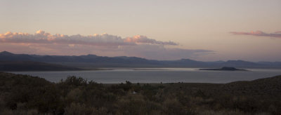
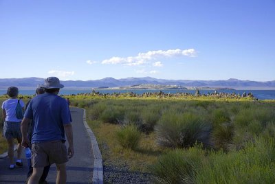 Evening visit to Mono Lake |
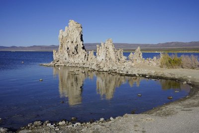 The Tufas of Mono Lake |
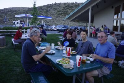 Dinner at the Mobil gas station |
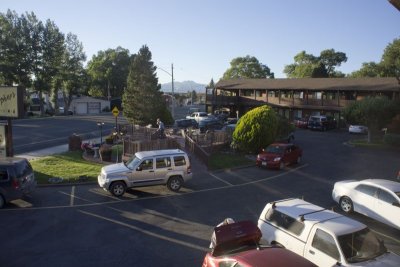 Day 1 - Early morning at the motel in Lee Vining |
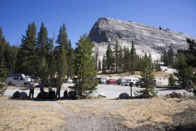
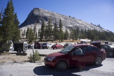 Drop off at Lembert Dome, Yosemite NP |
 Waiting for the van to drive us to the trailhead |
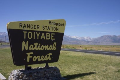 Stop at the Ranger Station to get our Wilderness Permit |
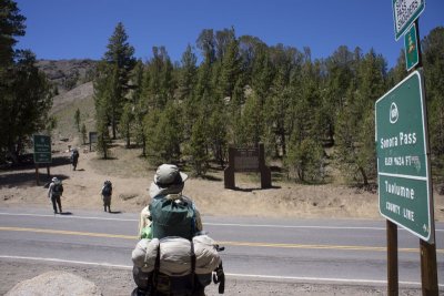
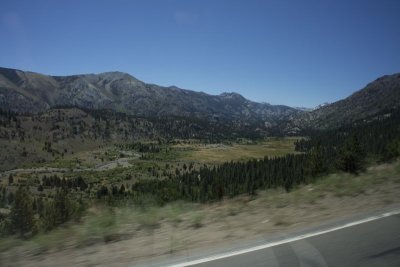 Driving up to the Sonoma Pass |
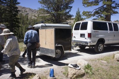 Unloading the trailer at Sonoma Pass |
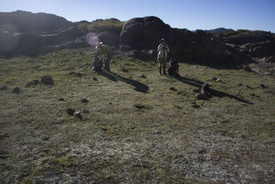
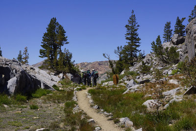
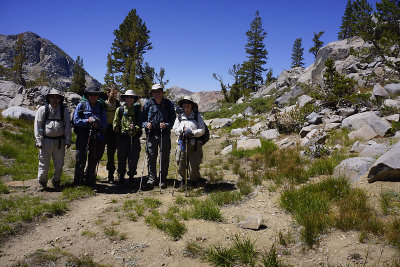
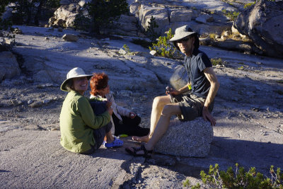
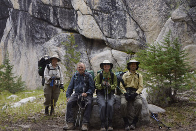
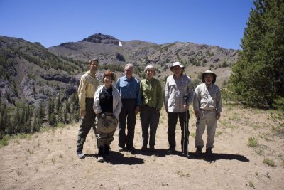 First group shot |
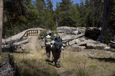
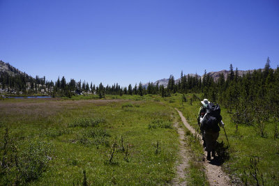
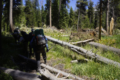
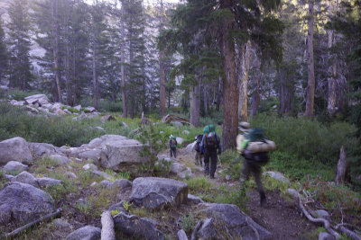
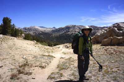
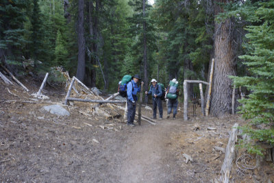
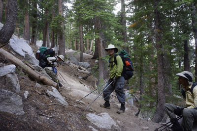
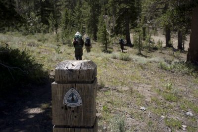 Starting our hike on the Pacific Crest Trail |
 The historic Sonora Pass |
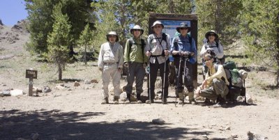 At the Sonora Pass trail head |
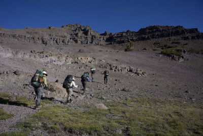
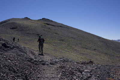
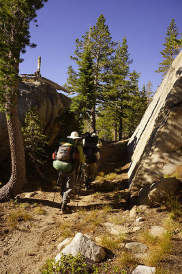
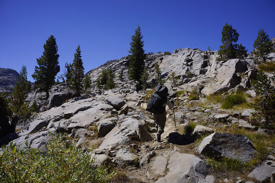
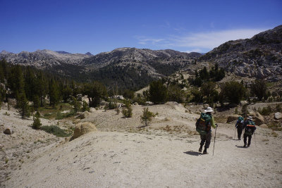
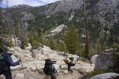
 Starting our ascent |
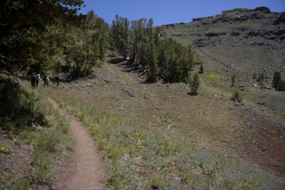
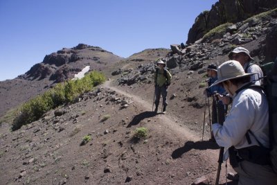
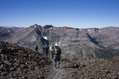
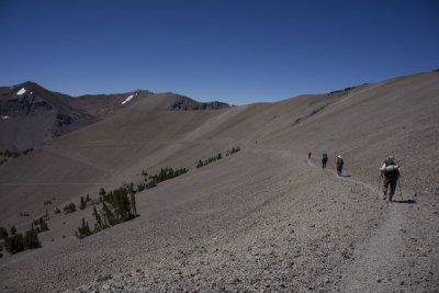
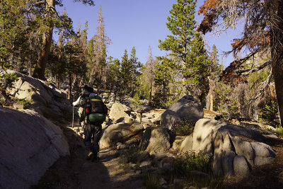
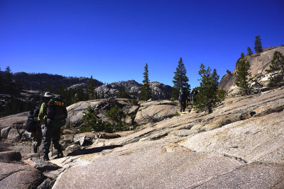
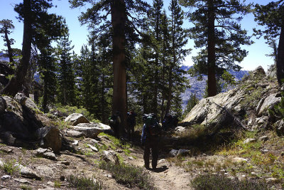
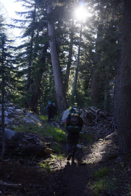
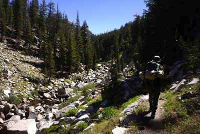
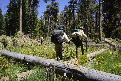
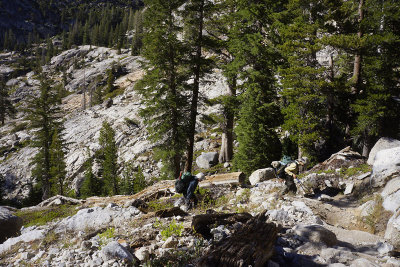
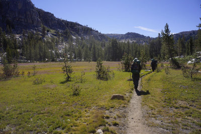
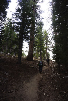
 On the Pacific Crest Trail |
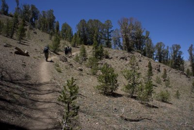
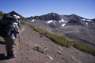
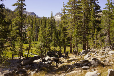
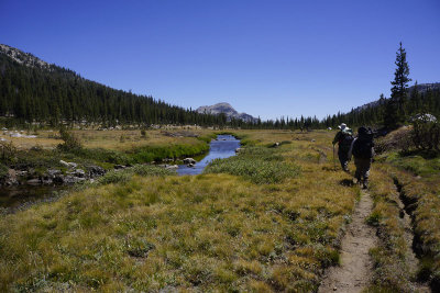
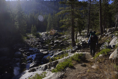
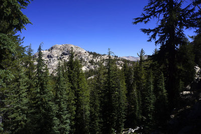
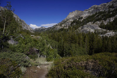
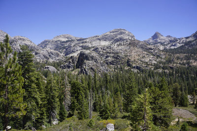
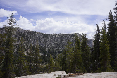
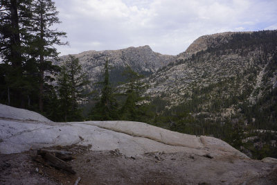
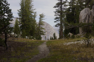
 View from the trail |
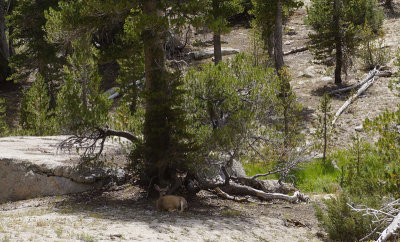
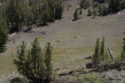 Deer |
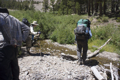
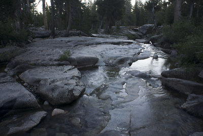
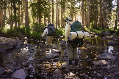
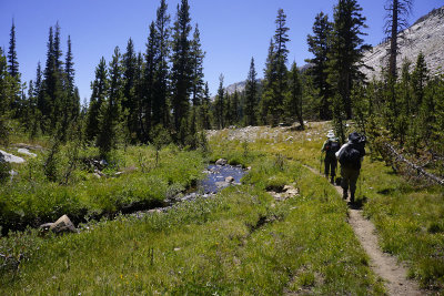
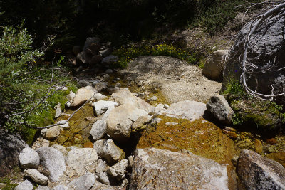
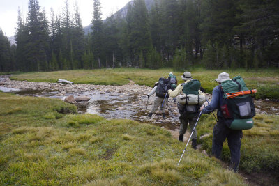
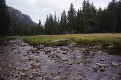
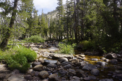
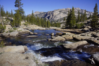
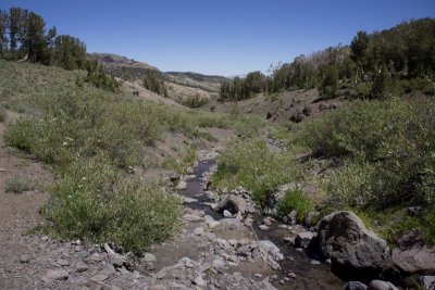 First stream crossing |
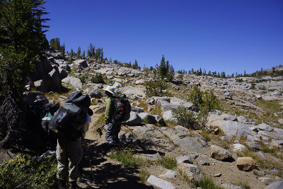
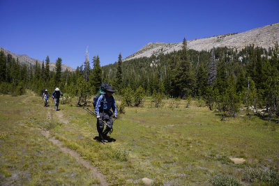
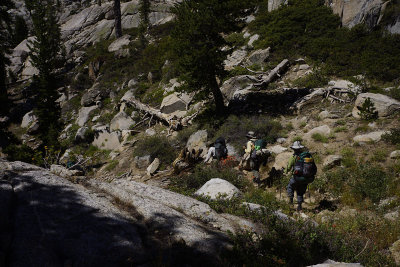
 On the PCT |
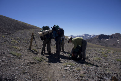
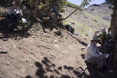 Lunch break |
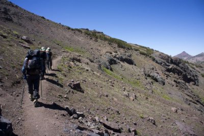 Still climbing |
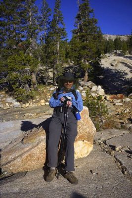
 Taking a break |
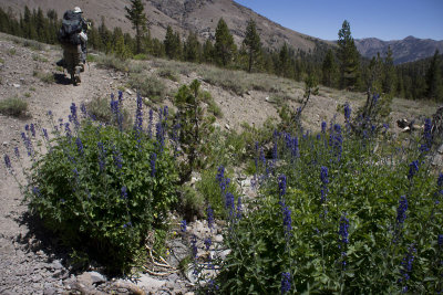
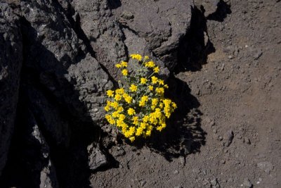 Some wildflowers along the trail |
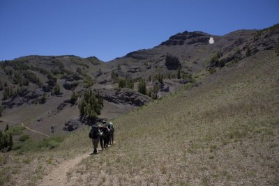
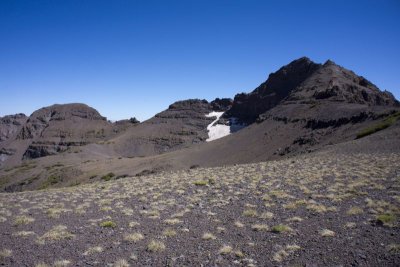
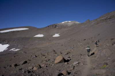
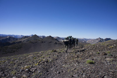
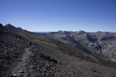
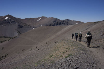
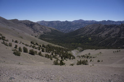
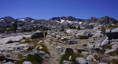
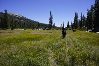
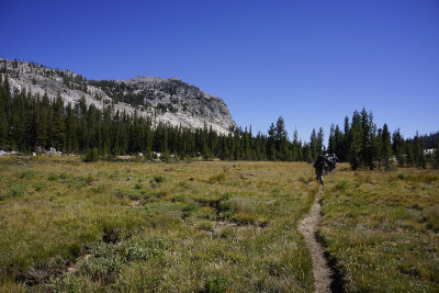
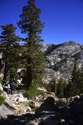
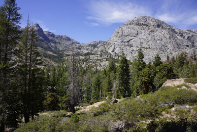
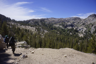
 High country trail |
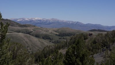
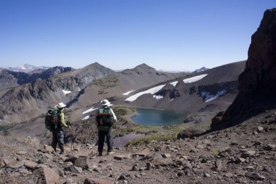
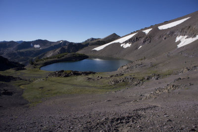
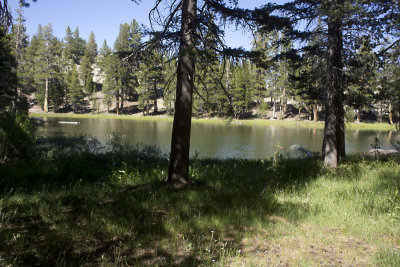
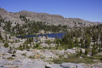
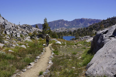
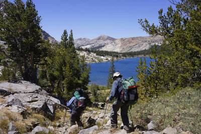
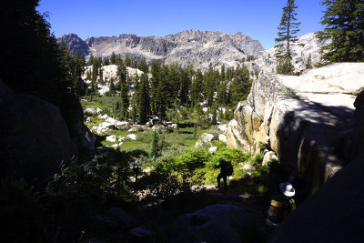
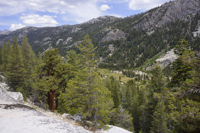
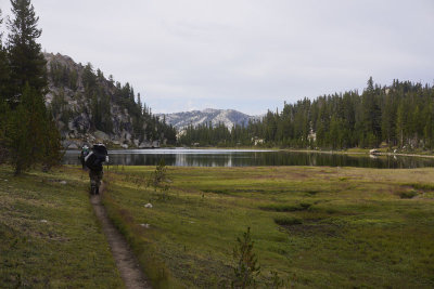
 Distant lake |
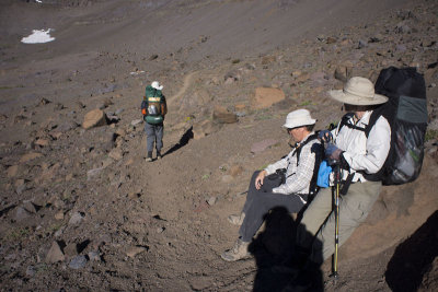
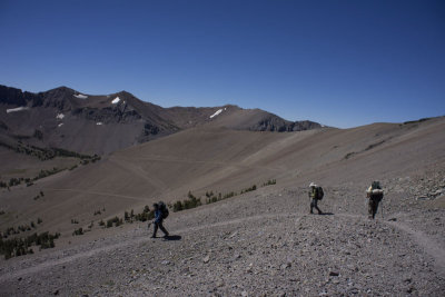
 Taking another little break |
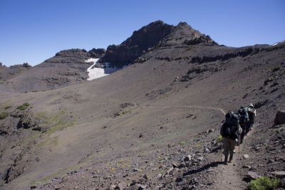
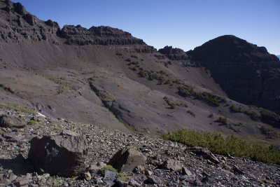
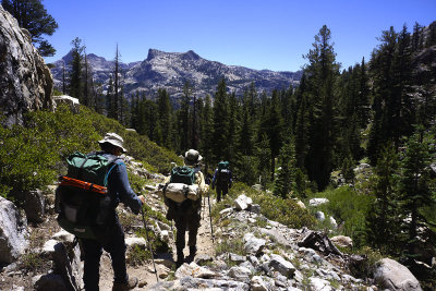
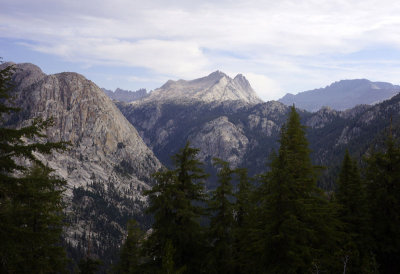
 A distant view of our last climb |
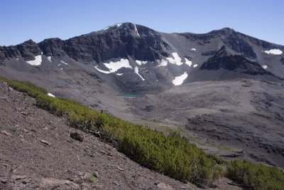
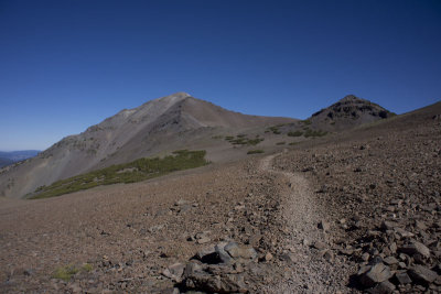
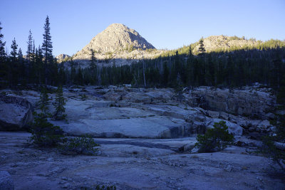
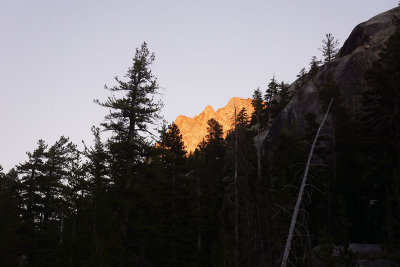
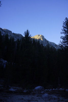
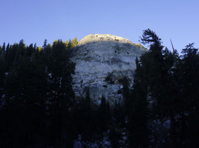
 Leavitt Peak |
 Leavitt Peak |
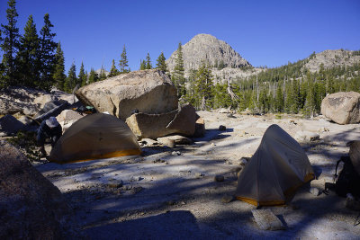
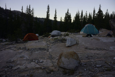
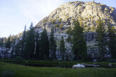
 Our campsite, Latopie Lake |
 Top of the pass |
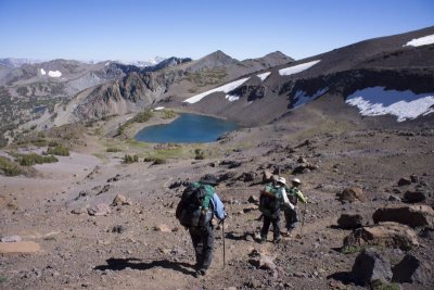 Hiking down to Latopie Lake |
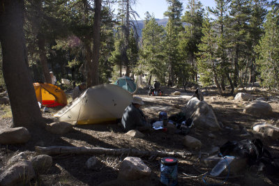
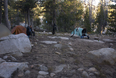
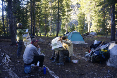
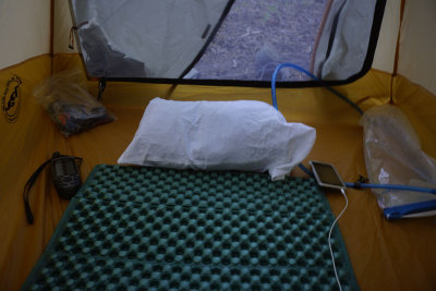
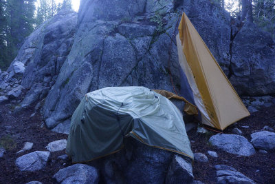
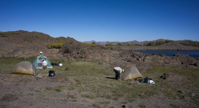 Setting up our tents |
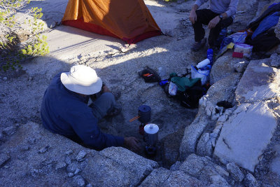
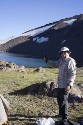 John with our Iridium Satellite Phone |
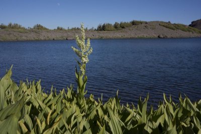 Flowering Corn Lily |
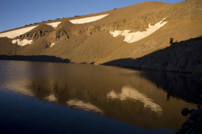
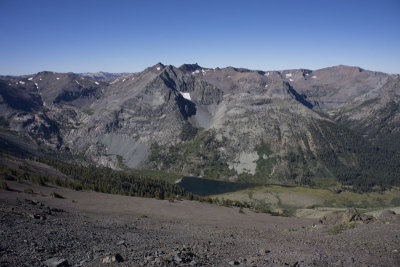
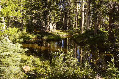
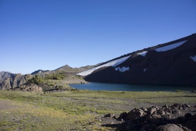 Latopie Lake |
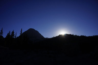
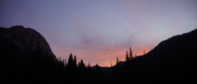
 Sunset |
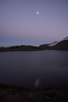 Moon Light |
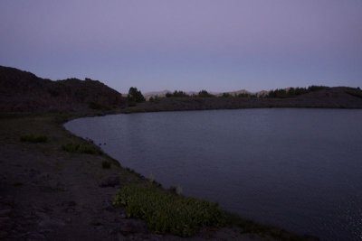 Dusk at Latopie Lake |
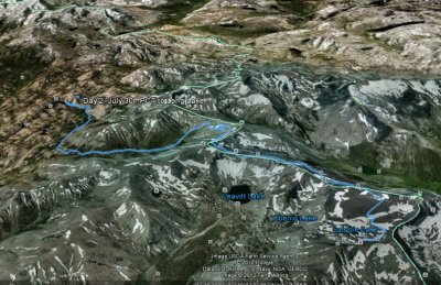
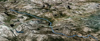
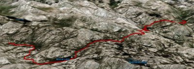
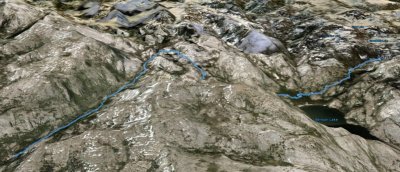
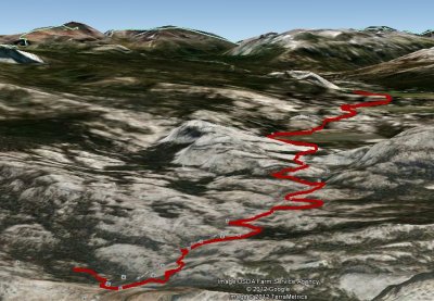
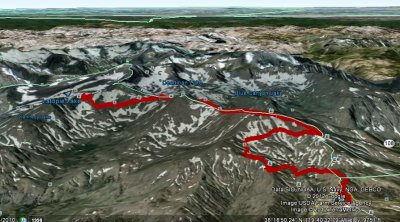 The map of our first day on the PCT |
 Day 2 - 44 deg F morning |
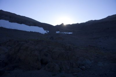
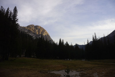
 Calm Sunrise |
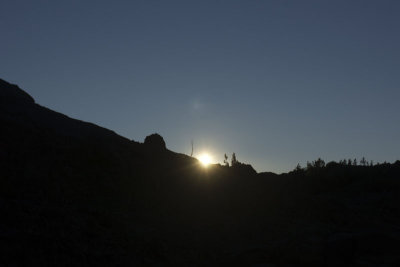 Sunrise |
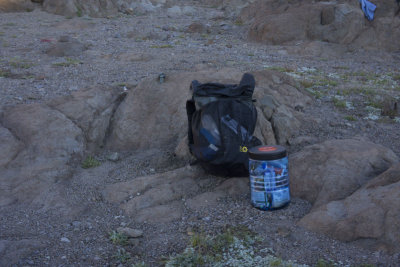 The Bear Cannister |
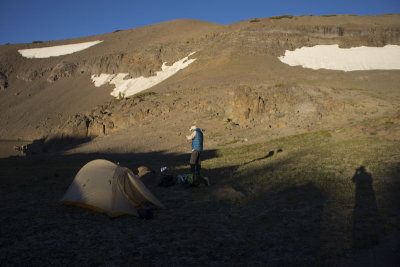 John |
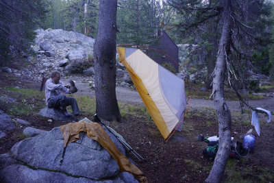
 Clean Camp |
 Hike up from Latopie Lake |
 Leaving Latopie Lake |
 A sandy and slippery hike upwards |
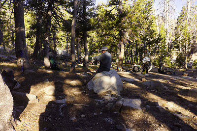
 Taking a little break |
 Tree less hike |
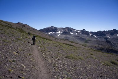
 On the PCT |
 Above Latopie Lake |
 View Back |
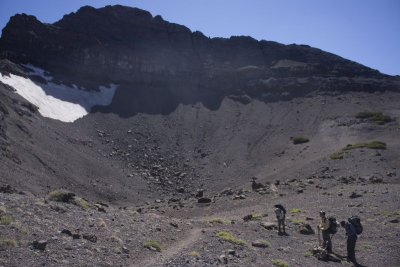
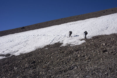 Our first and Only Snow Crossing |
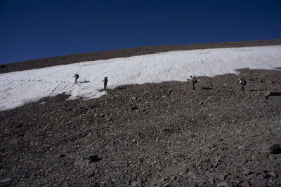 Our first and Only Snow Crossing |
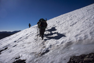 Snow Crossing |
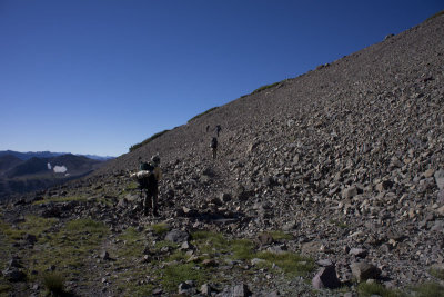
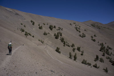
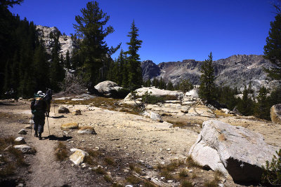
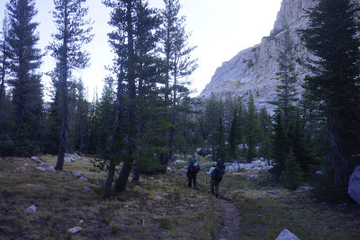
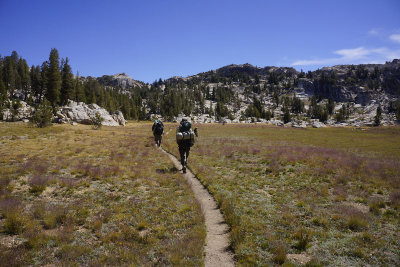
 Cool and Breezy High Country Hike |
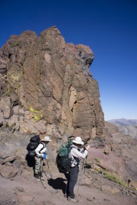
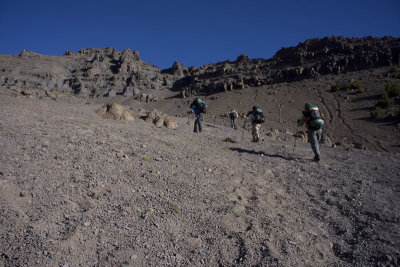
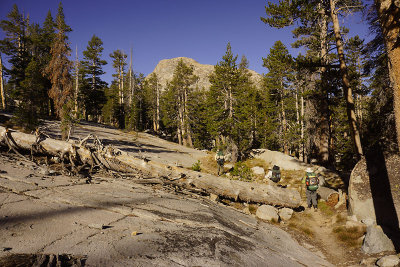
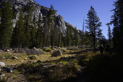
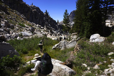
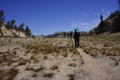
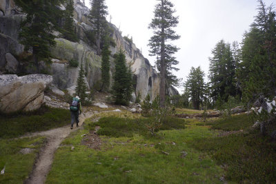
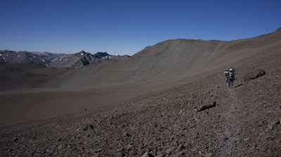 Desolation trail |
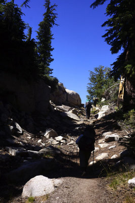
 Rocky Trail |
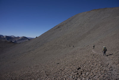 |
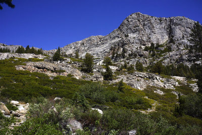
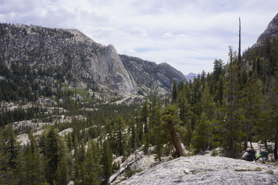
 At the Top of the World |
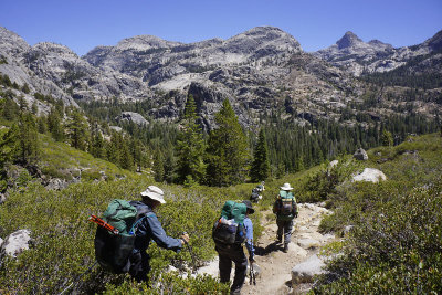
 Great high views |
 Great high views |
 View back |
 |
 Checking the Map |
 Starting our long and winding descent |
 Our long and winding descent |
 Our long and winding descent |
 Descending into the forest |
 Looking back at the long trail |
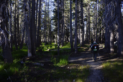
 Entering the forest |
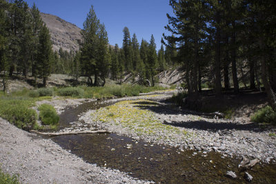
 Stream for filling our water bottles |
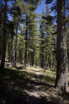 Under the Trees |
 Wildflowers |
 A nice flowery stream |
 The bridge over Walker River |
 Mosquitoey Long Lake |
 Mosquitoe Free camp near the river |
 The map of our second day on the PCT |
 Day 3- Morning at Walker River |
 Morning at our campsite |
 Sunrise |
 Breaking Camp |
 Back on the Pacific Crest Trail |
 |
 Climbing to Dorothy Pass |
 Climbing to Dorothy Pass |
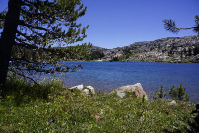
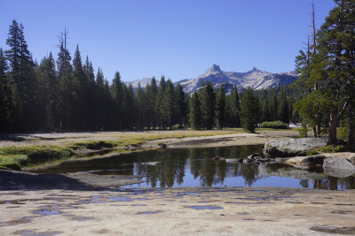
 A pretty little Pond |
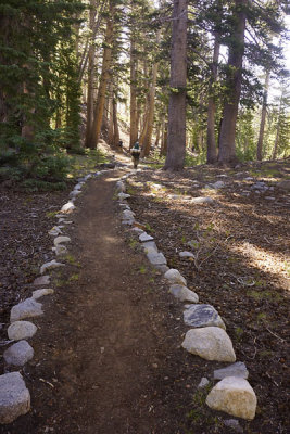 A well marked trail |
 Going downhill |
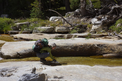
 A Stream Crossing |
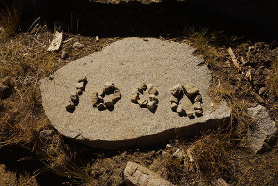 1000 Miles from the Mexican Border |
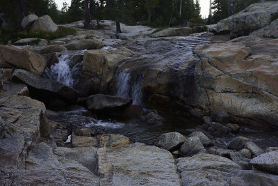
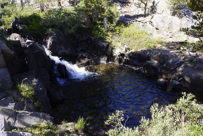 Taking a break at this little Waterfall |
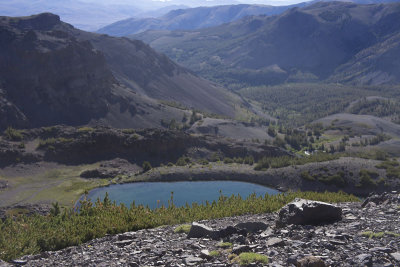
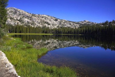
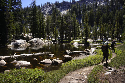
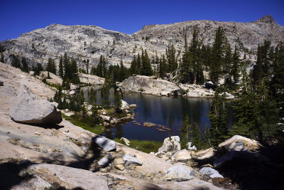
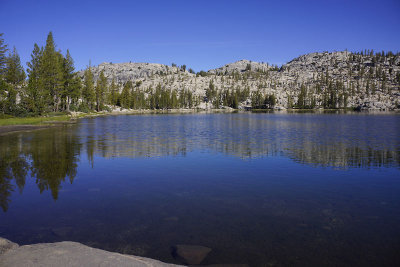
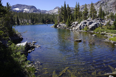 Lake Harriet |
 Lake Harriet |
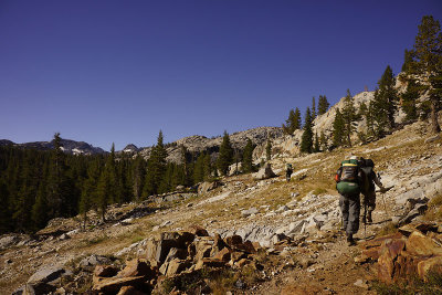
 Still climbing |
 A Shady Break |
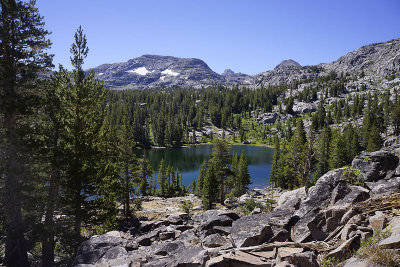
 A nice lake |
 Still Climbing to Dorothy Pass |
 At Dorothy Pass |
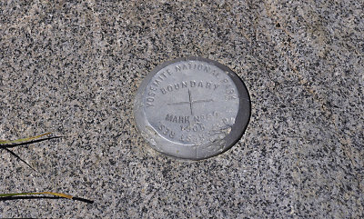 We have just entered Yosemite NP |
 View back with Ben |
 Group at Dorothy Pass |
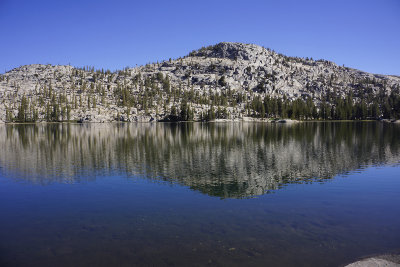
 Dorothy Lake |
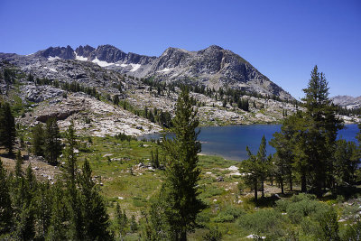 Dorothy Lake |
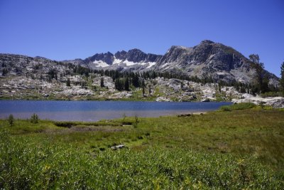 Dorothy Lake |
 Lunch View |
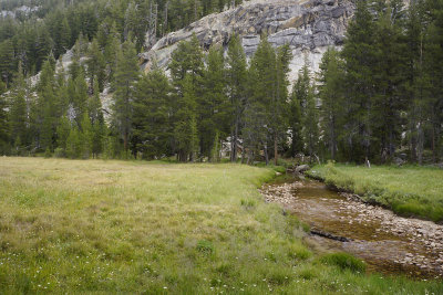
 Nice meadow |
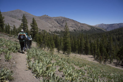
 Hiking Along Falls Creek |
 Grace Meadow |
 Grace Meadow |
 Along Falls Creek |
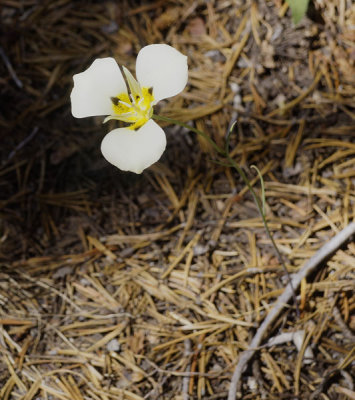 A Mariposa Lily |
 Grace Meadow |
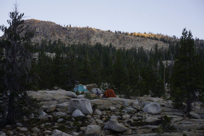
 Our campsite |
 Sherri treating some blisters |
 The Kitchen |
 View from our Camp site |
 Falls Creek |
 Day Three Map |
 Day 4 - Morning at Falls Creek |
 Morning at Falls Creek |
 Morning at Falls Creek |
 Sunrise |
 Bill ready for the days hike |
 Leaving Camp |
 Hiking along Falls Creek |
 Starting our climb |
 Wilma Lake |
 Taking a break |
 |
 The view as we climb |
 Near the top |
 And the downhill |
 Nice View |
 First clouds |
 Sunset at camp |
 Day Four Map |
 Day 5 - Sunrise |
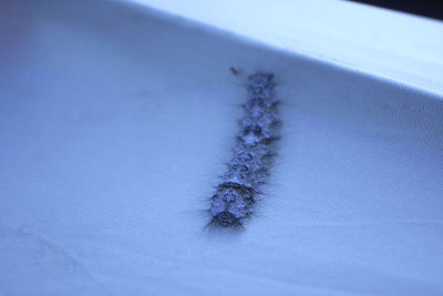 Catepillar on Bill's tent |
 Creek |
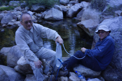 Pumping water |
 Sherri helping Bill with his broken sunglasses |
 Leaving Camp |
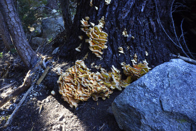 Shrooms |
 Nice little valley |
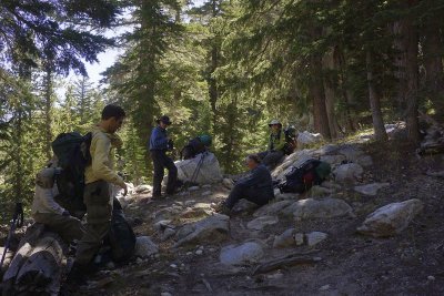 Taking a break on the climb |
 Hiking along the Smedberg Lake Outlet |
 Near the top |
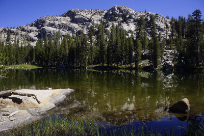
 A little lake along the trail |
 |
 Downhill |
 Alpine Lake |
 PCT |
 Very Yosemite |
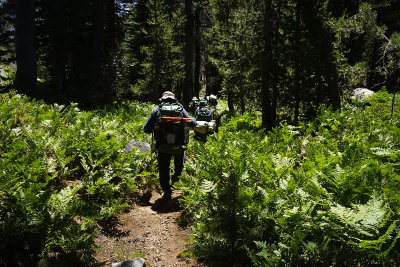 Nice forest of ferns |
 |
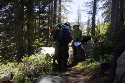 Checking the map |
 Great views |
 Great views |
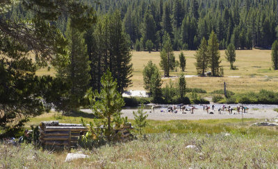
 Benson Lake Chaos |
 Hiking on all the fallen trees |
 |
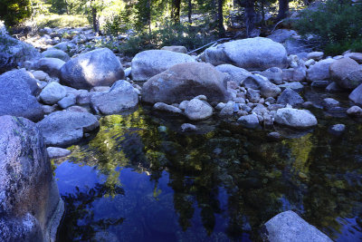
 Benson Lake |
 Another climb |
 Finally, Camp |
 Our very little stream |
 Sunset at the pond |
 Camp Toys |
 Day five map |
 Day 6 - Sunrise |
 Leaving Camp |
 Hike to Smedberg Lake |
 Smedberg Lake |
 Smedberg Lake |
 A nice meadow |
 A nice view |
 Another nice meadow |
 At the top of Benson Pass |
 Sherri at the top of Benson Pass |
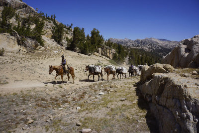 Mule Train |
 Down Benson Pass |
 Taking a break at this refreshing stream |
 Resting Deer |
 Thunder clouds |
 Winding Descent |
 View of the valley where we would camp |
 Lots of Granite |
 Stream near our campsite |
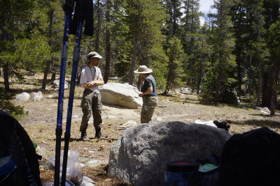
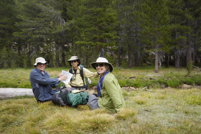 Checking the map |
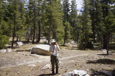
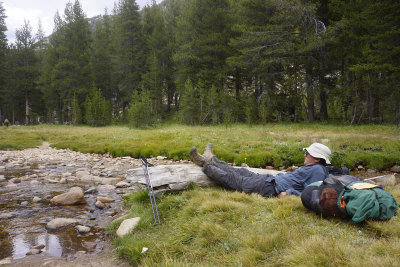 John resting |
 Day 6 trail map |
 Day 7 - Sunrise |
 Sunrise |
 Crossing the stream |
 View back |
 Climbing the Matterhorn trail |
 A gate |
 View of where we came from |
 Taking a break from the long climb |
 Matterhorn peak? |
 Top of this pass |
 Break at the top |
 View Back |
 Miller Lake |
 A nice stream |
 Sherri soaking her hat |
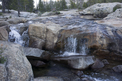
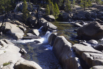
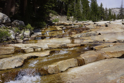 Great cascade |
 Lunch - Ben using the Satellite phone for his moms bday call |
 And Susan using the Satellite phone for her sisters bday call |
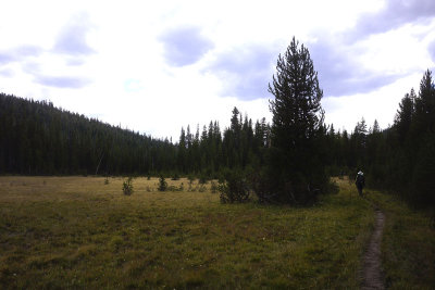 Endless meadow |
 Glen Aulin High Sierra camp |
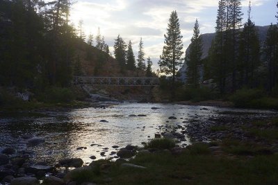 The Bridge to end of the trip |
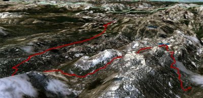 Day 7 trail map |
 Day 8 - Thunder, Lightning and Rains - Wet tent |
 Trying to drying our wet tents |
 John's tent |
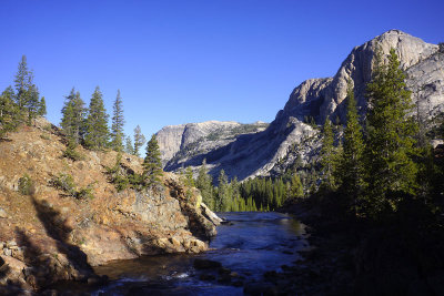 Tuolumne River from the bridge |
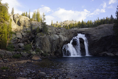
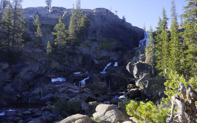 Falls above the Glen Aulin Falls |
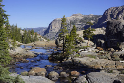 Tuolumne river to Glen Aulin Falls |
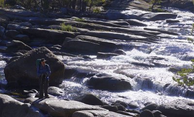 Bill at the cascading Tuolumne river |
 Cascading Tuolumne river |
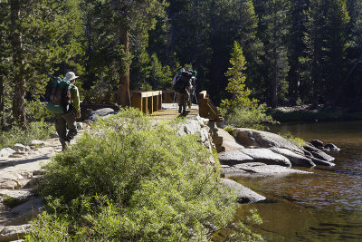 Crossing the Tuolumne River. |
 Tuolumne river |
 Cathedral peak at Tuolumne Meadows |
 Yoga at Tuolumne meadows |
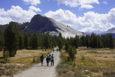 The end - Back at Lembert Dome |
 Day 8 trail map |
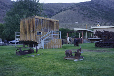 Evening at the Lee Vining Museum - the upside down house |
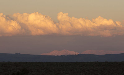 Sunset at Lee Vining |
 Sunset at Mono Lake |
 Morning at the Lee Vining Museum |
 Sunrise at Lee Vining |
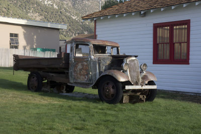 1935 Chevy Dump Truck |
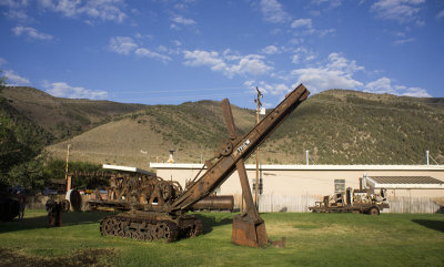
 Lee Vining Museum |
 Highway 395 View |
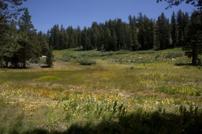 Carson Pass meadow |
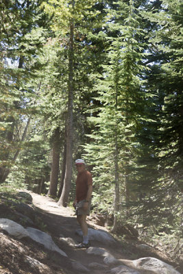 John getting started on the next leg of the PCT |
| Giancarlo Guzzardi | 21-Nov-2012 08:19 | |
| Steven Jusczyk | 26-Sep-2012 07:29 | |