


|
|
|
|
|
|
| Kazuo Lim Khee Boon | profile | all galleries >> My Travel Album >> Thailand >> Central Thailand >> Saraburi | tree view | thumbnails | slideshow |
Saraburi

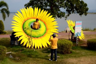
Pasak Chonlasit Dam |
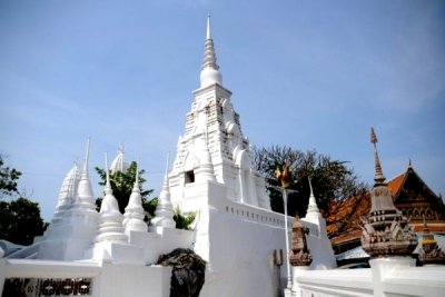
Wat Phra Phutthabat - Lord Buddha Footprint |
| comment | share |