


|
|
|
|
|
|
| Kazuo Lim Khee Boon | profile | all galleries >> My Travel Album >> Thailand >> Central Thailand >> Samut Prakan | tree view | thumbnails | slideshow |
Samut Prakan

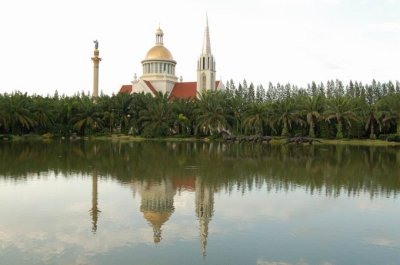
Bangna Assumption University |
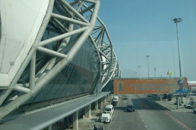
Suvarnabhumi Airport |
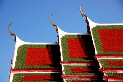
Wat Lat Krabang |
Autour de Lat Krabang |
| comment | share |