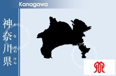
Kanagawa Prefecture is a prefecture located in the southern Kantô region of Honshű, Japan. The capital is Yokohama. Kanagawa is part of the Greater Tokyo Area.
Kanagawa Prefecture is a relatively small prefecture located at the southeastern corner of the Kantô Plain wedged between Tokyo on the north, the foothills of Mount Fuji on the northwest, and the Sagami Bay and Tokyo Bay on the south and east. The eastern side of the prefecture is relatively flat and heavily urbanized, including the large port cities of Yokohama and Kawasaki, but becomes more relaxed to the southeast, near the Miura Peninsula, where the ancient city of Kamakura draws tourists to its temples and shrines. The western part, bordered by Yamanashi Prefecture and Shizuoka Prefecture on the west, is more mountainous and includes resort areas like Odawara and Hakone. The area, stretching 80 km from west to east and 60 km from north to south, contains a 2,400 sq km of land, accounting for 0.64 % of the total land area of Japan.