Nara Prefecture is a prefecture in the Kinki region on Honshű Island, Japan. The capital is the city of Nara.
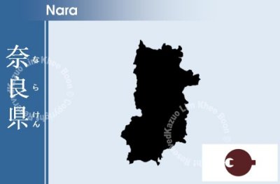
Nara Prefecture is part of the Kansai, or Kinki, region of Japan, and is located in the middle of the Kii Peninsula on the western half of Honshű. Nara Prefecture is landlocked. It is bordered to the west by Wakayama Prefecture and Osaka Prefecture; on the north by Kyoto Prefecture and on the east by Mie Prefecture. Nara Prefecture is 78.5 km from East to West and 103.6 km from North to South.
The prefecture is covered by mountains and forests for most of its part, leaving only an inhabitable area of 851 km˛, smallest of the 47 prefectures of Japan. The ratio of inhabitable area over total area is 23%, ranked 43rd nationwide.
Geologically, Nara Prefecture is bisected by the Median Tectonic Line (MTL) running through its territory East-West, along Yoshino River. On the north side is located the so-called Inner Zone, where North-South active faults are shaping the landscape. There is Ikoma Mountains in the north-west forming a border line between Osaka, then the Nara Basin laid out next to it in the east, where the highest population of Nara Prefecture concentrates. Further to the east is the Kasagi Mountains separating the basin from Yamato Highlands. In the south of the MTL, the Outer Zone, is the Kii Mountains. This mountainous area occupies about 60% of the prefecture's land. The Ômine Mountain Range is in the center of the Kii Mountains running North-South, with steep valleys on its both sides. The 1915 m high tallest mountain of Nara and Kansai, the Mount Hakkyô is in this range. In the west side separating Nara from Wakayama is the Obako Mountain Range, with its 1300 m class mountains. On the east end bordering Mie is the Daikô Mountain Range, including the 1695 m high Mount Ôdaigahara. This wide mountain area is also home to sites collectively inscribed as the "Sacred Sites and Pilgrimage Routes in the Kii Mountain Range" by UNESCO.