


|
|
|
|
|
|
| |
| 07-DEC-2010 | |
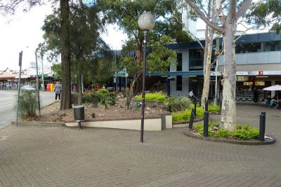
GPS test. took 1m 50 to lock on to satellites after turn on.
Outside Kogarah Railway station. Click "View map" to see where
the GPS coords from the camera have placed the photos on an
actual map. Location was about 5m out. Pbase Automatically
places a "view map" link for these GPS images.
All photographs are copyright of Barry S Moore, Sydney Australia