Whiskeytown National Recreation Area - http://www.nps.gov/whis
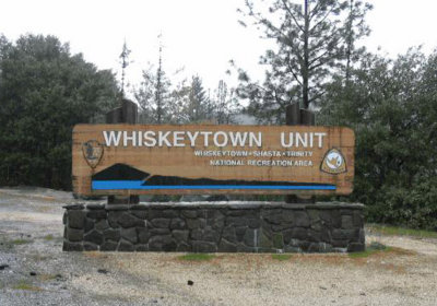
Of the three parts of the Whiskeytown - Shasta - Trinity National Recreation Area, the Whiskeytown Unit (authorized Nov. 8, 1965 and established October 21,1972), is the only unit administered by the National Park Service. For information on the other 2 Units (Shasta & Trinity), follow this link "Shasta-Trinity National Recreation Area".
Lake based recreational opportunities are Whiskeytown’s primary focus during the hot and dry summer months. Whiskeytown Lake provides 36 miles of shoreline and 3,200 surface acres of water, and is excellent for most water-related activities including swimming, boating, water skiing, fishing and scuba diving. Personal Watercraft are prohibited on Whiskeytown lake, but are still allowed on Shasta and Trinity Lakes. Whiskeytown Lake has become a popular area for kayaking, long distance swimming and rowing. Ranger guided programs are offered during the summer months and include free kayak tours! Year round activities include picnicking, hiking, mountain bike riding, horseback riding, trail running, photography, bird watching and wildlife viewing on and near the lake, as well as in the mountainous back country. California 1849 Gold Rush history and remains are also found at Whiskeytown.
Whiskeytown Lake was created by diverting water through tunnels and penstocks, from the Trinity River Basin to the Sacramento River Basin.
The most prominent landmark within the Recreation Area is Shasta Bally (elevation 6,209 feet). The summit may be reached on foot and by 4-wheel drive vehicle, but is closed in the winter.