photo sharing and upload picture albums photo forums search pictures popular photos photography help login
Type your message and click Add Comment
It is best to login or register first but you may post as a guest.
Enter an optional name and contact email address. Name
Name Email
help private comment
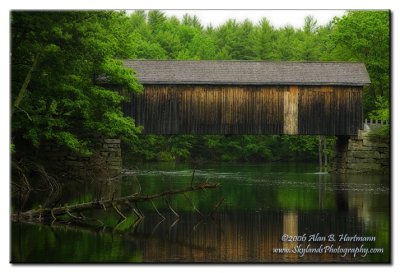
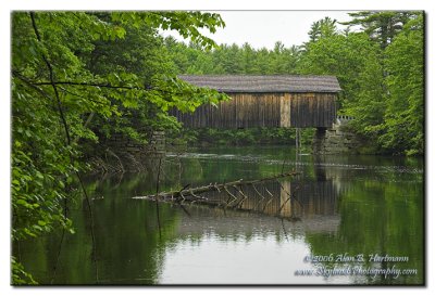
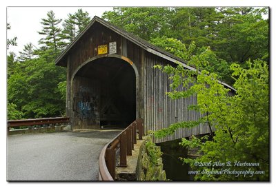
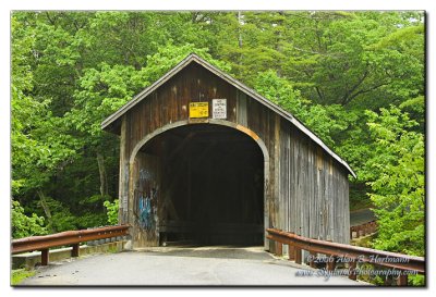
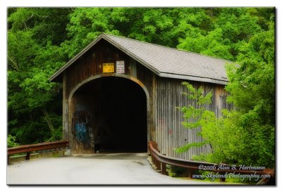
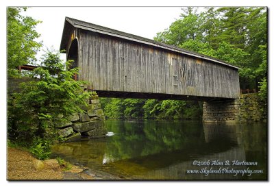
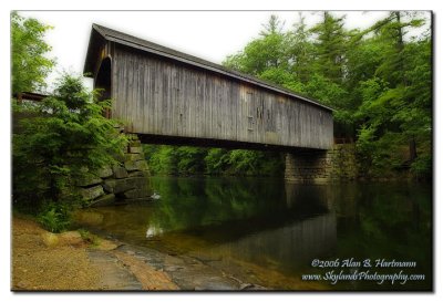
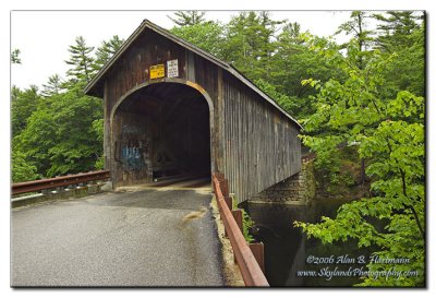
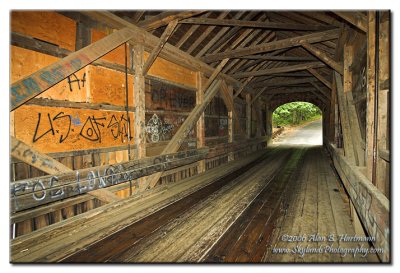
Alan Hartmann | profile | all galleries >> Covered Bridges >> Covered Bridges of Maine >> 19-03-01 Cumberland County, Babb Covered Bridge tree view | thumbnails | slideshow | map

19-03-01 Cumberland County, Babb Covered Bridge

South Windham ME, Cumberland County. On Covered Bridge Rd, 0.4 miles west of River Rd., 1.7 miles north of Rt. 202. Spans the Presumscot River

N43 45.960 W70 26.868
PBase Maps
[ Yahoo! Maps ]
South Windham, ME
IA7X6795
IA7X6795
IA7X6797
IA7X6797
IA7X6798
IA7X6798
IA7X6802
IA7X6802
IA7X6805
IA7X6805
IA7X6808
IA7X6808
IA7X6813
IA7X6813
IA7X6815
IA7X6815
IA7X6817
IA7X6817