photo sharing and upload picture albums photo forums search pictures popular photos photography help login
Type your message and click Add Comment
It is best to login or register first but you may post as a guest.
Enter an optional name and contact email address. Name
Name Email
help private comment
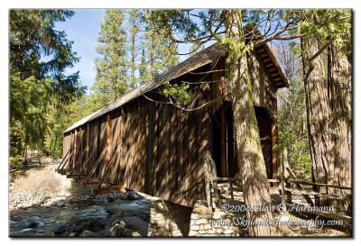
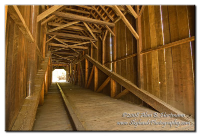
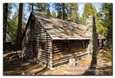
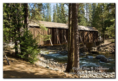
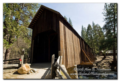
Alan Hartmann | profile | all galleries >> Covered Bridges >> Covered Bridges of California >> 05-22-01 Mariposa County, Wawona Covered Bridge tree view | thumbnails | slideshow | map

05-22-01 Mariposa County, Wawona Covered Bridge

In the Pioneer Yosemite History Center off Rt 41, apx 5 miles north of Yosemite National Park entrance. Spans the South Fork of the Merced River.
N37 32.265 W119 39.395
Added to PBase Maps 5/2/08

[ Yahoo! Maps ]
Wawona, CA
SKY_1077.jpg
SKY_1077.jpg
SKY_1078.jpg
SKY_1078.jpg
SKY_1084.jpg
SKY_1084.jpg
SKY_1086.jpg
SKY_1086.jpg
SKY_1090.jpg
SKY_1090.jpg
SKY_1092.jpg
SKY_1092.jpg