


|
|
|
|
|
|
| David Wooten | profile | all galleries >> Galleries >> Congressional Airport (Historic) | tree view | thumbnails | slideshow |
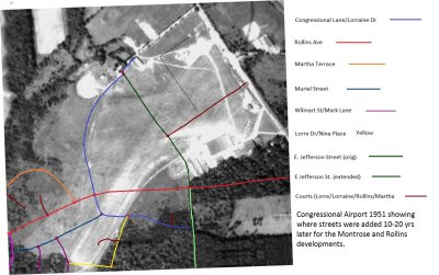 CongressionalAirport_1951_with_MontroseRollinsStreets.jpg |
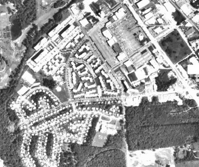 Congressional1970.jpg |
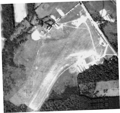 CongrssionalAirport1951.jpg |
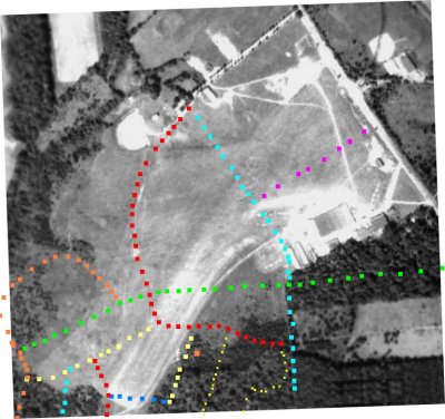 Congressional_Airport_1951_with_Montrose_EarlierAttempt.JPG |
 CongressionalAirportSchematic.jpg |
 Womack.jpg |
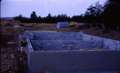 House Under Construction w/Congressional Plaza in background '61 |
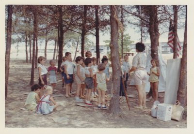 Montrose Park 1962 |
| comment | share |