


|
|
|
|
|
|
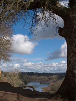
| stevephoto | profile | all galleries >> Galleries >> Along the American River | tree view | thumbnails | slideshow |
I have expanded this gallery to contain several sub-galleries. My sojourns
have expanded to include Folsom Lake and the North, Middle, and South Forks of
the
Oct 1, 2008
Pbase has made it a little easier to keep track of where a photo was taken. You can geo-tage a photo now. If a photo is geo-taged, a link (view map) will appear at the bottom of the image. That link will take you to a map and indicate the location of the photo.
May 26, 2005
I try to keep track of where a photo was taken. This is becoming a burden for my poor old mind. (I'm really just getting lazy.) So from now on or until I get a GPS for my camera, like that will ever happen, I'm just going to give the location to the nearest mile. e.g., Mile 19S means anywhere from mile 18.8 to mile 20 on the south bank.
:: Along The American River 2011 :: |
:: Along The American River 2010 :: |
:: Along The American River 2009 :: |
:: Along The American River 2008 :: |
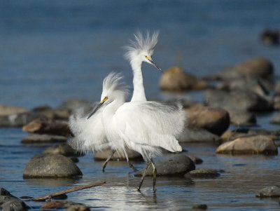
:: Along the American River 2007 :: |
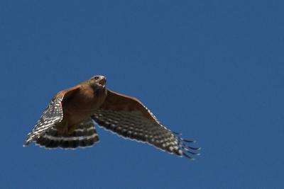
:: Along The American River 2006 :: |
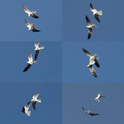
:: Along the American River 2005 :: |
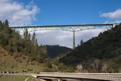
:: North Fork of the American River :: |
:: Along the American River 2004 :: |
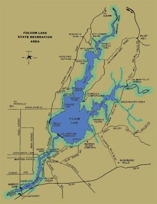
:: Around Folsom Lake :: |
| comment | share |
| Ted Chappell | 28-Mar-2008 03:34 | |
| Guest | 22-Nov-2006 21:04 | |
| Dennis Swayze | 04-Aug-2006 11:45 | |
| Guest | 21-Jan-2005 10:46 | |
| virginiacoastline | 01-Jan-2005 02:17 | |