photo sharing and upload picture albums photo forums search pictures popular photos photography help login
LeSon Photography | profile | all galleries >> Visit ....The Great Southwest: Utah, Arizona, Colorado >> Visit ... Zion National park tree view | thumbnails | slideshow

Visit ... Zion National park

+

Later trip in 2012 can be found at this LINK
https://plus.google.com/photos/106758067889447628755/albums/5836891483522654833

+ +

Day 02 of 07. August 16, 2009


The first day of the excursion after a day of our arrival at Kanab, from which we drove to Zion and Bryce. Most of the time the images were recorded off the main road of the general area of Zion. We decided to skip the 6 mile road into Zion Canyon, restricted to parks bus shuttle only, ending at the Temple of Sinawava ("Sinawava" refers to the Coyote God of the Paiute Indians), due to time constraint, and saved it for the next trip.

____Zion Park in Review____

Zion National Park is a national park located in the Southwestern United States, near Springdale, Utah. A prominent feature of the 229-square-mile (593 km2) park is Zion Canyon, 15 miles (24 km) long and up to half a mile (800 m) deep, cut through the reddish and tan-colored Navajo Sandstone by the North Fork of the Virgin River. Located at the junction of the Colorado Plateau, Great Basin, and Mojave Desert regions,

The canyon was discovered by Mormons in 1858 and was settled by that same group in the early 1860s. In 1909, U.S. President William Howard Taft named the area a National Monument to protect the canyon, under the name of Mukuntuweap National Monument. However, in 1918, the acting director of the newly created National Park Service changed the park's name to Zion as the original name was locally unpopular. Zion is an ancient Hebrew word meaning a place of refuge or sanctuary. The United States Congress established the monument as a National Park on November 19, 1919. The Kolob section was proclaimed a separate Zion National Monument in 1937, but was incorporated into the park in 1956.

The geology of the Zion and Kolob canyons area includes nine formations that together represent 150 million years of mostly Mesozoic-aged sedimentation. At various periods in that time, warm, shallow seas, streams, ponds and lakes, vast deserts and dry near-shore environments covered the area. Uplift associated with the creation of the Colorado Plateaus lifted the region 10,000 feet (3,000 m) starting 13 million years ago.


Return to the Southwest
https://pbase.com/shaunwin/southwest
+ + +
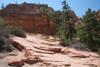
Zion Mtn road P1080373.jpg
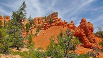
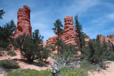
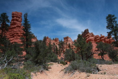
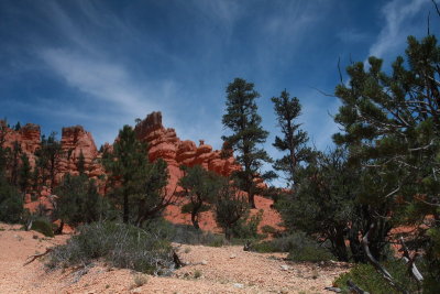
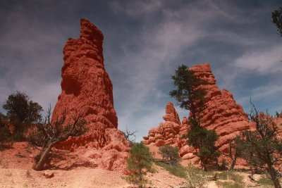
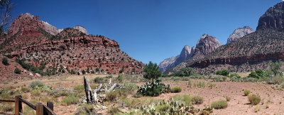
Zion NP nearby Bryce cyn, Frwy 15
IMG_6267.JPG
IMG_6267.JPG
IMG_6268.JPG
IMG_6268.JPG
IMG_6269.JPG
IMG_6269.JPG
IMG_6271.JPG
IMG_6271.JPG
Zion Mtn 1mile-tunnel (opening against walls) built 1920s    IMG_6057_resize.jpg
Zion Mtn 1mile-tunnel (opening against walls) built 1920s IMG_6057_resize.jpg
Zion Mtn  road  IMG_6063.jpg
Zion Mtn road IMG_6063.jpg
Zion Mtn road  IMG_6065.JPG
Zion Mtn road IMG_6065.JPG
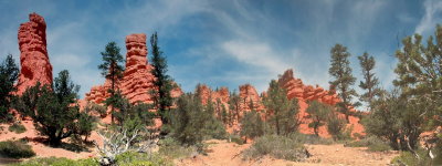
Zion Mtn road IMG_6267_68_69.jpg
Zion Visitor Ctr IMG_6047_48_49.jpg