


|
|
|
|
|
|
| |
| 26 May 2009 | Coleen Perilloux Landry |
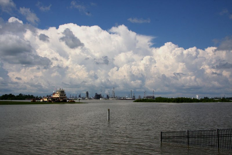
The U. S. Army Corps of Engineers moved one of its boats to the mouth of the Spillway where the rising water of the Mississippi is pouring in.
The Spillway gauge is just near the level where they opened the Spillway in 2008.
The River water this morning was much clearer at the locks, probably because of all the rain that fell in the past five days upriver.
Areas around Donaldsonville and Baton Rouge upriver are flooding from the River, but the Corps makes the final decision.
Coleen Perilloux Landry retains the international copyright not only for the original image but also for any versions of it.
| comment | |
| Cindi Smith | 26-May-2009 21:02 | |
| A J Adams | 26-May-2009 20:45 | |
| Coleen Perilloux Landry | 26-May-2009 20:44 | |
| Susanne | 26-May-2009 19:50 | |